Estimated Value: $167,000 - $3,524,836
1
Bed
1
Bath
912
Sq Ft
$2,277/Sq Ft
Est. Value
About This Home
This home is located at 272 Womble Rd, Cairo, GA 39827 and is currently estimated at $2,076,279, approximately $2,276 per square foot. 272 Womble Rd is a home located in Grady County.
Ownership History
Date
Name
Owned For
Owner Type
Purchase Details
Closed on
Apr 30, 2012
Sold by
Whigham J Weldon
Bought by
Jones William Robert
Current Estimated Value
Home Financials for this Owner
Home Financials are based on the most recent Mortgage that was taken out on this home.
Original Mortgage
$1,050,000
Interest Rate
4.01%
Mortgage Type
New Conventional
Purchase Details
Closed on
Jun 29, 2006
Sold by
Whigham J Weldon
Bought by
Whigham Gina W
Purchase Details
Closed on
Jun 26, 1984
Bought by
Whigham J Weldon
Create a Home Valuation Report for This Property
The Home Valuation Report is an in-depth analysis detailing your home's value as well as a comparison with similar homes in the area
Purchase History
| Date | Buyer | Sale Price | Title Company |
|---|---|---|---|
| Jones William Robert | $1,170,000 | -- | |
| Whigham Gina W | -- | -- | |
| Whigham J Weldon | $144,000 | -- |
Source: Public Records
Mortgage History
| Date | Status | Borrower | Loan Amount |
|---|---|---|---|
| Closed | Jones William Robert | $1,050,000 |
Source: Public Records
Tax History
| Year | Tax Paid | Tax Assessment Tax Assessment Total Assessment is a certain percentage of the fair market value that is determined by local assessors to be the total taxable value of land and additions on the property. | Land | Improvement |
|---|---|---|---|---|
| 2024 | $7,069 | $607,438 | $451,105 | $156,333 |
| 2023 | $5,815 | $329,223 | $256,389 | $72,834 |
| 2022 | $5,712 | $329,223 | $256,389 | $72,834 |
| 2021 | $5,601 | $327,956 | $255,122 | $72,834 |
| 2020 | $5,523 | $327,956 | $255,122 | $72,834 |
| 2019 | $5,429 | $327,956 | $255,122 | $72,834 |
| 2018 | $5,009 | $327,956 | $255,122 | $72,834 |
| 2017 | $4,687 | $327,956 | $255,122 | $72,834 |
| 2016 | $4,374 | $318,541 | $255,122 | $63,419 |
| 2015 | $4,247 | $318,541 | $255,122 | $63,419 |
| 2014 | $4,178 | $318,541 | $255,122 | $63,419 |
| 2013 | -- | $315,175 | $255,122 | $60,053 |
Source: Public Records
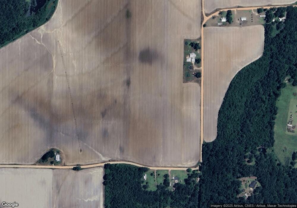
Map
Nearby Homes
- 189 Sabino Dr
- 565 Bond Rd
- 000 Noles Rd
- 53 +/- A Bond Rd
- 1521 Stage Coach Rd
- 1741 Georgia 112
- 0 N 111 Hwy
- 272 Homers Rd
- 0 County Line Rd Unit 167502
- 1016 Richter Rd
- 835 Mill Pond Rd
- 313 Coker Dr
- 126 Banks Rd
- 0 Wade Rd
- 425 Woodridge Ln
- 415 Woodridge Ln
- 462 Woodridge Ln
- 397 Woodridge Ln
- 7268 Lodgetown Rd
- 270 Woodridge Ln
- 219 Womble Rd
- 165 Womble Rd
- 2645 Ridge Rd
- 116 Womble Rd
- 2738 Ridge Rd
- 125 Womble Rd Unit 3
- 125 Womble Rd Unit 2
- 125 Womble Rd Unit 1
- 125 Womble Rd
- 2892 Ridge Rd
- 2626 Ridge Rd Unit L1
- 2584 Ridge Rd
- 2543 Ridge Rd
- 954 Griner Rd
- 387 Womble Rd
- 2501 Ridge Rd
- 2465 Ridge Rd
- 494 Womble Rd
- 2481 Ridge Rd
- 3007 Ridge Rd
Your Personal Tour Guide
Ask me questions while you tour the home.