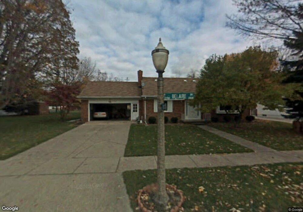
2720 Belaire Dr Lansing, MI 48911
Lewton Rich NeighborhoodEstimated Value: $261,527 - $278,000
4
Beds
3
Baths
2,170
Sq Ft
$124/Sq Ft
Est. Value
About This Home
This home is located at 2720 Belaire Dr, Lansing, MI 48911 and is currently estimated at $269,632, approximately $124 per square foot. 2720 Belaire Dr is a home located in Ingham County with nearby schools including Averill Elementary School, Attwood School, and J.W. Sexton High School.
Ownership History
Date
Name
Owned For
Owner Type
Purchase Details
Closed on
Aug 30, 2011
Sold by
Nguyen Hai T and Luong Loi D
Bought by
Rich Thomas A and Rich Barbara A
Current Estimated Value
Home Financials for this Owner
Home Financials are based on the most recent Mortgage that was taken out on this home.
Original Mortgage
$45,000
Outstanding Balance
$4,052
Interest Rate
4.58%
Mortgage Type
New Conventional
Estimated Equity
$265,580
Purchase Details
Closed on
Aug 19, 1996
Sold by
Clift Bobbie L
Bought by
Nguyen Hai T and Luong Loi D
Create a Home Valuation Report for This Property
The Home Valuation Report is an in-depth analysis detailing your home's value as well as a comparison with similar homes in the area
Home Values in the Area
Average Home Value in this Area
Purchase History
| Date | Buyer | Sale Price | Title Company |
|---|---|---|---|
| Rich Thomas A | $115,000 | First American Title Ins Co | |
| Nguyen Hai T | $118,300 | -- |
Source: Public Records
Mortgage History
| Date | Status | Borrower | Loan Amount |
|---|---|---|---|
| Open | Rich Thomas A | $45,000 |
Source: Public Records
Tax History Compared to Growth
Tax History
| Year | Tax Paid | Tax Assessment Tax Assessment Total Assessment is a certain percentage of the fair market value that is determined by local assessors to be the total taxable value of land and additions on the property. | Land | Improvement |
|---|---|---|---|---|
| 2025 | $4,478 | $125,700 | $15,100 | $110,600 |
| 2024 | $36 | $112,700 | $15,100 | $97,600 |
| 2023 | $4,090 | $97,100 | $15,100 | $82,000 |
| 2022 | $3,683 | $85,200 | $13,100 | $72,100 |
| 2021 | $3,606 | $78,200 | $11,700 | $66,500 |
| 2020 | $3,584 | $73,800 | $11,700 | $62,100 |
| 2019 | $3,438 | $66,500 | $11,700 | $54,800 |
| 2018 | $3,219 | $65,100 | $11,700 | $53,400 |
| 2017 | $3,083 | $65,100 | $11,700 | $53,400 |
| 2016 | $2,948 | $56,800 | $11,700 | $45,100 |
| 2015 | $2,948 | $54,000 | $23,300 | $30,700 |
| 2014 | $2,948 | $53,000 | $23,300 | $29,700 |
Source: Public Records
Map
Nearby Homes
- 2201 Pamela Place
- 2200 Rossiter Place
- 2505 Hanover Dr
- 2418 Rossiter Place
- 1533 Cambridge Rd
- 3310 W Mount Hope Ave
- 2710 Bedford Rd
- 3333 Moores River Dr Unit 812
- 2409 Victor Ave
- 3508 Muirfield Dr
- 3416 Cooley Dr
- 3421 Troon Cir Unit 29
- 3601 Muirfield Dr
- 3425 Cooley Dr
- 2812 Pleasant Grove Rd
- 2905 S Catherine St
- 1740 Wellington Rd Unit 103
- 2920 Pleasant Grove Rd Unit 1
- 3214 Gingersnap Ln
- 3614 Cooley Dr
- 2714 Belaire Dr
- 2710 Belaire Dr
- 2717 W Mount Hope Ave
- 2717 Belaire Dr
- 2711 W Mount Hope Ave
- 2801 Belaire Dr
- 2709 Belaire Dr
- 2700 Belaire Dr
- 1910 Edwin Place
- 2809 Belaire Dr
- 2701 W Mount Hope Ave
- 2011 Rossiter Place
- 2004 Edwin Place
- 2012 Rossiter Place
- 2901 Belaire Dr
- 2010 Edwin Place
- 2017 Rossiter Place
- 2018 Rossiter Place
- 2911 Belaire Dr
- 2803 S Cambridge Rd