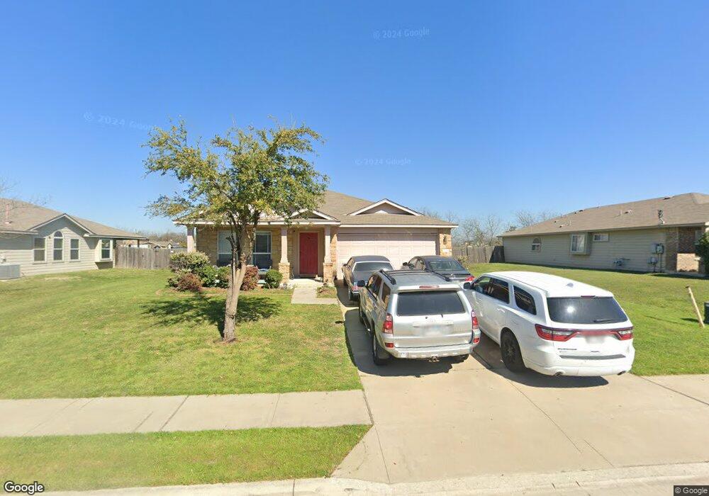
2720 Bluffstone Dr Round Rock, TX 78665
Stony Point NeighborhoodEstimated Value: $344,092 - $403,000
Studio
2
Baths
2,039
Sq Ft
$183/Sq Ft
Est. Value
About This Home
This home is located at 2720 Bluffstone Dr, Round Rock, TX 78665 and is currently estimated at $372,273, approximately $182 per square foot. 2720 Bluffstone Dr is a home located in Williamson County with nearby schools including Hopewell Middle School and Stony Point High IB World School.
Ownership History
Date
Name
Owned For
Owner Type
Purchase Details
Closed on
Jun 29, 2010
Sold by
Continental Homes Of Texas Lp
Bought by
Kirts Deidre and Kirts Shawn
Current Estimated Value
Home Financials for this Owner
Home Financials are based on the most recent Mortgage that was taken out on this home.
Original Mortgage
$169,322
Outstanding Balance
$113,022
Interest Rate
4.81%
Mortgage Type
FHA
Estimated Equity
$259,251
Create a Home Valuation Report for This Property
The Home Valuation Report is an in-depth analysis detailing your home's value as well as a comparison with similar homes in the area
Home Values in the Area
Average Home Value in this Area
Purchase History
| Date | Buyer | Sale Price | Title Company |
|---|---|---|---|
| Kirts Deidre | -- | None Available |
Source: Public Records
Mortgage History
| Date | Status | Borrower | Loan Amount |
|---|---|---|---|
| Open | Kirts Deidre | $169,322 |
Source: Public Records
Tax History
| Year | Tax Paid | Tax Assessment Tax Assessment Total Assessment is a certain percentage of the fair market value that is determined by local assessors to be the total taxable value of land and additions on the property. | Land | Improvement |
|---|---|---|---|---|
| 2025 | $5,595 | $356,263 | $80,000 | $276,263 |
| 2024 | $5,595 | $370,403 | $80,000 | $290,403 |
| 2023 | $5,331 | $360,168 | $0 | $0 |
| 2022 | $8,885 | $468,509 | $80,000 | $388,509 |
| 2021 | $6,682 | $297,659 | $57,000 | $240,659 |
| 2020 | $5,765 | $255,368 | $53,278 | $202,090 |
| 2019 | $5,826 | $252,357 | $49,848 | $202,509 |
| 2018 | $5,871 | $254,290 | $43,870 | $210,420 |
| 2017 | $5,499 | $233,403 | $41,000 | $192,403 |
| 2016 | $5,132 | $217,842 | $41,000 | $176,842 |
| 2015 | $4,271 | $193,254 | $34,600 | $158,654 |
| 2014 | $4,271 | $181,508 | $0 | $0 |
Source: Public Records
Map
Nearby Homes
- 2700 Breezy Point Cove
- 2643 Haselwood Ln
- 2617 Summerwalk Place
- 2413 Wallin Bradley Dr
- 2508 Violet Theo Ln
- 2510 Violet Theo Ln
- 2512 Violet Theo Ln
- 2507 Violet Theo Ln
- 2518 Violet Theo Ln
- 2511 Violet Theo Ln
- 2521 Ophelia Levi Ln
- 2517 Violet Theo Ln
- 2530 Violet Theo Ln
- 2523 Violet Theo Ln
- 2525 Violet Theo Ln
- 2777 Santa Ana Ln
- 2537 Violet Theo Ln
- 2944 Clinton Place
- 2957 Todd Trail
- 2950 James Parker Ln
- 2716 Bluffstone Dr
- 2724 Bluffstone Dr
- 2728 Bluffstone Dr
- 2712 Bluffstone Dr
- 2735 Jacki Dr
- 2700 Hearthsong Loop
- 2731 Jacki Dr
- 2732 Bluffstone Dr
- 2704 Hearthsong Loop
- 2727 Jacki Dr
- 2708 Hearthsong Loop
- 2736 Bluffstone Dr
- 2701 Hearthsong Loop
- 211 Tate Ln
- 2723 Jacki Dr
- 2712 Hearthsong Loop
- 2705 Hearthsong Loop
- 2740 Bluffstone Dr
- 2719 Jacki Dr
- 2716 Hearthsong Loop
Your Personal Tour Guide
Ask me questions while you tour the home.