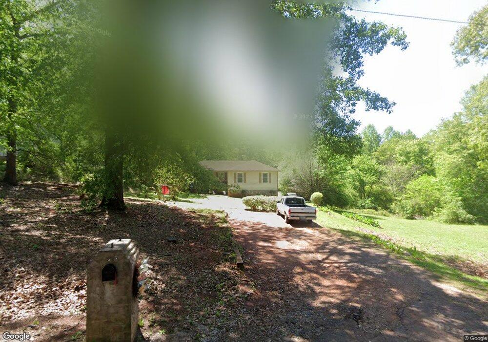
2720 Carter Loop Thomaston, GA 30286
Estimated Value: $101,000 - $192,000
3
Beds
2
Baths
1,308
Sq Ft
$113/Sq Ft
Est. Value
About This Home
This home is located at 2720 Carter Loop, Thomaston, GA 30286 and is currently estimated at $148,007, approximately $113 per square foot. 2720 Carter Loop is a home located in Upson County with nearby schools including Upson-Lee South Elementary School, Upson-Lee North Elementary School, and Upson-Lee Middle School.
Ownership History
Date
Name
Owned For
Owner Type
Purchase Details
Closed on
Aug 26, 2019
Sold by
Smith Doris King
Bought by
Smith Wesley L
Current Estimated Value
Purchase Details
Closed on
Apr 29, 2010
Sold by
Citifinancial Svcs Inc
Bought by
Smith Doris King
Home Financials for this Owner
Home Financials are based on the most recent Mortgage that was taken out on this home.
Original Mortgage
$28,000
Interest Rate
5.06%
Mortgage Type
New Conventional
Purchase Details
Closed on
Oct 6, 2009
Sold by
Smith Derek
Bought by
Citifinancial Svcs Inc
Create a Home Valuation Report for This Property
The Home Valuation Report is an in-depth analysis detailing your home's value as well as a comparison with similar homes in the area
Purchase History
| Date | Buyer | Sale Price | Title Company |
|---|---|---|---|
| Smith Wesley L | -- | -- | |
| Smith Doris King | $34,000 | -- | |
| Citifinancial Svcs Inc | $50,731 | -- |
Source: Public Records
Mortgage History
| Date | Status | Borrower | Loan Amount |
|---|---|---|---|
| Previous Owner | Citifinancial Svcs Inc | $19,742 | |
| Previous Owner | Citifinancial Svcs Inc | $28,000 |
Source: Public Records
Tax History
| Year | Tax Paid | Tax Assessment Tax Assessment Total Assessment is a certain percentage of the fair market value that is determined by local assessors to be the total taxable value of land and additions on the property. | Land | Improvement |
|---|---|---|---|---|
| 2025 | $866 | $38,936 | $1,872 | $37,064 |
| 2024 | $866 | $37,918 | $1,872 | $36,046 |
| 2023 | $864 | $26,812 | $1,872 | $24,940 |
| 2022 | $572 | $20,626 | $1,872 | $18,754 |
| 2021 | $609 | $23,112 | $1,872 | $21,240 |
| 2020 | $618 | $21,912 | $1,872 | $20,040 |
| 2019 | $523 | $26,224 | $1,904 | $24,320 |
| 2018 | $524 | $26,224 | $1,904 | $24,320 |
| 2017 | $552 | $25,360 | $1,904 | $23,456 |
| 2016 | $532 | $24,528 | $1,904 | $22,624 |
| 2015 | $532 | $24,528 | $1,904 | $22,624 |
| 2014 | $532 | $24,528 | $1,904 | $22,624 |
Source: Public Records
Map
Nearby Homes
- 2088 Wiley St
- 0 Davis Lake Rd Unit 10511531
- 1484 Zorn St
- 0 Highway 19 S Unit 24061935
- 5911 Indian Trail
- 112 Pasley St
- 276 Davis Lake Rd
- 374 Gordon School Rd
- 0 Olympia Dr Unit 10716451
- 209 Upson Ave
- 47 Mathis Lake Rd
- 75 Mathis Lake Rd
- 133 Springdale Dr
- 105 Upson Ave
- 701 S Green St
- 702 S Green St
- 801 Greenwood Rd
- 603 S Green St
- 312 Magnolia Ave
- 314 Cherokee Rd
- 1928 Chaney St
- 2719 Carter Loop
- 2882 Pickard Place
- 2692 Carter Loop
- 2701 Carter Loop
- 2750 Carter Loop
- 1303 Grantling St
- 2689 Carter Loop
- 1309 Grantling St
- 2685 Carter Loop
- 2752 Carter Loop
- 2850 Pickard Place
- 1321 Grantling St
- 2762 Carter Loop
- 2670 Carter Loop
- 2670 Carter Loop
- 1304 Grantling St
- 1308 Grantling St
- 2859 Pickard Place
- 1310 Grantling St
Your Personal Tour Guide
Ask me questions while you tour the home.