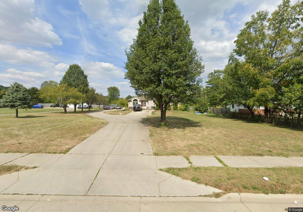
2720 Clime Rd Columbus, OH 43223
Brookshire NeighborhoodEstimated Value: $318,000 - $414,840
2
Beds
2
Baths
2,340
Sq Ft
$158/Sq Ft
Est. Value
About This Home
This home is located at 2720 Clime Rd, Columbus, OH 43223 and is currently estimated at $370,210, approximately $158 per square foot. 2720 Clime Rd is a home located in Franklin County with nearby schools including James A Harmon Elementary School, Franklin Woods Intermediate School, and Finland Middle School.
Ownership History
Date
Name
Owned For
Owner Type
Purchase Details
Closed on
Nov 19, 2014
Sold by
Ross Rickey D and Ross Kimberly K
Bought by
Metro Properties Inc
Current Estimated Value
Purchase Details
Closed on
Aug 25, 2010
Sold by
Ross Dennis R and Ross Jacalyn
Bought by
Ross Rickey D and Ross Kimberley K
Purchase Details
Closed on
Apr 20, 2007
Sold by
Ross Dennis R and Ross Jacalyn
Bought by
Franklin County Commissioners
Purchase Details
Closed on
Aug 3, 2000
Sold by
Carter Karen S and Fridley Sandra L
Bought by
Ross Dennis R and Ross Jacalyn
Home Financials for this Owner
Home Financials are based on the most recent Mortgage that was taken out on this home.
Original Mortgage
$95,900
Interest Rate
8.19%
Purchase Details
Closed on
May 21, 1974
Bought by
Fridley Esther E
Create a Home Valuation Report for This Property
The Home Valuation Report is an in-depth analysis detailing your home's value as well as a comparison with similar homes in the area
Home Values in the Area
Average Home Value in this Area
Purchase History
| Date | Buyer | Sale Price | Title Company |
|---|---|---|---|
| Metro Properties Inc | $101,000 | None Available | |
| Ross Rickey D | $85,600 | Attorney | |
| Franklin County Commissioners | $56,341 | Engineers | |
| Ross Dennis R | $119,900 | Chicago Title | |
| Fridley Esther E | -- | -- |
Source: Public Records
Mortgage History
| Date | Status | Borrower | Loan Amount |
|---|---|---|---|
| Previous Owner | Ross Dennis R | $95,900 |
Source: Public Records
Tax History Compared to Growth
Tax History
| Year | Tax Paid | Tax Assessment Tax Assessment Total Assessment is a certain percentage of the fair market value that is determined by local assessors to be the total taxable value of land and additions on the property. | Land | Improvement |
|---|---|---|---|---|
| 2024 | $6,504 | $124,740 | $46,550 | $78,190 |
| 2023 | $6,472 | $124,740 | $46,550 | $78,190 |
| 2022 | $3,957 | $52,470 | $23,700 | $28,770 |
| 2021 | $3,765 | $52,470 | $23,700 | $28,770 |
| 2020 | $3,759 | $52,470 | $23,700 | $28,770 |
| 2019 | $3,647 | $43,760 | $19,780 | $23,980 |
| 2018 | $3,972 | $43,760 | $19,780 | $23,980 |
| 2017 | $5,015 | $66,860 | $19,780 | $47,080 |
| 2016 | $4,682 | $54,750 | $11,520 | $43,230 |
| 2015 | $4,309 | $54,750 | $11,520 | $43,230 |
| 2014 | $4,208 | $54,750 | $11,520 | $43,230 |
| 2013 | $2,296 | $60,830 | $12,810 | $48,020 |
Source: Public Records
Map
Nearby Homes
- 1520 Fall Brook Rd
- 0 S Central Ave
- 2856 Chesfield Dr
- 0 Glencreek Rd
- 2894 Creith Ct
- 2987 Daisy Ln
- 2195 Big Run Ave
- 1248 Gresham Rd
- 2800 Alkire Rd
- 2547 Rosedale Ave
- 2929 Briggs Rd
- 2255 Harrisburg Pike
- 1543 Red Leaf Ln
- 1949 Big Run Bluffs Blvd
- 4745 Big Run Rd E
- 2103 Keller Place W
- 1948 Big Run Bluffs Blvd
- 2362 Woodbrook Cir N Unit 81
- 2210 October Ridge Dr
- 2336 Woodbrook Cir N Unit 92 B