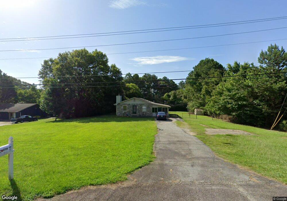
2720 Highway 92 Acworth, GA 30102
Oak Grove NeighborhoodEstimated Value: $289,606 - $322,000
3
Beds
1
Bath
1,216
Sq Ft
$251/Sq Ft
Est. Value
About This Home
This home is located at 2720 Highway 92, Acworth, GA 30102 and is currently estimated at $305,803, approximately $251 per square foot. 2720 Highway 92 is a home located in Cherokee County with nearby schools including E. T. Booth Middle School, Etowah High School, and The Link School.
Ownership History
Date
Name
Owned For
Owner Type
Purchase Details
Closed on
Dec 17, 1997
Sold by
Leslie Patricia Ann
Bought by
Gilman Janelle B and Gilman Henry J
Current Estimated Value
Home Financials for this Owner
Home Financials are based on the most recent Mortgage that was taken out on this home.
Original Mortgage
$59,200
Outstanding Balance
$9,673
Interest Rate
7.23%
Estimated Equity
$296,130
Create a Home Valuation Report for This Property
The Home Valuation Report is an in-depth analysis detailing your home's value as well as a comparison with similar homes in the area
Home Values in the Area
Average Home Value in this Area
Purchase History
| Date | Buyer | Sale Price | Title Company |
|---|---|---|---|
| Gilman Janelle B | $74,000 | -- |
Source: Public Records
Mortgage History
| Date | Status | Borrower | Loan Amount |
|---|---|---|---|
| Open | Gilman Janelle B | $59,200 |
Source: Public Records
Tax History Compared to Growth
Tax History
| Year | Tax Paid | Tax Assessment Tax Assessment Total Assessment is a certain percentage of the fair market value that is determined by local assessors to be the total taxable value of land and additions on the property. | Land | Improvement |
|---|---|---|---|---|
| 2025 | $2,366 | $90,080 | $20,000 | $70,080 |
| 2024 | $2,419 | $93,080 | $20,000 | $73,080 |
| 2023 | $2,450 | $94,280 | $20,000 | $74,280 |
| 2022 | $1,965 | $74,760 | $20,000 | $54,760 |
| 2021 | $1,608 | $56,640 | $11,200 | $45,440 |
| 2020 | $1,537 | $54,080 | $11,200 | $42,880 |
| 2019 | $1,256 | $44,200 | $9,840 | $34,360 |
| 2018 | $1,150 | $40,240 | $9,840 | $30,400 |
| 2017 | $1,147 | $99,500 | $9,840 | $29,960 |
| 2016 | $1,057 | $90,800 | $9,840 | $26,480 |
| 2015 | $993 | $84,400 | $9,840 | $23,920 |
| 2014 | $941 | $79,900 | $9,840 | $22,120 |
Source: Public Records
Map
Nearby Homes
- 3019 Westwood Dr
- 3332 Hunt Rd
- 2959 Creekstone Dr
- 2279 Highway 92
- 2936 Cheryl Ct
- 0 E Emerald Oaks Dr Unit 10591658
- 2899 Emerald Ln
- 3487 Kellogg Creek Rd
- 0 Highway 92 Unit 5623819
- 0 Highway 92 Unit 8844996
- 0 Highway 92 Unit 182 10271736
- 5496 E Emerald Ct
- 3720 James Rd
- 3290 Elwin Ragsdale Way
- 3500 Twin Pines Dr
- 3470 Hill Ln
- Bolton Plan at Cherokee Township
- Brooks Plan at Cherokee Township
- Bryson Plan at Cherokee Township
- 325 Colsen Dr
- 2742 Highway 92
- 2365 Highway 92
- 2772 Highway 92
- 3146 Highway 92
- 2792 Highway 92 Unit 2
- 2818 Highway 92
- 3374 Old Highway 92
- 3235 Plantation Rd
- 2737 Highway 92
- 2840 Highway 92
- 3243 Plantation Rd
- 2884 Highway 92
- 3259 Plantation Rd
- 3267 Plantation Rd
- 3278 Hunt Rd
- 0 Plantation Rd Unit 8923989
- 0 Plantation Rd
- 3275 Plantation Rd
- 3050 Westwood Dr
- 5889 Old Alabama Rd