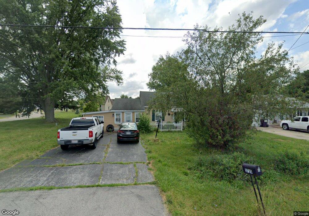
2720 Port Clinton Rd Fremont, OH 43420
Estimated Value: $122,000 - $152,000
2
Beds
1
Bath
1,128
Sq Ft
$125/Sq Ft
Est. Value
About This Home
This home is located at 2720 Port Clinton Rd, Fremont, OH 43420 and is currently estimated at $140,637, approximately $124 per square foot. 2720 Port Clinton Rd is a home located in Sandusky County with nearby schools including Fremont Ross High School, St. Ann Catholic School, and St. Joseph School.
Ownership History
Date
Name
Owned For
Owner Type
Purchase Details
Closed on
Mar 17, 2020
Sold by
Key Rentals Ltd
Bought by
Strickler Antonio J
Current Estimated Value
Home Financials for this Owner
Home Financials are based on the most recent Mortgage that was taken out on this home.
Original Mortgage
$85,405
Outstanding Balance
$59,141
Interest Rate
3.5%
Mortgage Type
New Conventional
Estimated Equity
$81,496
Purchase Details
Closed on
Nov 22, 2010
Sold by
Beck David A and Beck Linda L
Bought by
Key Rentals Ltd
Purchase Details
Closed on
Apr 26, 2006
Sold by
Florinia Royetta and Floriana Doug
Bought by
Beck David A and Beck Linda L
Purchase Details
Closed on
Feb 1, 1991
Sold by
Belcher Opal H
Bought by
Key Rentals Ltd
Create a Home Valuation Report for This Property
The Home Valuation Report is an in-depth analysis detailing your home's value as well as a comparison with similar homes in the area
Home Values in the Area
Average Home Value in this Area
Purchase History
| Date | Buyer | Sale Price | Title Company |
|---|---|---|---|
| Strickler Antonio J | $8,990 | None Available | |
| Key Rentals Ltd | -- | None Available | |
| Beck David A | -- | First American | |
| Key Rentals Ltd | -- | -- |
Source: Public Records
Mortgage History
| Date | Status | Borrower | Loan Amount |
|---|---|---|---|
| Open | Strickler Antonio J | $85,405 |
Source: Public Records
Tax History Compared to Growth
Tax History
| Year | Tax Paid | Tax Assessment Tax Assessment Total Assessment is a certain percentage of the fair market value that is determined by local assessors to be the total taxable value of land and additions on the property. | Land | Improvement |
|---|---|---|---|---|
| 2024 | $1,473 | $39,140 | $14,110 | $25,030 |
| 2023 | $1,473 | $31,290 | $11,270 | $20,020 |
| 2022 | $1,251 | $31,290 | $11,270 | $20,020 |
| 2021 | $1,291 | $31,290 | $11,270 | $20,020 |
| 2020 | $1,138 | $26,500 | $11,270 | $15,230 |
| 2019 | $1,137 | $26,500 | $11,270 | $15,230 |
| 2018 | $1,317 | $26,500 | $11,270 | $15,230 |
| 2017 | $1,082 | $25,100 | $11,270 | $13,830 |
| 2016 | $957 | $25,100 | $11,270 | $13,830 |
| 2015 | $942 | $25,100 | $11,270 | $13,830 |
| 2014 | $1,011 | $25,660 | $11,060 | $14,600 |
| 2013 | $990 | $25,660 | $11,060 | $14,600 |
Source: Public Records
Map
Nearby Homes
- 0 Sean Dr
- Outlot A Sean Dr
- 1730 Port Clinton Rd Unit 33
- 1730 Port Clinton Rd
- 1730 Port Clinton Rd Unit 41
- 2219 Oak Harbor Rd
- 711 Bloom Rd
- 2100 Ohio 53
- 1441 White Ave
- 1227 White Ave
- 900 Spring St
- 1720 North St
- 1707 North St
- 711 Rawson Ave
- 612 2nd St
- 533 Sandusky Ave Unit 535
- 927 Wolfe Ave
- 433 Sandusky Ave
- 516 N Front St
- 340 340 Sandusky Ave
- 2724 Port Clinton Rd
- 2708 Port Clinton Rd
- 2732 Port Clinton Rd
- 520 Pleasant Dr
- 519 Crestwood Ave
- 2650 Port Clinton Rd
- 2646 Port Clinton Rd
- 525 Crestwood Ave
- 2744 Port Clinton Rd
- 2638 Port Clinton Rd
- 533 Crestwood Ave
- 536 Pleasant Dr
- 42 Pleasant Dr
- 47 Pleasant Dr
- 43 Pleasant Dr
- 45 Pleasant Dr
- 60 Pleasant Dr
- 56 Pleasant Dr
- 46 Pleasant Dr
- 62 Pleasant Dr