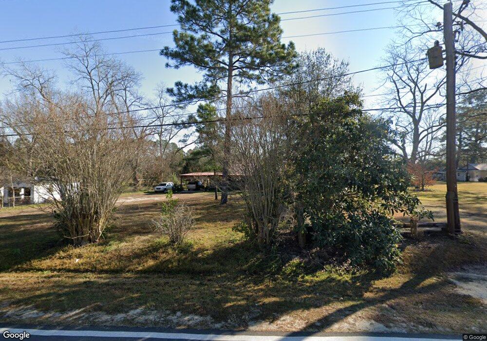
2720 Sylvester Dr Moultrie, GA 31768
Estimated Value: $49,596 - $76,000
--
Bed
1
Bath
616
Sq Ft
$101/Sq Ft
Est. Value
About This Home
This home is located at 2720 Sylvester Dr, Moultrie, GA 31768 and is currently estimated at $62,399, approximately $101 per square foot. 2720 Sylvester Dr is a home located in Colquitt County with nearby schools including Doerun Elementary School, C.A. Gray Junior High School, and Willie J. Williams Middle School.
Ownership History
Date
Name
Owned For
Owner Type
Purchase Details
Closed on
Apr 12, 2022
Sold by
Land Ruby Estate
Bought by
Land Daniel David
Current Estimated Value
Purchase Details
Closed on
Dec 30, 2021
Sold by
Boyette Shannon
Bought by
Land Daniel David
Purchase Details
Closed on
Jun 23, 2008
Sold by
Land Arthur R
Bought by
Land Arthur R
Purchase Details
Closed on
Sep 28, 2001
Sold by
Turner Ii Herbert T
Bought by
Land Arthur R
Purchase Details
Closed on
Jan 24, 2001
Sold by
Moore Gwen
Bought by
Turner Ii Herbert T
Create a Home Valuation Report for This Property
The Home Valuation Report is an in-depth analysis detailing your home's value as well as a comparison with similar homes in the area
Home Values in the Area
Average Home Value in this Area
Purchase History
| Date | Buyer | Sale Price | Title Company |
|---|---|---|---|
| Land Daniel David | $28,398 | -- | |
| Land Daniel David | $28,398 | -- | |
| Land Daniel David | $28,398 | -- | |
| Land Arthur R | -- | -- | |
| Land Arthur R | $22,000 | -- | |
| Turner Ii Herbert T | $10,000 | -- |
Source: Public Records
Tax History Compared to Growth
Tax History
| Year | Tax Paid | Tax Assessment Tax Assessment Total Assessment is a certain percentage of the fair market value that is determined by local assessors to be the total taxable value of land and additions on the property. | Land | Improvement |
|---|---|---|---|---|
| 2024 | $341 | $18,789 | $1,018 | $17,771 |
| 2023 | $396 | $15,560 | $1,018 | $14,542 |
| 2022 | $262 | $12,986 | $1,018 | $11,968 |
| 2021 | $227 | $11,359 | $1,018 | $10,341 |
| 2020 | $231 | $11,359 | $1,018 | $10,341 |
| 2019 | $252 | $11,166 | $1,018 | $10,148 |
| 2018 | $286 | $11,166 | $1,018 | $10,148 |
| 2017 | $249 | $11,166 | $1,018 | $10,148 |
| 2016 | $253 | $11,166 | $1,018 | $10,148 |
| 2015 | $255 | $11,166 | $1,018 | $10,148 |
| 2014 | -- | $11,166 | $1,018 | $10,148 |
| 2013 | -- | $11,165 | $1,018 | $10,147 |
Source: Public Records
Map
Nearby Homes
- 15,23,27 29th Ave NW
- 107 30th Ave NW
- 0 S U Highway 319 N
- 3233 Sylvester Dr
- 1208 Maple St
- 722 Martin Luther King jr Dr
- 615 1st St NW
- 316 5th Ave NW
- 503 2nd St NW
- 521 5th Ave NW
- 417 9th St NW
- 408 9th St NW
- 410 W Bypass Pass NW
- 410 West Bypass NW
- 614 2nd Ave NW
- 610 1st Ave NW
- 1321 Hallmark Dr
- 178 Cool Breeze Dr
- 310 1st Ave SW
- 00 1st Ave SW
- 2726 Sylvester Dr
- 2702 Sylvester Dr
- 15 E Bethel Ave
- 6 Sylvester Ct
- 2732 Sylvester Dr
- 8 Sylvester Ct
- 21 E Bethel Ave
- 2715 Sylvester Dr
- 2803 Sylvester Dr
- 2721 Sylvester Dr
- 2608 Sylvester Dr
- 2816 Sylvester Dr
- 27 E Bethel Ave
- 2718 1st St NW
- 2809 Sylvester Dr
- 7 Sylvester Ct
- 2615 Sylvester Dr
- 2714 1st St NW
- 8 W Bethel Ave
- 14 E Bethel Ave