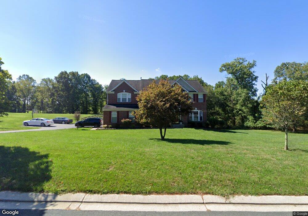
2720 Tallowtree Rd Woodstock, MD 21163
Woodstock NeighborhoodEstimated Value: $707,964 - $811,000
--
Bed
3
Baths
3,638
Sq Ft
$203/Sq Ft
Est. Value
About This Home
This home is located at 2720 Tallowtree Rd, Woodstock, MD 21163 and is currently estimated at $739,491, approximately $203 per square foot. 2720 Tallowtree Rd is a home located in Baltimore County with nearby schools including Randallstown Elementary School, Windsor Mill Middle School, and Randallstown High School.
Ownership History
Date
Name
Owned For
Owner Type
Purchase Details
Closed on
Jan 31, 2012
Sold by
Perry Theron A
Bought by
Perry Theron A and Perry Monyette D
Current Estimated Value
Home Financials for this Owner
Home Financials are based on the most recent Mortgage that was taken out on this home.
Original Mortgage
$318,750
Outstanding Balance
$218,795
Interest Rate
3.93%
Mortgage Type
New Conventional
Estimated Equity
$520,696
Purchase Details
Closed on
Jul 13, 2004
Sold by
Richmond American Homes Of
Bought by
Perry Theron A
Create a Home Valuation Report for This Property
The Home Valuation Report is an in-depth analysis detailing your home's value as well as a comparison with similar homes in the area
Home Values in the Area
Average Home Value in this Area
Purchase History
| Date | Buyer | Sale Price | Title Company |
|---|---|---|---|
| Perry Theron A | -- | None Available | |
| Perry Theron A | $469,880 | -- |
Source: Public Records
Mortgage History
| Date | Status | Borrower | Loan Amount |
|---|---|---|---|
| Open | Perry Theron A | $318,750 |
Source: Public Records
Tax History Compared to Growth
Tax History
| Year | Tax Paid | Tax Assessment Tax Assessment Total Assessment is a certain percentage of the fair market value that is determined by local assessors to be the total taxable value of land and additions on the property. | Land | Improvement |
|---|---|---|---|---|
| 2025 | $6,734 | $573,600 | -- | -- |
| 2024 | $6,734 | $553,200 | $149,700 | $403,500 |
| 2023 | $3,342 | $546,567 | $0 | $0 |
| 2022 | $6,545 | $539,933 | $0 | $0 |
| 2021 | $6,236 | $533,300 | $149,700 | $383,600 |
| 2020 | $6,236 | $521,967 | $0 | $0 |
| 2019 | $6,008 | $510,633 | $0 | $0 |
| 2018 | $5,789 | $499,300 | $149,700 | $349,600 |
| 2017 | $5,510 | $472,133 | $0 | $0 |
| 2016 | $6,524 | $444,967 | $0 | $0 |
| 2015 | $6,524 | $417,800 | $0 | $0 |
| 2014 | $6,524 | $417,800 | $0 | $0 |
Source: Public Records
Map
Nearby Homes
- 3200 Peddicoat Ct
- 9113 Dogwood Rd
- 9605 Mendoza Rd
- 10628 Saint Paul Ave
- 10719 Old Court Rd
- 3525 Cabot Rd
- 9311 Colorado Ave
- 3517 Kings Point Rd
- 3518 Orchard Shade Rd
- 3538 Corn Stream Rd
- 10645 Davis Ave
- 0 Wrights Mill Rd Unit MDBC2140880
- 3320 Offutt Rd
- 0 Old Court Rd Parcel 631
- 9804 Marriottsville Rd
- 3618 Granite Rd
- 3332 Offutt Rd
- 5713 Old Court Rd
- 10301 Marriottsville Rd
- 9302 Silver Charm Dr
- 2721 Tallowtree Rd
- 2716 Tallowtree Rd
- 2719 Tallowtree Rd
- 2801 Tallowtree Rd
- 2717 Tallowtree Rd
- 2712 Tallowtree Rd
- 2715 Tallowtree Rd
- 2807 Tallowtree Rd
- 2811 Lindin Way
- 2813 Lindin Way
- 2713 Tallowtree Rd
- 2708 Tallowtree Rd
- 2815 Lindin Way
- 2711 Tallowtree Rd
- 2810 Lindin Way
- 10003 Village Green Dr
- 2901 Tallowtree Rd
- 10001 Village Green Dr
- 10005 Village Green Dr
- 2703 Tallowtree Rd