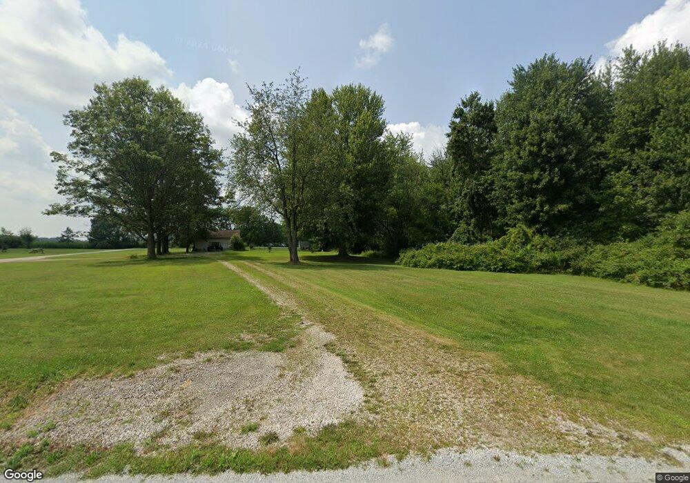
2721 Barnes Rd Centerburg, OH 43011
Estimated Value: $578,000 - $754,259
3
Beds
2
Baths
2,559
Sq Ft
$269/Sq Ft
Est. Value
About This Home
This home is located at 2721 Barnes Rd, Centerburg, OH 43011 and is currently estimated at $687,315, approximately $268 per square foot. 2721 Barnes Rd is a home located in Knox County with nearby schools including Centerburg Elementary School and Centerburg High School.
Ownership History
Date
Name
Owned For
Owner Type
Purchase Details
Closed on
Aug 7, 2025
Sold by
Bland Gerald W and Bland Amy J
Bought by
Bland Family Trust and Bland
Current Estimated Value
Purchase Details
Closed on
Aug 22, 2003
Sold by
Gaston Brian E and Gaston Candace
Bought by
Bland Gerald W and Bland Amy J
Purchase Details
Closed on
May 19, 1994
Sold by
Moore Michael R and Moore Angela
Bought by
Gaston Brian E and Gaston Candace
Purchase Details
Closed on
Sep 14, 1993
Sold by
Bowers Lowell N
Bought by
Moore Michael R and Moore Angela
Create a Home Valuation Report for This Property
The Home Valuation Report is an in-depth analysis detailing your home's value as well as a comparison with similar homes in the area
Home Values in the Area
Average Home Value in this Area
Purchase History
| Date | Buyer | Sale Price | Title Company |
|---|---|---|---|
| Bland Family Trust | -- | None Listed On Document | |
| Bland Family Trust | -- | None Listed On Document | |
| Bland Gerald W | $160,000 | -- | |
| Gaston Brian E | $74,000 | -- | |
| Moore Michael R | $54,000 | -- |
Source: Public Records
Tax History Compared to Growth
Tax History
| Year | Tax Paid | Tax Assessment Tax Assessment Total Assessment is a certain percentage of the fair market value that is determined by local assessors to be the total taxable value of land and additions on the property. | Land | Improvement |
|---|---|---|---|---|
| 2024 | $8,094 | $198,440 | $56,340 | $142,100 |
| 2023 | $8,094 | $163,800 | $56,340 | $107,460 |
| 2022 | $2,874 | $116,290 | $38,850 | $77,440 |
| 2021 | $2,874 | $59,110 | $29,450 | $29,660 |
| 2020 | $2,631 | $59,110 | $29,450 | $29,660 |
| 2019 | $2,198 | $45,370 | $23,300 | $22,070 |
| 2018 | $2,201 | $45,370 | $23,300 | $22,070 |
| 2017 | $1,981 | $45,370 | $23,300 | $22,070 |
| 2016 | $1,824 | $42,000 | $21,570 | $20,430 |
| 2015 | $1,745 | $42,000 | $21,570 | $20,430 |
| 2014 | $1,710 | $42,000 | $21,570 | $20,430 |
| 2013 | $1,753 | $40,240 | $20,910 | $19,330 |
Source: Public Records
Map
Nearby Homes
- 0 Anderson Ln Unit Lot 13 225029362
- 2191 Barnes Rd
- 357 S Hartford Ave
- 2042 Croton Rd
- 106 Union St
- 80 N Preston St
- 15228 Croton Rd
- 76 E Main St
- 24 Messmore Ave
- 4453 Cardan Ln
- 00 Ohio 314
- 436 Ohio 314
- 0 Krause Rd Unit 225038328
- 4464 Reynolds Rd
- 16971 Meredith State Rd
- 5679 White Rd
- 82 S Main St
- 9426 Bennington Chapel Rd
- 1341 Goldwell Dr
- 1309 Goldwell Dr