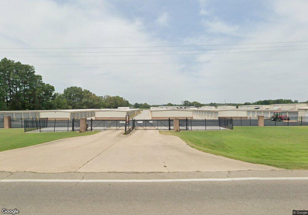
2721 E Highway 351 Ave Jonesboro, AR 72405
Estimated Value: $318,000 - $3,120,377
--
Bed
--
Bath
52,876
Sq Ft
$33/Sq Ft
Est. Value
About This Home
This home is located at 2721 E Highway 351 Ave, Jonesboro, AR 72405 and is currently estimated at $1,719,189, approximately $32 per square foot. 2721 E Highway 351 Ave is a home with nearby schools including Nettleton High School.
Ownership History
Date
Name
Owned For
Owner Type
Purchase Details
Closed on
Oct 24, 2012
Sold by
White Richard L and White Judy L
Bought by
B B S Properties Llc
Current Estimated Value
Home Financials for this Owner
Home Financials are based on the most recent Mortgage that was taken out on this home.
Original Mortgage
$29,700
Interest Rate
3.4%
Mortgage Type
New Conventional
Create a Home Valuation Report for This Property
The Home Valuation Report is an in-depth analysis detailing your home's value as well as a comparison with similar homes in the area
Home Values in the Area
Average Home Value in this Area
Purchase History
| Date | Buyer | Sale Price | Title Company |
|---|---|---|---|
| B B S Properties Llc | $33,000 | Lenders Title Company |
Source: Public Records
Mortgage History
| Date | Status | Borrower | Loan Amount |
|---|---|---|---|
| Closed | B B S Properties Llc | $29,700 |
Source: Public Records
Tax History Compared to Growth
Tax History
| Year | Tax Paid | Tax Assessment Tax Assessment Total Assessment is a certain percentage of the fair market value that is determined by local assessors to be the total taxable value of land and additions on the property. | Land | Improvement |
|---|---|---|---|---|
| 2025 | $16,560 | $351,973 | $17,777 | $334,196 |
| 2024 | $16,560 | $351,973 | $17,777 | $334,196 |
| 2023 | $10,000 | $352,093 | $17,897 | $334,196 |
| 2022 | $16,234 | $352,093 | $17,897 | $334,196 |
| 2021 | $16,307 | $361,440 | $11,650 | $349,790 |
| 2020 | $15,232 | $361,440 | $11,650 | $349,790 |
| 2019 | $14,158 | $361,440 | $11,650 | $349,790 |
| 2018 | $13,083 | $361,440 | $11,650 | $349,790 |
| 2017 | $12,008 | $361,440 | $11,650 | $349,790 |
| 2016 | $10,894 | $197,800 | $2,080 | $195,720 |
| 2015 | $9,306 | $197,800 | $2,080 | $195,720 |
| 2014 | $9,456 | $197,800 | $2,080 | $195,720 |
Source: Public Records
Map
Nearby Homes
- 3601 E Thomas Green Rd
- 0 County Road 787 Unit 10122176
- Lot 13 Woodland Point Unit CR 7300
- Lot 16A Woodland Point Unit CR 7300
- 1820 N Old Greensboro Rd
- 3012 Oakridge Dr
- 20.12 Acres Peachtree Ave
- 20 Peachtree Ave
- 430 County Road 751
- 0 Arkansas 141
- 31.5 acres Ponderosa Dr
- 3905 New Pond Hill Dr
- 35 County Road 7181
- 4515 Peachtree Ave
- 0 Lot 37 & 38 Greensboro Rd Unit 25018313
- 4205 Sage Meadows Blvd
- 3428 Hudson Dr
- 1822 Old Greensboro Rd
- 3400 Hudson Dr
- 52 County Road 7180
- 3502 E Thomas Green Rd
- 0 11 89 Acres Hwy 351
- 0 11 89 Acres Hwy 351 Unit 21006757
- 0 11 89 Acres Hwy 351 Unit 21005638
- 0 11 89 Acres Hwy 351
- 2611 Highway 351
- 3506 E Thomas Green Rd
- 2624 Old Greensboro Rd
- 3508 E Thomas Green Rd
- 2601 Old Greensboro Rd
- 2648 Old Greenboro Rd
- 3507 E Thomas Green Rd
- 1641 Arkansas 351
- 3510 E Thomas Green Rd
- 2610 Old Greensboro Rd
- 3514 E Thomas Green Rd
- 3120 Peachtree Dr
- 3605 E Thomas Green Rd
- 3518 E Thomas Green Rd
- 1642 Arkansas 351