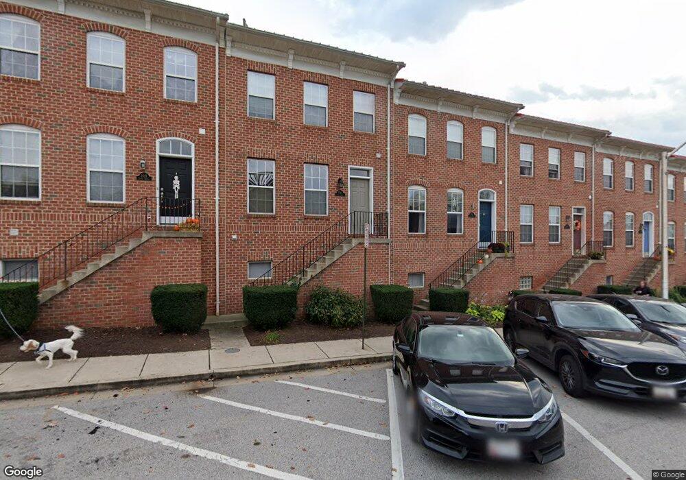
2721 Foster Ave Baltimore, MD 21224
Canton NeighborhoodEstimated Value: $502,735 - $653,000
2
Beds
4
Baths
2,020
Sq Ft
$286/Sq Ft
Est. Value
About This Home
This home is located at 2721 Foster Ave, Baltimore, MD 21224 and is currently estimated at $577,868, approximately $286 per square foot. 2721 Foster Ave is a home located in Baltimore City with nearby schools including Booker T. Washington Middle School, Paul Laurence Dunbar High School, and Patterson High School.
Ownership History
Date
Name
Owned For
Owner Type
Purchase Details
Closed on
Mar 31, 2017
Sold by
Pertman Julie S and Simpson Julie A
Bought by
Bowen John A and Bowen Farrell
Current Estimated Value
Home Financials for this Owner
Home Financials are based on the most recent Mortgage that was taken out on this home.
Original Mortgage
$328,000
Outstanding Balance
$272,945
Interest Rate
4.21%
Mortgage Type
New Conventional
Estimated Equity
$304,923
Purchase Details
Closed on
Jun 9, 2003
Sold by
2711 Foster Avenue Llc
Bought by
Simpson Julie A and Simpson Jerome L
Create a Home Valuation Report for This Property
The Home Valuation Report is an in-depth analysis detailing your home's value as well as a comparison with similar homes in the area
Home Values in the Area
Average Home Value in this Area
Purchase History
| Date | Buyer | Sale Price | Title Company |
|---|---|---|---|
| Bowen John A | $410,000 | Definitive Title Llc | |
| Simpson Julie A | $295,760 | -- |
Source: Public Records
Mortgage History
| Date | Status | Borrower | Loan Amount |
|---|---|---|---|
| Open | Bowen John A | $328,000 |
Source: Public Records
Tax History Compared to Growth
Tax History
| Year | Tax Paid | Tax Assessment Tax Assessment Total Assessment is a certain percentage of the fair market value that is determined by local assessors to be the total taxable value of land and additions on the property. | Land | Improvement |
|---|---|---|---|---|
| 2025 | $8,776 | $420,933 | -- | -- |
| 2024 | $8,776 | $410,167 | $0 | $0 |
| 2023 | $8,583 | $399,400 | $100,000 | $299,400 |
| 2022 | $8,597 | $399,400 | $100,000 | $299,400 |
| 2021 | $9,426 | $399,400 | $100,000 | $299,400 |
| 2020 | $8,178 | $405,100 | $100,000 | $305,100 |
| 2019 | $7,783 | $383,267 | $0 | $0 |
| 2018 | $7,582 | $361,433 | $0 | $0 |
| 2017 | $7,492 | $339,600 | $0 | $0 |
| 2016 | $9,102 | $334,267 | $0 | $0 |
| 2015 | $9,102 | $328,933 | $0 | $0 |
| 2014 | $9,102 | $323,600 | $0 | $0 |
Source: Public Records
Map
Nearby Homes
- 641 S Belnord Ave
- 621 S Belnord Ave
- 519 S Kenwood Ave
- 703 S Lakewood Ave
- 618 S Curley St
- 2714 Fait Ave
- 642 S Lakewood Ave
- 2708 Fait Ave
- 630 S Potomac St
- 602 S Potomac St
- 2606 Foster Ave
- 608 S Glover St
- 524 S Potomac St
- 2608 Fleet St
- 2933 Fait Ave
- 827 S Lakewood Ave
- 506 S Glover St
- 813 S Curley St
- 642 S Decker Ave
- 523 S Luzerne Ave
- 2719 Foster Ave
- 2717 Foster Ave
- 2723 Foster Ave
- 2715 Foster Ave
- 2725 Foster Ave
- 2713 Foster Ave
- 2718 Harris Ln
- 2716 Harris Ln
- 2720 Harris Ln
- 2722 Harris Ln
- 2714 Harris Ln
- 2711 Foster Ave
- 2712 Harris Ln
- 2710 Harris Ln
- 644 S Kenwood Ave
- 649 S Belnord Ave
- 647 S Belnord Ave
- 642 S Kenwood Ave
- 645 S Belnord Ave
- 640 S Kenwood Ave