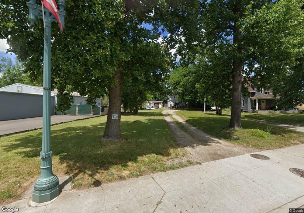
2721 Mahoning Rd NE Canton, OH 44705
Fairmount NeighborhoodEstimated Value: $103,000 - $139,487
3
Beds
1
Bath
1,352
Sq Ft
$90/Sq Ft
Est. Value
About This Home
This home is located at 2721 Mahoning Rd NE, Canton, OH 44705 and is currently estimated at $121,372, approximately $89 per square foot. 2721 Mahoning Rd NE is a home located in Stark County with nearby schools including Belle Stone Elementary School, Early Learning Center @ Schreiber, and Youtz Intermediate School.
Ownership History
Date
Name
Owned For
Owner Type
Purchase Details
Closed on
Oct 25, 2012
Sold by
Calhoun Jeffrey C
Bought by
Calhoun Jeffrey C and Postlewaite Michelle
Current Estimated Value
Purchase Details
Closed on
Mar 29, 2010
Sold by
Deutsche Bank National Trust Company
Bought by
Calhoun Jeffrey C
Purchase Details
Closed on
Jan 6, 2010
Sold by
Kennedy William A and Kennedy William Albert
Bought by
Deutsche Bank National Trust Company
Purchase Details
Closed on
Aug 10, 1998
Sold by
Hoke Betty J
Bought by
Kennedy William A and Kennedy Jayne
Home Financials for this Owner
Home Financials are based on the most recent Mortgage that was taken out on this home.
Original Mortgage
$39,502
Interest Rate
7.05%
Mortgage Type
New Conventional
Create a Home Valuation Report for This Property
The Home Valuation Report is an in-depth analysis detailing your home's value as well as a comparison with similar homes in the area
Home Values in the Area
Average Home Value in this Area
Purchase History
| Date | Buyer | Sale Price | Title Company |
|---|---|---|---|
| Calhoun Jeffrey C | -- | None Available | |
| Calhoun Jeffrey C | $15,500 | Fidelity | |
| Deutsche Bank National Trust Company | $24,000 | Attorney | |
| Kennedy William A | $19,000 | -- |
Source: Public Records
Mortgage History
| Date | Status | Borrower | Loan Amount |
|---|---|---|---|
| Previous Owner | Kennedy William A | $39,502 |
Source: Public Records
Tax History Compared to Growth
Tax History
| Year | Tax Paid | Tax Assessment Tax Assessment Total Assessment is a certain percentage of the fair market value that is determined by local assessors to be the total taxable value of land and additions on the property. | Land | Improvement |
|---|---|---|---|---|
| 2025 | $2,276 | $37,560 | $9,420 | $28,140 |
| 2024 | $701 | $37,560 | $9,420 | $28,140 |
| 2023 | $1,345 | $19,430 | $6,970 | $12,460 |
| 2022 | $1,131 | $19,430 | $6,970 | $12,460 |
| 2021 | $1,143 | $19,430 | $6,970 | $12,460 |
| 2020 | $1,007 | $15,330 | $5,810 | $9,520 |
| 2019 | $880 | $15,340 | $5,810 | $9,530 |
| 2018 | $885 | $15,340 | $5,810 | $9,530 |
| 2017 | $2,552 | $15,340 | $6,230 | $9,110 |
| 2016 | $2,880 | $15,340 | $6,230 | $9,110 |
| 2015 | $981 | $15,340 | $6,230 | $9,110 |
| 2014 | $905 | $13,300 | $6,580 | $6,720 |
| 2013 | $437 | $13,300 | $6,580 | $6,720 |
Source: Public Records
Map
Nearby Homes
- 2611 Indiana Way NE
- 2526 17th St NE
- 2715 19th St NE
- 1909 Gridley Ave NE
- 1636 Superior Ave NE
- 1742 Taft Ave NE
- 2400 Winfield Way NE
- 2323 15th St NE
- 1710 Harmont Ave NE
- 3106 22nd St NE
- 2329 Winfield Way NE
- 1821 Wallace Ave NE
- 2216 17th St NE
- 2211 17th St NE
- 1457 Edwards Ave NE
- 2310 Willowrow Ave NE
- 2314 24th St NE
- 1524 Harrisburg Rd NE
- 3421 Mahoning Rd NE
- 2220 Harrisburg Rd NE
- 2729 Mahoning Rd NE
- 2737 Mahoning Rd NE
- 2649 Mahoning Rd NE
- 2726 Mahoning Rd NE
- 2728 Mahoning Rd NE
- 2808 Mahoning Rd NE
- 2810 Mahoning Rd NE
- 2720 Mahoning Rd NE
- 2621 Indiana Way NE
- 2620 Indiana Way NE
- 2712 Mahoning Rd NE
- 2822 Mahoning Rd NE
- 2619 Indiana Way NE
- 1800 Regent Ave NE
- 1545 Eastview Ave NE
- 2615 Indiana Way NE
- 1546 Eastview Ave NE
- 2609 17th St NE
- 1547 Eastview Ave NE
- 1544 Eastview Ave NE