2722 W Shore Dr Lummi Island, WA 98262
Estimated Value: $1,047,000 - $1,251,000
2
Beds
2
Baths
2,357
Sq Ft
$490/Sq Ft
Est. Value
About This Home
This home is located at 2722 W Shore Dr, Lummi Island, WA 98262 and is currently estimated at $1,155,179, approximately $490 per square foot. 2722 W Shore Dr is a home located in Whatcom County with nearby schools including Beach Elementary School, Vista Middle School, and Ferndale High School.
Ownership History
Date
Name
Owned For
Owner Type
Purchase Details
Closed on
Aug 27, 2004
Sold by
Polinder Gerald and Polinder Shirley
Bought by
Kildall Robert M and Kildall Judy K
Current Estimated Value
Create a Home Valuation Report for This Property
The Home Valuation Report is an in-depth analysis detailing your home's value as well as a comparison with similar homes in the area
Home Values in the Area
Average Home Value in this Area
Purchase History
| Date | Buyer | Sale Price | Title Company |
|---|---|---|---|
| Kildall Robert M | -- | First American Title Insuran |
Source: Public Records
Tax History Compared to Growth
Tax History
| Year | Tax Paid | Tax Assessment Tax Assessment Total Assessment is a certain percentage of the fair market value that is determined by local assessors to be the total taxable value of land and additions on the property. | Land | Improvement |
|---|---|---|---|---|
| 2024 | $9,692 | $1,194,513 | $531,777 | $662,736 |
| 2023 | $9,692 | $1,284,401 | $571,794 | $712,607 |
| 2022 | $7,397 | $862,027 | $383,760 | $478,267 |
| 2021 | $6,570 | $749,588 | $333,704 | $415,884 |
| 2020 | $7,227 | $635,244 | $282,800 | $352,444 |
| 2019 | $6,306 | $635,244 | $282,800 | $352,444 |
| 2018 | $8,225 | $640,115 | $285,160 | $354,955 |
| 2017 | $6,725 | $640,115 | $285,160 | $354,955 |
| 2016 | $6,570 | $549,824 | $244,937 | $304,887 |
| 2015 | $6,467 | $530,815 | $236,469 | $294,346 |
| 2014 | -- | $516,559 | $230,118 | $286,441 |
| 2013 | -- | $475,215 | $211,700 | $263,515 |
Source: Public Records
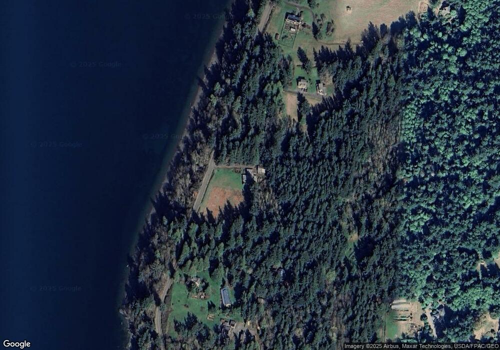
Map
Nearby Homes
- 2591 Taft Dr
- 2879 N Nugent Rd Unit H8
- 2579 W Shore Dr
- 2877 N Nugent Rd Unit M4
- 2533 Island View Ln
- 0 Taft Dr
- 2395 W Shore Dr
- 2383 W Shore Dr
- 4065 Sunny Hill Ln
- 2093 Granger Way
- 3965 Legoe Bay Rd
- 2625 Lummi View Dr
- 2589 Lummi View Dr
- 3456 Emma Rd
- 3440 Emma Rd
- 2579 Finkbonner Rd
- 2560 Lummi View Dr
- 2552 Lummi View Dr
- 3003 Haxton Way
- 16 xx S Nugent Rd
- 0 Lot 2 3 4 West Shore Dr Unit 1041138
- 2690 W Shore Dr
- 2694 W Shore Dr
- 2756 W Shore Dr
- 2686 W Shore Dr
- 4292 Matia View Dr
- 2647 Island View Ln
- 4374 Cedar Place
- 4369 Cedar Place
- 4306 Matia View Dr
- 2641 Island View Ln
- 4366 Cedar Place
- 2633 Island View Ln
- 2634 Island View Ln
- 4360 Cedar Place
- 2627 Island View Ln
- 4361 Cedar Place
- 0 Lot 6 Island View Ln Unit 499604
- 0 Lot 6 Island View Ln Unit 612367
- 4300 Matia View Dr