27221 Osborne Rd Columbia Station, OH 44028
Estimated Value: $399,473 - $609,000
4
Beds
3
Baths
2,170
Sq Ft
$218/Sq Ft
Est. Value
About This Home
This home is located at 27221 Osborne Rd, Columbia Station, OH 44028 and is currently estimated at $472,368, approximately $217 per square foot. 27221 Osborne Rd is a home located in Lorain County with nearby schools including Copopa Elementary School, Columbia Middle School, and Columbia High School.
Ownership History
Date
Name
Owned For
Owner Type
Purchase Details
Closed on
Mar 2, 1999
Sold by
Warnock Alice Lane
Bought by
Warnock Alice Lane and Cusick Mary
Current Estimated Value
Create a Home Valuation Report for This Property
The Home Valuation Report is an in-depth analysis detailing your home's value as well as a comparison with similar homes in the area
Home Values in the Area
Average Home Value in this Area
Purchase History
| Date | Buyer | Sale Price | Title Company |
|---|---|---|---|
| Warnock Alice Lane | -- | -- |
Source: Public Records
Tax History Compared to Growth
Tax History
| Year | Tax Paid | Tax Assessment Tax Assessment Total Assessment is a certain percentage of the fair market value that is determined by local assessors to be the total taxable value of land and additions on the property. | Land | Improvement |
|---|---|---|---|---|
| 2024 | $4,090 | $93,422 | $39,344 | $54,079 |
| 2023 | $5,231 | $104,542 | $43,862 | $60,680 |
| 2022 | $5,105 | $104,542 | $43,862 | $60,680 |
| 2021 | $5,156 | $104,542 | $43,862 | $60,680 |
| 2020 | $5,270 | $95,980 | $41,950 | $54,030 |
| 2019 | $5,240 | $95,980 | $41,950 | $54,030 |
| 2018 | $5,384 | $95,980 | $41,950 | $54,030 |
| 2017 | $5,484 | $92,560 | $37,350 | $55,210 |
| 2016 | $5,523 | $92,560 | $37,350 | $55,210 |
| 2015 | $5,525 | $92,560 | $37,350 | $55,210 |
| 2014 | $4,481 | $87,820 | $35,440 | $52,380 |
| 2013 | $4,481 | $87,820 | $35,440 | $52,380 |
Source: Public Records
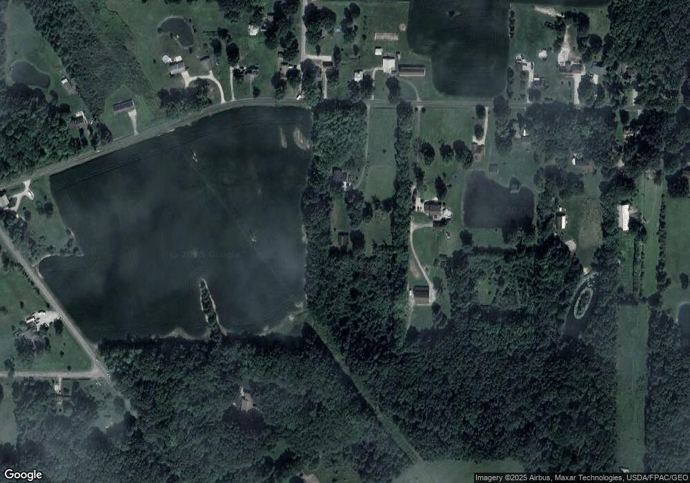
Map
Nearby Homes
- 33621 Henwell Rd
- 33700 Henwell Rd
- 33743 Henwell Rd
- 26571 Sprague Rd
- 23663 Victory Ln
- 33932 Abercorn Place
- 33964 Abercorn Place
- 9628 Kingston Trail
- 9954 Ethan Dr
- 27167 Watkin Rd
- 26271 Royalton Rd
- 2013 Viewpointe Ct
- 27056 Sprague Rd
- 10990 Reed Rd
- 8860 Sharp Rd
- 25931 Royalton Rd
- 11834 W River Rd
- 34645 Dye Rd
- 0 V L Schady Rd Unit 5163658
- 9129 Riverwood Dr
- 27145 Osborne Rd
- 27258 Osborne Rd
- 27286 Osborne Rd
- 27212 Osborne Rd
- 27212 Osborne Rd
- 27310 Osborne Rd
- 27107 Osborne Rd
- 33881 Abercorn Place
- 11287 Mitchell Rd
- 11274 Mitchell Rd
- 27083 Osborne Rd
- 27380 Osborne Rd
- 11220 Mitchell Rd
- 27398 Osborne Rd
- 27054 Osborne Rd
- 11857 Root Rd
- 27015 Osborne Rd
- 27030 Osborne Rd
- 11174 Mitchell Rd
- 27440 Osborne Rd