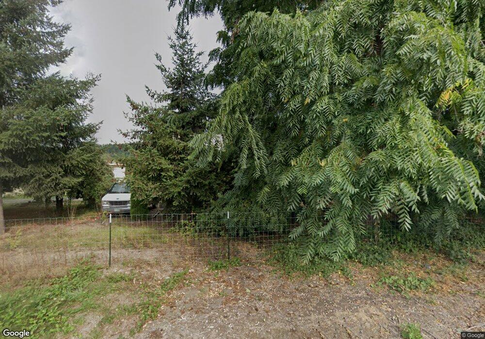
27226 S Hwy 213 Mulino, OR 97042
Estimated Value: $620,000 - $749,000
3
Beds
2
Baths
2,084
Sq Ft
$334/Sq Ft
Est. Value
About This Home
This home is located at 27226 S Hwy 213, Mulino, OR 97042 and is currently estimated at $695,812, approximately $333 per square foot. 27226 S Hwy 213 is a home located in Clackamas County.
Ownership History
Date
Name
Owned For
Owner Type
Purchase Details
Closed on
Dec 12, 2003
Sold by
Federal National Mortgage Association
Bought by
Rodgers Craig W and Rodgers Anna
Current Estimated Value
Home Financials for this Owner
Home Financials are based on the most recent Mortgage that was taken out on this home.
Original Mortgage
$136,000
Outstanding Balance
$62,699
Interest Rate
5.92%
Mortgage Type
Purchase Money Mortgage
Estimated Equity
$633,113
Purchase Details
Closed on
Jun 2, 2003
Sold by
Spencer Mills Catherine J and Spencer Mills Richard E
Bought by
Federal National Mortgage Association
Purchase Details
Closed on
Nov 22, 2000
Sold by
Jardin Stanley and Jardin Linda J
Bought by
Spencer Mills Catherine J and Spencer Mills Richard H
Home Financials for this Owner
Home Financials are based on the most recent Mortgage that was taken out on this home.
Original Mortgage
$212,900
Interest Rate
7.86%
Create a Home Valuation Report for This Property
The Home Valuation Report is an in-depth analysis detailing your home's value as well as a comparison with similar homes in the area
Home Values in the Area
Average Home Value in this Area
Purchase History
| Date | Buyer | Sale Price | Title Company |
|---|---|---|---|
| Rodgers Craig W | $170,000 | Chicago Title Insurance Comp | |
| Federal National Mortgage Association | $190,995 | Pacific Nw Title | |
| Spencer Mills Catherine J | $219,500 | Chicago Title |
Source: Public Records
Mortgage History
| Date | Status | Borrower | Loan Amount |
|---|---|---|---|
| Open | Rodgers Craig W | $136,000 | |
| Previous Owner | Spencer Mills Catherine J | $212,900 |
Source: Public Records
Tax History Compared to Growth
Tax History
| Year | Tax Paid | Tax Assessment Tax Assessment Total Assessment is a certain percentage of the fair market value that is determined by local assessors to be the total taxable value of land and additions on the property. | Land | Improvement |
|---|---|---|---|---|
| 2025 | $6,099 | $406,410 | -- | -- |
| 2024 | $5,906 | $394,573 | -- | -- |
| 2023 | $5,906 | $383,081 | $0 | $0 |
| 2022 | $4,994 | $371,924 | $0 | $0 |
| 2021 | $4,775 | $361,092 | $0 | $0 |
| 2020 | $4,643 | $350,575 | $0 | $0 |
| 2019 | $4,508 | $340,365 | $0 | $0 |
| 2018 | $4,383 | $330,451 | $0 | $0 |
| 2017 | $4,152 | $320,826 | $0 | $0 |
| 2016 | $3,910 | $311,482 | $0 | $0 |
| 2015 | $3,798 | $302,410 | $0 | $0 |
| 2014 | $3,629 | $293,602 | $0 | $0 |
Source: Public Records
Map
Nearby Homes
- 13920 S Lucia Ln
- 14001 S Union Mills Rd
- 26740 S Fish Rd
- 26250 S Milk Creek Cir
- 26684 S Fish Rd
- 13511 S Freeman Rd
- 14980 S Buckner Creek Rd
- 12051 S Riggs Damm Rd
- 15693 S Hidden Rd
- 12192 S Mulino Rd
- 12403 S Eby Rd
- 11600 S Emerson Rd
- 28381 S Salo Rd
- 16428 S Buckner Creek Rd
- 24450 S Highway 213
- 0000 S Buckner Creek Rd
- 29891 S Highway 213
- 10787 S Heinz Rd
- 15678 S Spangler Rd
- 15047 S MacKsburg Rd
- 27280 S Hwy 213
- 27226 S Highway 213
- 27280 S Highway 213
- 0 Oregon 213 Unit 294813
- 213 Oregon 213
- 0 Oregon 213 Unit 12162635
- 0 Oregon 213 Unit 13041981
- 0 Oregon 213 Unit 300 15692087
- 0 Oregon 213 Unit 300 15649620
- 0 Oregon 213 Unit Lt300 16130497
- 0 Oregon 213
- 13940 S Lucia Ln
- 13960 S Lucia Ln
- 13920 S Lucia Ln Unit 2&3
- 27281 S Highway 213
- 13947 S Lucia Ln
- 13963 S Lucia Ln
- 13933 S Lucia Ln
- 27149 S Highway 213
- 13915 S Lucia Ln
