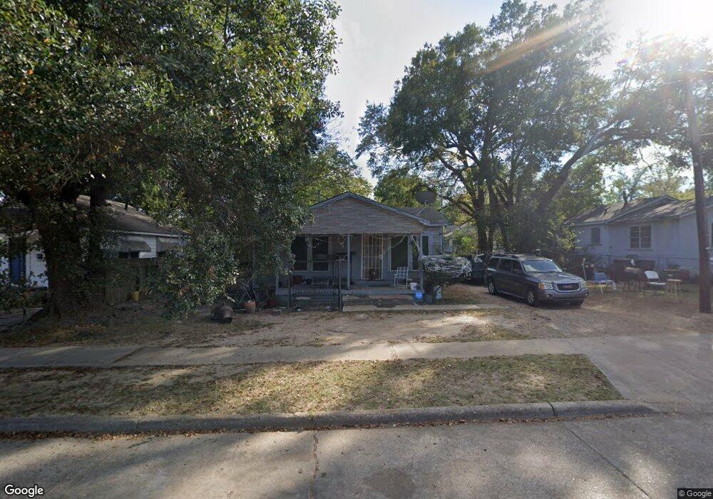
2723 Regent St Shreveport, LA 71109
Queensborough NeighborhoodEstimated Value: $35,000 - $43,000
2
Beds
1
Bath
957
Sq Ft
$40/Sq Ft
Est. Value
About This Home
This home is located at 2723 Regent St, Shreveport, LA 71109 and is currently estimated at $38,667, approximately $40 per square foot. 2723 Regent St is a home with nearby schools including Judson Fundamental Elementary School, Fairfield Magnet School, and South Highlands Elementary.
Ownership History
Date
Name
Owned For
Owner Type
Purchase Details
Closed on
Jul 17, 2019
Sold by
Moore Larry L and Moore Geraldine Cranford
Bought by
J Payne Enterprises Llc
Current Estimated Value
Home Financials for this Owner
Home Financials are based on the most recent Mortgage that was taken out on this home.
Original Mortgage
$82,437
Outstanding Balance
$72,192
Interest Rate
3.8%
Mortgage Type
New Conventional
Estimated Equity
-$33,525
Purchase Details
Closed on
Jun 2, 2006
Sold by
Langley Frank Rodney and Langley Shirley Marie
Bought by
Mooring Tax Asset Group Iii
Create a Home Valuation Report for This Property
The Home Valuation Report is an in-depth analysis detailing your home's value as well as a comparison with similar homes in the area
Home Values in the Area
Average Home Value in this Area
Purchase History
| Date | Buyer | Sale Price | Title Company |
|---|---|---|---|
| J Payne Enterprises Llc | $100,000 | Fidelity National Title | |
| Mooring Tax Asset Group Iii | $376 | None Available |
Source: Public Records
Mortgage History
| Date | Status | Borrower | Loan Amount |
|---|---|---|---|
| Open | J Payne Enterprises Llc | $82,437 |
Source: Public Records
Tax History Compared to Growth
Tax History
| Year | Tax Paid | Tax Assessment Tax Assessment Total Assessment is a certain percentage of the fair market value that is determined by local assessors to be the total taxable value of land and additions on the property. | Land | Improvement |
|---|---|---|---|---|
| 2024 | $312 | $2,000 | $521 | $1,479 |
| 2023 | $315 | $1,975 | $496 | $1,479 |
| 2022 | $315 | $1,975 | $496 | $1,479 |
| 2021 | $310 | $1,975 | $496 | $1,479 |
| 2020 | $310 | $1,975 | $496 | $1,479 |
| 2019 | $319 | $1,974 | $496 | $1,478 |
| 2018 | $254 | $1,974 | $496 | $1,478 |
| 2017 | $324 | $1,974 | $496 | $1,478 |
| 2015 | $275 | $2,120 | $500 | $1,620 |
| 2014 | $277 | $2,120 | $500 | $1,620 |
| 2013 | -- | $2,120 | $500 | $1,620 |
Source: Public Records
Map
Nearby Homes
- 2948 Desoto St
- 2918 Midway St
- 2536 Desoto St
- 2946 Midway Ave
- 3014 Desoto St
- 3019 Fulton St
- 2602 Devaughn St
- 2560 Emery St
- 3043 Regent St
- 2527 Emery St
- 2539 Merwin St
- 3055 Desoto St
- 2526 Emery St
- 3035 Midway St
- 2449 Midway St
- 3020 Drexel St
- 2646 Lindholm St
- 2446 Drexel St
- 2413 Queens Hwy
- 3049 Drexel St
- 2719 Regent St
- 2733 Regent St
- 2715 Regent St
- 4041 Velva Ave
- 4032 Velva Ave
- 2720 Desoto St
- 4050 Velva Ave
- 4058 Velva Ave
- 2815 Regent St
- 4000 Velva Ave
- 2814 Desoto St
- 4101 Hearne Ave Unit B
- 4101 Hearne Ave Unit A
- 4101 Hearne Ave
- 2825 Regent St
- 2803 Desoto St
- 2705 Desoto St
- 2807 Desoto St
- 2640 Desoto St
- 2815 Desoto St