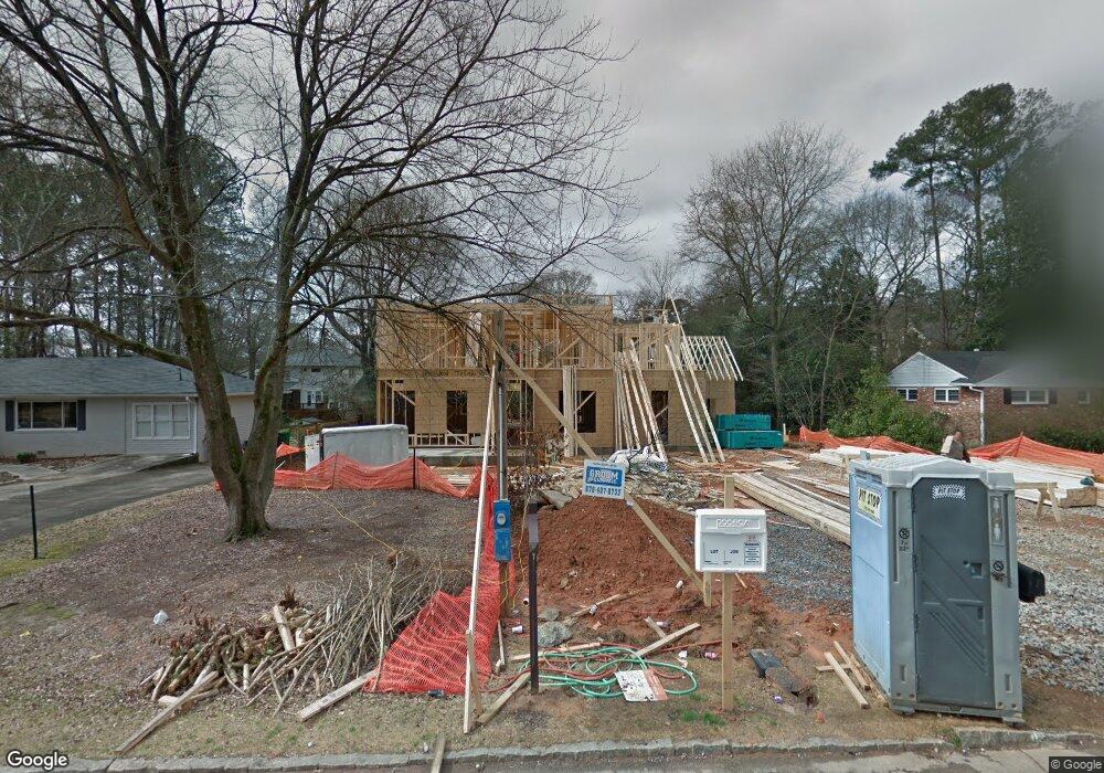
2724 Ashford Rd NE Atlanta, GA 30319
Ashford Park NeighborhoodEstimated Value: $1,854,415 - $2,129,000
5
Beds
4
Baths
5,253
Sq Ft
$378/Sq Ft
Est. Value
About This Home
This home is located at 2724 Ashford Rd NE, Atlanta, GA 30319 and is currently estimated at $1,986,472, approximately $378 per square foot. 2724 Ashford Rd NE is a home located in DeKalb County with nearby schools including Dekalb Path Academy Charter School, Chamblee Charter High School, and St Martins Episcopal School.
Ownership History
Date
Name
Owned For
Owner Type
Purchase Details
Closed on
Oct 9, 2015
Sold by
Tollison Matthew M
Bought by
Tollison Matthew M and Tollison Erin L
Current Estimated Value
Home Financials for this Owner
Home Financials are based on the most recent Mortgage that was taken out on this home.
Original Mortgage
$1,000,000
Outstanding Balance
$796,997
Interest Rate
3.94%
Mortgage Type
New Conventional
Estimated Equity
$1,189,475
Purchase Details
Closed on
Nov 27, 2007
Sold by
Tollison Audra M
Bought by
Tollison Matthew M
Purchase Details
Closed on
Dec 13, 1996
Sold by
Youtt Peter F Dena C
Bought by
Harrison Kevin B Clair L
Create a Home Valuation Report for This Property
The Home Valuation Report is an in-depth analysis detailing your home's value as well as a comparison with similar homes in the area
Home Values in the Area
Average Home Value in this Area
Purchase History
| Date | Buyer | Sale Price | Title Company |
|---|---|---|---|
| Tollison Matthew M | -- | -- | |
| Tollison Matthew M | -- | -- | |
| Harrison Kevin B Clair L | $157,900 | -- |
Source: Public Records
Mortgage History
| Date | Status | Borrower | Loan Amount |
|---|---|---|---|
| Open | Tollison Matthew M | $1,000,000 | |
| Closed | Harrison Kevin B Clair L | $0 |
Source: Public Records
Tax History Compared to Growth
Tax History
| Year | Tax Paid | Tax Assessment Tax Assessment Total Assessment is a certain percentage of the fair market value that is determined by local assessors to be the total taxable value of land and additions on the property. | Land | Improvement |
|---|---|---|---|---|
| 2025 | $18,785 | $710,000 | $180,000 | $530,000 |
| 2024 | $18,820 | $714,600 | $180,000 | $534,600 |
| 2023 | $18,820 | $673,880 | $180,000 | $493,880 |
| 2022 | $15,423 | $558,920 | $180,000 | $378,920 |
| 2021 | $13,134 | $461,400 | $180,000 | $281,400 |
| 2020 | $13,741 | $476,520 | $180,000 | $296,520 |
| 2019 | $11,797 | $398,440 | $180,000 | $218,440 |
| 2018 | $7,626 | $426,280 | $180,000 | $246,280 |
| 2017 | $9,583 | $363,520 | $180,000 | $183,520 |
| 2016 | $4,555 | $151,880 | $75,200 | $76,680 |
| 2014 | $4,481 | $144,440 | $75,200 | $69,240 |
Source: Public Records
Map
Nearby Homes
- 2690 Valvedere Dr NE
- 1575 Trentwood Place NE
- 2623 Winding Ln NE
- 2582 N Thompson Rd NE
- 1563 Dresden Dr NE
- 2741 Tryon Place NE
- 2827 Cravenridge Dr NE
- 2643 Caldwell Rd NE
- 1430 Dresden Dr NE Unit 215
- 1430 Dresden Dr NE Unit 225
- 1460 Grant Dr NE
- 2738 S Bamby Ln NE
- 1341 Oaklawn Ave NE
- 1641 Richwood Dr NE Unit 2
- Lyndon Plan at Mackintosh
- 2652 Mackintosh Ct NE
- 2656 Mackintosh Ct NE
- 2804 Skyland Dr NE
- 2730 Ashford Rd NE
- 2716 Ashford Rd NE
- 0 Ashford Rd NE Unit 7288082
- 0 Ashford Rd NE Unit 7421240
- 0 Ashford Rd NE Unit 7232015
- 0 Ashford Rd NE Unit 7241669
- 0 Ashford Rd NE Unit 7181545
- 0 Ashford Rd NE Unit 7085943
- 0 Ashford Rd NE Unit 7072397
- 0 Ashford Rd NE Unit 7074371
- 0 Ashford Rd NE Unit 7075918
- 0 Ashford Rd NE Unit 7053885
- 0 Ashford Rd NE Unit 7018722
- 0 Ashford Rd NE Unit 7002146
- 0 Ashford Rd NE Unit 3274737
- 0 Ashford Rd NE Unit 3266652
- 0 Ashford Rd NE Unit 3195889
- 0 Ashford Rd NE Unit 3154980
- 0 Ashford Rd NE Unit 3144041
- 0 Ashford Rd NE Unit 8805350