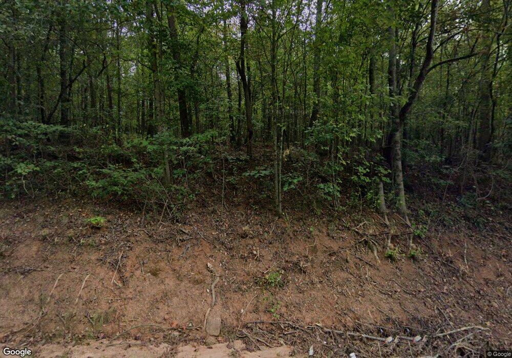
2724 Highway 254 Cleveland, GA 30528
Estimated Value: $330,000 - $486,815
1
Bed
--
Bath
621
Sq Ft
$642/Sq Ft
Est. Value
About This Home
This home is located at 2724 Highway 254, Cleveland, GA 30528 and is currently estimated at $398,454, approximately $641 per square foot. 2724 Highway 254 is a home located in White County with nearby schools including Mossy Creek Elementary School, White County 9th Grade Academy, and White County Middle School.
Ownership History
Date
Name
Owned For
Owner Type
Purchase Details
Closed on
Dec 17, 2020
Sold by
Devoge Claudia M
Bought by
Milhollin Stephen D and Milhollin Laurie Cameron
Current Estimated Value
Purchase Details
Closed on
Sep 21, 2018
Sold by
Milhollin Stephen D
Bought by
Caporale Eugene F and Caporale Treisa Diane
Purchase Details
Closed on
Sep 20, 2018
Sold by
West Keith D
Bought by
Milhollin Stephen D and Milhollin Laurie Cameron
Purchase Details
Closed on
Aug 9, 2018
Sold by
West Keith D
Bought by
Nelms Robert and Dean Jason
Purchase Details
Closed on
Mar 17, 2013
Sold by
Devoge Claudia M
Bought by
Devoge Claudia M and West Keith D
Create a Home Valuation Report for This Property
The Home Valuation Report is an in-depth analysis detailing your home's value as well as a comparison with similar homes in the area
Home Values in the Area
Average Home Value in this Area
Purchase History
| Date | Buyer | Sale Price | Title Company |
|---|---|---|---|
| Milhollin Stephen D | $258,750 | -- | |
| Milhollin Property Holdings Llc | -- | -- | |
| Milhollin Andrew | $160,745 | -- | |
| Caporale Eugene F | $3,965 | -- | |
| Milhollin Stephen D | $200,300 | -- | |
| Nelms Robert | $114,080 | -- | |
| Devoge Claudia M | -- | -- |
Source: Public Records
Tax History Compared to Growth
Tax History
| Year | Tax Paid | Tax Assessment Tax Assessment Total Assessment is a certain percentage of the fair market value that is determined by local assessors to be the total taxable value of land and additions on the property. | Land | Improvement |
|---|---|---|---|---|
| 2025 | $470 | $150,336 | $150,336 | $0 |
| 2024 | $470 | $150,336 | $150,336 | $0 |
| 2023 | $484 | $133,632 | $133,632 | $0 |
| 2022 | $476 | $116,872 | $116,872 | $0 |
| 2021 | $527 | $103,520 | $103,520 | $0 |
| 2020 | $4,486 | $159,384 | $156,240 | $3,144 |
| 2019 | $4,500 | $159,384 | $156,240 | $3,144 |
| 2018 | $6,952 | $246,244 | $243,100 | $3,144 |
| 2017 | $6,860 | $245,208 | $243,100 | $2,108 |
| 2016 | $6,861 | $245,208 | $243,100 | $2,108 |
| 2015 | $6,547 | $613,020 | $243,100 | $2,108 |
| 2014 | $6,553 | $612,430 | $0 | $0 |
Source: Public Records
Map
Nearby Homes
- 2011 Lothridge Rd
- 915 Holiness Campground Rd
- 0 Holiness Campground Rd Unit 10629188
- 201 Quail View Ridge
- 3532 New Bridge Rd
- 0 Freeman Rd Unit LOT 4
- 0 Freeman Rd Unit LOT 3 10539998
- 0 Freeman Rd Unit LOT 2 10539989
- 00 Freeman Rd
- 2459 New Bridge Rd
- 550 Highway 254
- 51 Shelter Cove Rd
- 919 Leatherford Rd
- 164 Leatherford Rd
- 0 Webster Lake Rd Unit 10621290
- 234 Mossy Creek Church Rd
- 79 Hampton Hills Ln
- 1779 New Bridge Rd
- 320 Hickory Ridge Dr
- 841 Yonah Meadow Dr
- 2724 Highway 254
- 2724 Highway 254
- 2724 Highway 254
- 2357 Highway 254
- 2770 Highway 254
- 1061 Sam Craven Rd
- 1095 Sam Craven Rd
- 937 Sam Craven Rd
- 827 Sam Craven Rd
- 915 Sam Craven Rd
- 2909 Highway 254
- 851 Sam Craven Rd
- 928 Sam Craven Rd
- 928 Sam Craven Rd Unit 2
- 2301 Highway 254
- 1700 Holiness Campground Rd
- 850 Sam Craven Rd
- 826 Sam Craven Rd
- 826 Sam Craven Rd
- 1379 Sam Craven Rd
