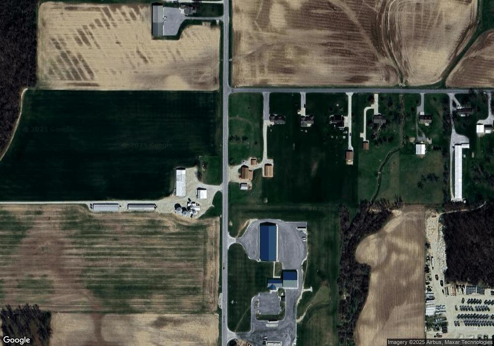
2724 State Route 49 Fort Recovery, OH 45846
Estimated Value: $31,000 - $71,883
--
Bed
--
Bath
--
Sq Ft
--
Built
About This Home
This home is located at 2724 State Route 49, Fort Recovery, OH 45846 and is currently estimated at $54,961. 2724 State Route 49 is a home located in Mercer County with nearby schools including Fort Recovery Elementary School, Fort Recovery Middle School, and Fort Recovery High School.
Ownership History
Date
Name
Owned For
Owner Type
Purchase Details
Closed on
Aug 6, 2016
Sold by
Rammel Bonnie J
Bought by
Grube Joseph K and Grube Kim M
Current Estimated Value
Purchase Details
Closed on
Oct 11, 2014
Sold by
Imel William Keith and Imel Sandra K
Bought by
Rammel Bonnie J
Purchase Details
Closed on
Nov 25, 2009
Sold by
Imel William Keith and Imel Sandra K
Bought by
Grube Joseph K and Grube Kim M
Home Financials for this Owner
Home Financials are based on the most recent Mortgage that was taken out on this home.
Original Mortgage
$17,900
Interest Rate
4.95%
Mortgage Type
Seller Take Back
Create a Home Valuation Report for This Property
The Home Valuation Report is an in-depth analysis detailing your home's value as well as a comparison with similar homes in the area
Home Values in the Area
Average Home Value in this Area
Purchase History
| Date | Buyer | Sale Price | Title Company |
|---|---|---|---|
| Grube Joseph K | $36,514 | Attorney | |
| Rammel Bonnie J | $49,000 | Attorney | |
| Grube Joseph K | $49,000 | Attorney | |
| Grube Joseph K | $35,000 | Attorney |
Source: Public Records
Mortgage History
| Date | Status | Borrower | Loan Amount |
|---|---|---|---|
| Previous Owner | Grube Joseph K | $17,900 |
Source: Public Records
Tax History Compared to Growth
Tax History
| Year | Tax Paid | Tax Assessment Tax Assessment Total Assessment is a certain percentage of the fair market value that is determined by local assessors to be the total taxable value of land and additions on the property. | Land | Improvement |
|---|---|---|---|---|
| 2024 | $168 | $5,850 | $5,850 | $0 |
| 2023 | $168 | $5,850 | $5,850 | $0 |
| 2022 | $182 | $5,670 | $5,670 | $0 |
| 2021 | $183 | $5,670 | $5,670 | $0 |
| 2020 | $183 | $5,670 | $5,670 | $0 |
| 2019 | $159 | $4,760 | $4,760 | $0 |
| 2018 | $165 | $4,760 | $4,760 | $0 |
| 2017 | $158 | $4,760 | $4,760 | $0 |
| 2016 | $178 | $5,220 | $5,220 | $0 |
| 2015 | $171 | $5,220 | $5,220 | $0 |
| 2014 | $408 | $12,290 | $12,010 | $280 |
| 2013 | $395 | $11,310 | $10,920 | $390 |
Source: Public Records
Map
Nearby Homes
- 518 Saint Joe Rd
- 578 Saint Joe Rd
- 586 Saint Joe Rd
- 592 Saint Joe Rd
- 612 Saint Joe Rd
- 638 Saint Joe Rd
- 660 Saint Joe Rd
- 440 Park Rd
- 459 Park Rd
- 406 Park Rd
- 700 Saint Joe Rd
- 441 Park Rd
- 488 Park Rd
- 378 Park Rd
- 358 Park Rd
- 724 Saint Joe Rd
- 2921 State Route 49
- 2989 State Route 49
- 194 Park Rd
- 2459 Wabash Rd