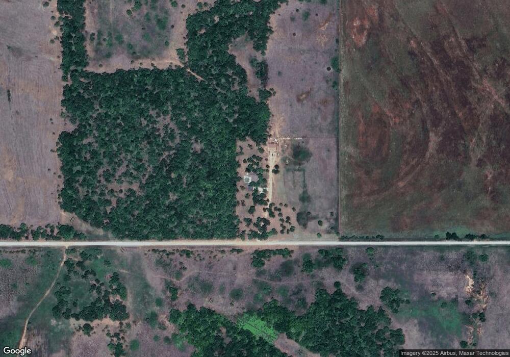
272422 E 1710 Rd Duncan, OK 73533
--
Bed
--
Bath
--
Sq Ft
6,534,000
Sq Ft Lot
About This Home
This home is located at 272422 E 1710 Rd, Duncan, OK 73533. 272422 E 1710 Rd is a home located in Stephens County with nearby schools including Mark Twain Elementary School, Duncan Middle School, and Duncan High School.
Create a Home Valuation Report for This Property
The Home Valuation Report is an in-depth analysis detailing your home's value as well as a comparison with similar homes in the area
Tax History
| Year | Tax Paid | Tax Assessment Tax Assessment Total Assessment is a certain percentage of the fair market value that is determined by local assessors to be the total taxable value of land and additions on the property. | Land | Improvement |
|---|---|---|---|---|
| 2025 | $2,652 | $28,888 | $3,654 | $25,234 |
| 2024 | $2,652 | $27,863 | $3,654 | $24,209 |
| 2023 | $2,541 | $26,698 | $3,654 | $23,044 |
| 2022 | $2,010 | $22,216 | $2,971 | $19,245 |
| 2021 | $2,018 | $21,158 | $2,736 | $18,422 |
| 2020 | $1,800 | $18,786 | $2,736 | $16,050 |
| 2019 | $1,765 | $17,892 | $2,736 | $15,156 |
| 2018 | $1,679 | $17,892 | $2,736 | $15,156 |
| 2017 | $1,639 | $17,040 | $2,736 | $14,304 |
| 2016 | $998 | $10,020 | $2,736 | $7,284 |
| 2015 | $1,051 | $10,020 | $2,736 | $7,284 |
| 2014 | $1,051 | $13,794 | $3,300 | $10,494 |
Source: Public Records
Map
Nearby Homes
- 2622 Highcrest Dr
- 602 Fieldcrest Dr
- TBD S 27th St
- 208 N 29th St
- 0 W Beech Ave
- 261 N 29th St
- 1715 S 42nd St
- 2110 W Main St
- 2150 W Main St
- 2086 N 44th St
- 209 N 22nd St
- 1377 Drexal Place
- 2006 W Oak Ave
- 4549 W Seminole Rd
- 174831 N 2844 Rd
- 2210 Western Dr
- 4705 W Seminole Rd
- 1905 W Ash Ave
- 1705 W Ash Ave
- 2002 Redbud Ave
- 617 Westside Dr
- 613 Westside Dr
- 705 Westside Dr
- 609 Westside Dr
- 609 609 Nw Westside Dr
- 709 Westside Dr
- 605 Westside Dr
- 713 Westside Dr
- 513 Westside Dr
- 618 Westside Dr
- 622 Westside Dr
- 824 Westside Dr
- 614 Westside Dr
- 610 Westside Dr
- 706 Westside Dr
- 717 Westside Dr
- 509 Westside Dr
- 606 Westside Dr
- 710 Westside Dr
- 509 509 Westside Dr
Your Personal Tour Guide
Ask me questions while you tour the home.