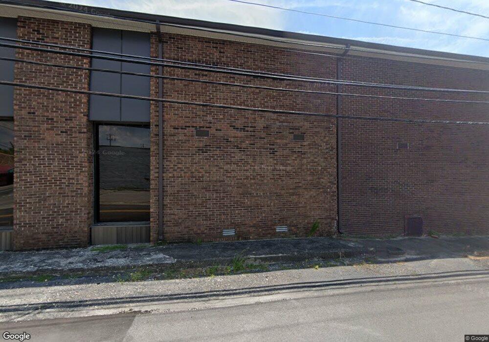
2725 Highway 34 Phil Campbell, AL 35581
Estimated Value: $145,311 - $192,000
--
Bed
--
Bath
1,660
Sq Ft
$103/Sq Ft
Est. Value
About This Home
This home is located at 2725 Highway 34, Phil Campbell, AL 35581 and is currently estimated at $170,770, approximately $102 per square foot. 2725 Highway 34 is a home.
Ownership History
Date
Name
Owned For
Owner Type
Purchase Details
Closed on
Apr 15, 2021
Sold by
Garrison Wayne and Garrison Elaine
Bought by
Scott Lorie and Southern Valerie
Current Estimated Value
Purchase Details
Closed on
Mar 18, 2019
Sold by
Taylor Morgan Dustin and Taylor Morgan
Bought by
Garrison Wayne and Garrison Elaine
Purchase Details
Closed on
Mar 5, 2019
Sold by
Morgan Jerome
Bought by
Taylor Morgan Dustin and Taylor Morgan
Purchase Details
Closed on
Aug 4, 2011
Sold by
Masteron Joey L and Masteron Teresa G
Bought by
Morgan Dustin and Morgan Jerome
Home Financials for this Owner
Home Financials are based on the most recent Mortgage that was taken out on this home.
Original Mortgage
$75,000
Interest Rate
4.62%
Mortgage Type
Future Advance Clause Open End Mortgage
Create a Home Valuation Report for This Property
The Home Valuation Report is an in-depth analysis detailing your home's value as well as a comparison with similar homes in the area
Home Values in the Area
Average Home Value in this Area
Purchase History
| Date | Buyer | Sale Price | Title Company |
|---|---|---|---|
| Scott Lorie | $106,400 | None Available | |
| Garrison Wayne | $125,000 | None Available | |
| Taylor Morgan Dustin | -- | None Available | |
| Morgan Dustin | -- | -- |
Source: Public Records
Mortgage History
| Date | Status | Borrower | Loan Amount |
|---|---|---|---|
| Previous Owner | Morgan Dustin | $75,000 |
Source: Public Records
Tax History Compared to Growth
Tax History
| Year | Tax Paid | Tax Assessment Tax Assessment Total Assessment is a certain percentage of the fair market value that is determined by local assessors to be the total taxable value of land and additions on the property. | Land | Improvement |
|---|---|---|---|---|
| 2024 | $1 | $13,380 | $1,260 | $12,120 |
| 2023 | $1 | $12,700 | $1,200 | $11,500 |
| 2022 | $1 | $11,700 | $1,100 | $10,600 |
| 2021 | $1 | $10,600 | $1,000 | $9,600 |
| 2020 | $37 | $9,600 | $1,000 | $8,600 |
| 2019 | $295 | $9,620 | $1,020 | $8,600 |
| 2018 | $285 | $9,300 | $1,000 | $8,300 |
| 2017 | $240 | $8,100 | $1,000 | $7,100 |
| 2016 | $196 | $7,700 | $1,000 | $6,700 |
| 2015 | $196 | $7,700 | $1,000 | $6,700 |
| 2014 | $196 | $7,700 | $1,000 | $6,700 |
| 2013 | $190 | $7,500 | $900 | $6,600 |
Source: Public Records
Map
Nearby Homes
- 2210 County Highway 38
- 000 Alabama 243
- 482 Shelnutt Loop
- 7331 County Highway 79
- 0 Alabama 243
- 0 Highway 81
- 12 Dover Rd
- 3000 County Highway 93
- 1190 Rail Splitter Rd
- 73 Meadow Dr
- 1537 County Road 81
- 5390 County Hwy 81
- 0 Hyde Rd Unit LotWP001 23713578
- 0 Hyde Rd
- 251 Johnson Dr
- County Road 6
- 1203 County Road 303
- 98 Acres County Road 23
- 0 Byler Rd Unit 24957013
- 2206 Highway 63
- 2093 Hwy 34
- 3083 Highway 34 Rd
- 1010 Highway 281
- 3209 Highway 34
- 9617 Highway 81 Ln
- 9281 Highway 81
- 9180 Highway 81
- 9896 Highway 81
- 34 Cox Ln
- 3321 Highway 34
- 87 Gasaway Rd
- 9442 Highway 81
- 81 Co Highway 81 Ln
- 3532 Highway 34
- 9984 Highway 81
- 1441 Highway 82
- 386 Gasaway Rd
- 82 Co Highway 82 Ln
- 3602 Highway 34
- 1285 Highway 82
