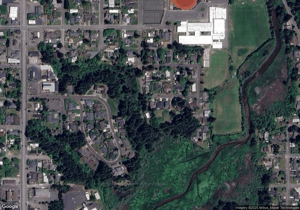
2725 Pacific St North Bend, OR 97459
Estimated Value: $269,000 - $293,348
2
Beds
1
Bath
1,018
Sq Ft
$276/Sq Ft
Est. Value
About This Home
This home is located at 2725 Pacific St, North Bend, OR 97459 and is currently estimated at $281,174, approximately $276 per square foot. 2725 Pacific St is a home located in Coos County with nearby schools including Hillcrest Elementary School, North Bend Middle School, and North Bend Senior High School.
Ownership History
Date
Name
Owned For
Owner Type
Purchase Details
Closed on
Nov 21, 2005
Sold by
Damgaard Betty
Bought by
Nordquist Ronald W I and Dougherty Karen M
Current Estimated Value
Home Financials for this Owner
Home Financials are based on the most recent Mortgage that was taken out on this home.
Original Mortgage
$107,200
Outstanding Balance
$59,702
Interest Rate
6.31%
Mortgage Type
Fannie Mae Freddie Mac
Estimated Equity
$221,472
Create a Home Valuation Report for This Property
The Home Valuation Report is an in-depth analysis detailing your home's value as well as a comparison with similar homes in the area
Home Values in the Area
Average Home Value in this Area
Purchase History
| Date | Buyer | Sale Price | Title Company |
|---|---|---|---|
| Nordquist Ronald W I | $134,000 | Fidelity National Title Co |
Source: Public Records
Mortgage History
| Date | Status | Borrower | Loan Amount |
|---|---|---|---|
| Open | Nordquist Ronald W I | $107,200 |
Source: Public Records
Tax History Compared to Growth
Tax History
| Year | Tax Paid | Tax Assessment Tax Assessment Total Assessment is a certain percentage of the fair market value that is determined by local assessors to be the total taxable value of land and additions on the property. | Land | Improvement |
|---|---|---|---|---|
| 2024 | $1,808 | $117,490 | -- | -- |
| 2023 | $1,755 | $114,070 | $0 | $0 |
| 2022 | $1,736 | $110,750 | $0 | $0 |
| 2021 | $1,778 | $107,530 | $0 | $0 |
| 2020 | $1,666 | $107,530 | $0 | $0 |
| 2019 | $1,593 | $101,360 | $0 | $0 |
| 2018 | $1,549 | $98,410 | $0 | $0 |
| 2017 | $1,505 | $95,550 | $0 | $0 |
| 2016 | $1,460 | $92,770 | $0 | $0 |
| 2015 | $1,346 | $90,070 | $0 | $0 |
| 2014 | $1,346 | $88,310 | $0 | $0 |
Source: Public Records
Map
Nearby Homes
- 2718 Alder Ridge Dr
- 2719 Alder Ridge Dr
- 2011 Ohio Ave
- 2579 Pony Creek Rd
- 2547 Pony Creek Rd
- 2460 Stephanie Ln
- 2253 Pony Creek Rd
- 2402 Stephanie Ln
- 2165 Lewis St
- 2495 Chester St
- 895 Ohio Ave
- 2279 Hamilton St
- 2238 Marion St
- 2517 Liberty St
- 3511 Scott Ct
- 2245 Broadway Ave
- 2355 Lombard St
- 00 Ash St
- 2318 Liberty St
- 2345 State St
- 1661 Ohio Ave
- 2775 Pacific St
- 1641 Ohio St
- 2685 Pacific St
- 2750 E St
- 1621 Ohio Ave
- 1650 Ohio St
- 10 Alder Ridge Dr
- 2658 E St
- 8 Alder Ridge Dr
- 2729 Alder Ridge Dr
- 2737 E St
- 2727 Alder Ridge Dr
- 2645 Pacific St
- 2733 Alder Ridge Dr Unit 3208
- 1588 Ohio St
- 2626 E St
- 1561 Ohio St
- 2725 Alder Ridge Dr
- 0 Alder Ridge Dr Unit 8052712
