2725 Spruce Creek Blvd Port Orange, FL 32128
Samsula-Spruce Creek NeighborhoodEstimated Value: $1,554,000 - $2,879,000
5
Beds
6
Baths
8,589
Sq Ft
$261/Sq Ft
Est. Value
About This Home
This home is located at 2725 Spruce Creek Blvd, Port Orange, FL 32128 and is currently estimated at $2,244,454, approximately $261 per square foot. 2725 Spruce Creek Blvd is a home located in Volusia County with nearby schools including Cypress Creek Elementary School, Creekside Middle School, and Spruce Creek High School.
Ownership History
Date
Name
Owned For
Owner Type
Purchase Details
Closed on
Mar 13, 2020
Sold by
Cheeseman Charles E and Cheeseman Charles E
Bought by
Cheeseman Charles E and The Charles E Cheeseman Jr Revocable Tru
Current Estimated Value
Purchase Details
Closed on
Jul 31, 2000
Sold by
Cheeseman Charles E and Cheeseman Debra Lee
Bought by
Cheeseman Charles E
Purchase Details
Closed on
Sep 15, 1990
Bought by
Cheeseman Charles E
Purchase Details
Closed on
Aug 15, 1990
Bought by
Cheeseman Charles E
Create a Home Valuation Report for This Property
The Home Valuation Report is an in-depth analysis detailing your home's value as well as a comparison with similar homes in the area
Home Values in the Area
Average Home Value in this Area
Purchase History
| Date | Buyer | Sale Price | Title Company |
|---|---|---|---|
| Cheeseman Charles E | -- | Attorney | |
| Cheeseman Charles E | -- | -- | |
| Cheeseman Charles E | $105,500 | -- | |
| Cheeseman Charles E | $116,000 | -- |
Source: Public Records
Tax History Compared to Growth
Tax History
| Year | Tax Paid | Tax Assessment Tax Assessment Total Assessment is a certain percentage of the fair market value that is determined by local assessors to be the total taxable value of land and additions on the property. | Land | Improvement |
|---|---|---|---|---|
| 2025 | $18,007 | $1,099,174 | -- | -- |
| 2024 | $18,007 | $1,068,197 | -- | -- |
| 2023 | $18,007 | $1,037,085 | $0 | $0 |
| 2022 | $17,843 | $1,006,879 | $0 | $0 |
| 2021 | $18,485 | $977,552 | $0 | $0 |
| 2020 | $18,236 | $964,062 | $0 | $0 |
| 2019 | $18,728 | $942,380 | $0 | $0 |
| 2018 | $18,698 | $924,809 | $0 | $0 |
| 2017 | $18,907 | $905,787 | $0 | $0 |
| 2016 | $19,709 | $887,157 | $0 | $0 |
| 2015 | $20,249 | $880,990 | $0 | $0 |
| 2014 | $20,085 | $873,998 | $0 | $0 |
Source: Public Records
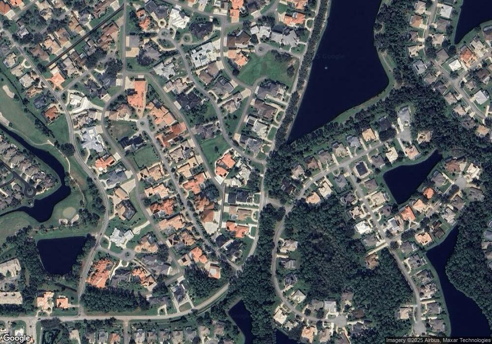
Map
Nearby Homes
- 2707 Winterford Dr
- 2916 Cypress Ridge Trail
- 1981 Rutgers Place
- 1981 Rutgers Place Unit 49
- 1991 Rutgers Place Unit 44
- 2012 Cornell Place
- 1766 Roscoe Turner Trail
- 3158 Royal Birkdale Way
- 2016 Cornell Place
- 2660 Slow Flight Dr
- 1819 Tara Marie Ln
- 6127 Sabal Point Cir
- 2672 E Spruce Creek Blvd
- 2584 E Spruce Creek Blvd
- 1888 Seclusion Dr
- 6096 Sabal Brook Way
- 1824 Tara Marie Ln
- 2633 Slow Flight Dr
- 6096 Jasmine Vine Dr
- 1889 Seclusion Dr
- 2729 Spruce Creek Blvd
- 1905 Canadair Ct
- 2721 Spruce Creek Blvd
- 2733 Spruce Creek Blvd
- 2733 Autumn Leaves Dr
- 2717 E Spruce Creek Blvd
- 2008 King Air Ct
- 2016 King Air Ct
- 2737 E Spruce Creek Blvd
- 2729 Autumn Leaves Dr Unit Lot 2
- 2729 Autumn Leaves Dr
- 2717 Spruce Creek Blvd
- 2737 Spruce Creek Blvd
- 2020 King Air Ct
- 1913 Canadair Ct
- 6417 Highfield Village Dr
- 6419 Highfield Village Dr
- 2001 King Air Ct
- 2037 King Air Ct
- 2024 King Air Ct