Estimated Value: $460,839 - $586,000
3
Beds
1
Bath
1,004
Sq Ft
$538/Sq Ft
Est. Value
About This Home
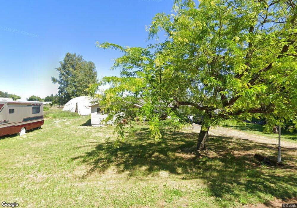
This home is located at 27250 S Dave Rd, Canby, OR 97013 and is currently estimated at $539,710, approximately $537 per square foot. 27250 S Dave Rd is a home located in Clackamas County with nearby schools including Josefa L. Sambrano Elementary School, Philander Lee Elementary School, and Baker Prairie Middle School.
Ownership History
Date
Name
Owned For
Owner Type
Purchase Details
Closed on
Jun 13, 2007
Sold by
Rode Otto M
Bought by
Pachall Heather Jeanne
Current Estimated Value
Home Financials for this Owner
Home Financials are based on the most recent Mortgage that was taken out on this home.
Original Mortgage
$232,000
Outstanding Balance
$140,196
Interest Rate
6.14%
Mortgage Type
Purchase Money Mortgage
Estimated Equity
$399,514
Create a Home Valuation Report for This Property
The Home Valuation Report is an in-depth analysis detailing your home's value as well as a comparison with similar homes in the area
Home Values in the Area
Average Home Value in this Area
Purchase History
| Date | Buyer | Sale Price | Title Company |
|---|---|---|---|
| Pachall Heather Jeanne | $290,000 | Ticor Title Insurance Compan |
Source: Public Records
Mortgage History
| Date | Status | Borrower | Loan Amount |
|---|---|---|---|
| Open | Pachall Heather Jeanne | $232,000 |
Source: Public Records
Tax History Compared to Growth
Tax History
| Year | Tax Paid | Tax Assessment Tax Assessment Total Assessment is a certain percentage of the fair market value that is determined by local assessors to be the total taxable value of land and additions on the property. | Land | Improvement |
|---|---|---|---|---|
| 2025 | $3,219 | $224,952 | -- | -- |
| 2024 | $3,130 | $218,400 | -- | -- |
| 2023 | $3,130 | $212,039 | $0 | $0 |
| 2022 | $2,862 | $205,864 | $0 | $0 |
| 2021 | $2,750 | $199,868 | $0 | $0 |
| 2020 | $2,709 | $194,047 | $0 | $0 |
| 2019 | $2,567 | $188,396 | $0 | $0 |
| 2018 | $2,514 | $182,909 | $0 | $0 |
| 2017 | $2,453 | $177,582 | $0 | $0 |
| 2016 | $2,368 | $172,410 | $0 | $0 |
| 2015 | $2,284 | $167,388 | $0 | $0 |
| 2014 | $2,218 | $162,513 | $0 | $0 |
Source: Public Records
Map
Nearby Homes
- 27200 S Barlow Rd
- 8949 S Gribble Rd
- 6939 S Zimmerman Rd
- 9750 S Gribble Rd
- 26026 S Meridian Rd
- 21022 Jennymarie Ln NE
- 20800 Yosemite St NE
- 1918 S Holly St
- 20870 Yosemite St NE
- 14713 Ottaway Rd NE
- 1900 S Holly St
- 1896 S Holly St
- 224 SW 18th Ave
- 1894 S Holly St
- The Hillmont Plan at Mark's Place at Tofte Farms
- The Tahoma Plan at Mark's Place at Tofte Farms
- The Siskiyou Plan at Mark's Place at Tofte Farms
- The Laurel Plan at Mark's Place at Tofte Farms
- The Shasta Plan at Mark's Place at Tofte Farms
- 1157 SE 18th Ave
- 27224 S Dave Rd
- 27251 S Dave Rd
- 27276 S Dave Rd
- 27225 S Dave Rd
- 27169 S Dave Rd
- 7750 S Mark Rd
- 27315 S Gribble Rd
- 7868 S Mark Rd
- 27149 S Dave Rd
- 27215 S Gribble Rd
- 7886 S Mark Rd
- 7908 S Mark Rd
- 7802 S Mark Rd
- 7780 S Mark Rd
- 7936 S Mark Rd
- 7950 S Mark Rd
- 27279 S Gribble Rd
- 7988 S Mark Rd
- 8022 S Mark Rd
- 7841 S Mark Rd