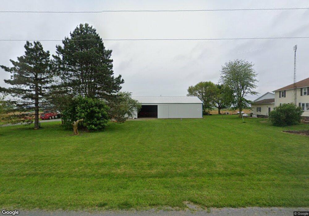
27251 Road R Delphos, OH 45833
Estimated Value: $231,000 - $396,000
4
Beds
2
Baths
1,020
Sq Ft
$307/Sq Ft
Est. Value
About This Home
This home is located at 27251 Road R, Delphos, OH 45833 and is currently estimated at $313,500, approximately $307 per square foot. 27251 Road R is a home located in Putnam County with nearby schools including Ottoville Elementary School and Ottoville High School.
Ownership History
Date
Name
Owned For
Owner Type
Purchase Details
Closed on
May 2, 2011
Sold by
Ricker George L and Ricker Patricia F
Bought by
Ricker Jeremy M and Ricker Kelly J
Current Estimated Value
Home Financials for this Owner
Home Financials are based on the most recent Mortgage that was taken out on this home.
Original Mortgage
$81,410
Outstanding Balance
$55,510
Interest Rate
4.86%
Mortgage Type
Purchase Money Mortgage
Estimated Equity
$257,990
Purchase Details
Closed on
Feb 20, 2008
Sold by
Ricker George L and Ricker Patricia F
Bought by
Ricker George L and Ricker Patricia F
Create a Home Valuation Report for This Property
The Home Valuation Report is an in-depth analysis detailing your home's value as well as a comparison with similar homes in the area
Purchase History
| Date | Buyer | Sale Price | Title Company |
|---|---|---|---|
| Ricker Jeremy M | $80,000 | None Available | |
| Ricker George L | -- | Attorney |
Source: Public Records
Mortgage History
| Date | Status | Borrower | Loan Amount |
|---|---|---|---|
| Open | Ricker Jeremy M | $81,410 |
Source: Public Records
Tax History
| Year | Tax Paid | Tax Assessment Tax Assessment Total Assessment is a certain percentage of the fair market value that is determined by local assessors to be the total taxable value of land and additions on the property. | Land | Improvement |
|---|---|---|---|---|
| 2025 | $3,123 | $97,700 | $7,700 | $90,000 |
| 2024 | $2,859 | $97,700 | $7,700 | $90,000 |
| 2023 | $3,024 | $59,190 | $5,710 | $53,480 |
| 2022 | $2,113 | $62,041 | $8,561 | $53,480 |
| 2021 | $2,260 | $60,530 | $5,710 | $54,820 |
| 2020 | $2,186 | $53,510 | $5,790 | $47,720 |
| 2019 | $2,049 | $56,970 | $6,180 | $50,790 |
| 2018 | $1,992 | $56,970 | $6,180 | $50,790 |
| 2017 | $1,894 | $56,970 | $6,180 | $50,790 |
| 2016 | $1,894 | $53,510 | $5,790 | $47,720 |
| 2015 | $1,919 | $53,960 | $5,790 | $48,170 |
| 2014 | $1,884 | $53,960 | $5,790 | $48,170 |
| 2013 | $1,985 | $53,030 | $4,860 | $48,170 |
Source: Public Records
Map
Nearby Homes
- 0 Road 28
- 19357 Church Rd
- 10429 Ohio 66
- 608 N Adams St
- 537 / 539 Toomey
- 702 N Main St
- 629 N Main St
- 409 N Bredeick St
- 709 W 4th St
- 610 N Washington St
- 628 N Pierce St
- 112 W Railroad St
- 201 E 5th St
- 1000 Colettas Way
- 821 E 3rd St
- 221 S Main St
- 424 S Canal St
- 483 S Franklin St
- 827 S Washington St
- 17089 Feasby Wisener Rd
Your Personal Tour Guide
Ask me questions while you tour the home.