27255 Kafir Rd Carl Junction, MO 64834
Estimated Value: $403,000
2
Beds
2
Baths
2,466
Sq Ft
$163/Sq Ft
Est. Value
About This Home
This home is located at 27255 Kafir Rd, Carl Junction, MO 64834 and is currently estimated at $403,000, approximately $163 per square foot. 27255 Kafir Rd is a home located in Jasper County with nearby schools including Carl Junction Primary School (K-1), Carl Junction Intermediate School, and Carl Junction Primary School (2-3).
Ownership History
Date
Name
Owned For
Owner Type
Purchase Details
Closed on
Aug 4, 2023
Sold by
James Stanley Shaw and James Rolena Jane
Bought by
James Stanley Shaw Non-Marital Deduction Trus and Crossland
Current Estimated Value
Purchase Details
Closed on
Jun 6, 2023
Sold by
Shaw James Stanley and Shaw Rolena
Bought by
Norwood Clayton T and Norwood Natalee Q
Purchase Details
Closed on
Nov 10, 2022
Sold by
Shaw James Stanley and Shaw Rolena
Bought by
Shaw James Douglas
Create a Home Valuation Report for This Property
The Home Valuation Report is an in-depth analysis detailing your home's value as well as a comparison with similar homes in the area
Home Values in the Area
Average Home Value in this Area
Purchase History
| Date | Buyer | Sale Price | Title Company |
|---|---|---|---|
| James Stanley Shaw Non-Marital Deduction Trus | -- | Title Search | |
| Norwood Clayton T | -- | None Listed On Document | |
| Shaw James Douglas | -- | -- | |
| Shaw Southern Kimberley Gay | -- | -- |
Source: Public Records
Tax History Compared to Growth
Tax History
| Year | Tax Paid | Tax Assessment Tax Assessment Total Assessment is a certain percentage of the fair market value that is determined by local assessors to be the total taxable value of land and additions on the property. | Land | Improvement |
|---|---|---|---|---|
| 2025 | $492 | $9,900 | $9,900 | -- |
| 2024 | $2,539 | $9,900 | $9,900 | -- |
| 2023 | $2,539 | $51,060 | $13,160 | $37,900 |
| 2022 | $4,712 | $94,140 | $19,270 | $74,870 |
| 2021 | $4,683 | $94,140 | $19,270 | $74,870 |
| 2020 | $4,292 | $84,850 | $19,270 | $65,580 |
| 2019 | $4,071 | $84,850 | $19,270 | $65,580 |
| 2018 | $4,046 | $84,490 | $0 | $0 |
| 2017 | $4,272 | $88,960 | $0 | $0 |
| 2016 | $4,292 | $90,200 | $0 | $0 |
| 2015 | $2,925 | $76,220 | $0 | $0 |
| 2014 | $2,925 | $62,940 | $0 | $0 |
Source: Public Records
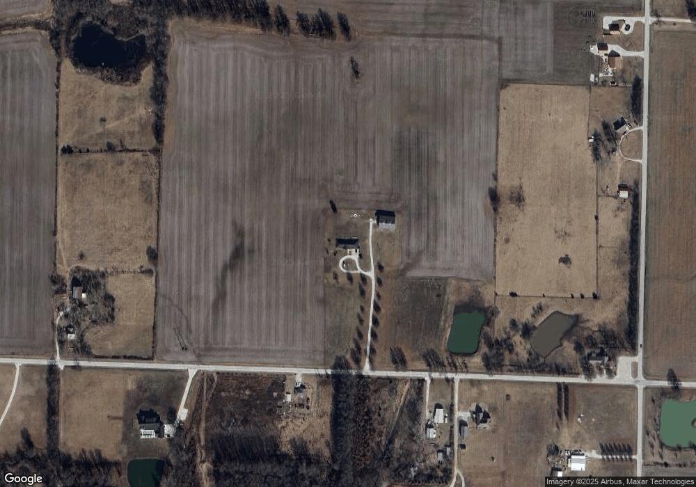
Map
Nearby Homes
- 10437 County Road 270
- 001 Locust Rd
- 003 Locust Rd
- 002 Locust Rd
- 27253 Locust Rd
- 9705 County Lane 274
- 13786 County Road 270
- 29443 Highway Yy
- Lot 4B Hwy 171 & Fir Rd
- Lot 4 Hwy 171 & Fir Rd
- Tract D1 County Road 284
- Tract D2 County Road 284
- Tract D3 County Road 284
- 29923 Ivy Rd
- 1550KP-4 Plan at Rainer Farms
- 2360 Two Story Plan at Rainer Farms
- 1714 Plan at Rainer Farms
- 2575 Plan at Rainer Farms
- 1950-4 3-Car Plan at Rainer Farms
- 1950 Plan at Rainer Farms
- 27160 Kafir Rd
- 10970 County Lane 272
- 10970 County Lane 272 Unit 1
- 10970 County Ln 272
- 27475 Kafir Rd
- 10789 County Road 270
- 11183 County Road 270
- 26800 Kafir Rd
- 26825 Kafir Rd
- 11302 County Road 270
- 10535 County Road 270
- 26699 Kafir Rd
- 11445 County Road 270
- 10525 County Road 270
- 26694 Kafir Rd
- 10524 County Road 270
- 10593 County Road 270
- 10507 County Road 270
- 27903 Kafir Rd
- 26528 Kafir Rd