2726 Carnoustie Dr Lansing, MI 48864
Estimated Value: $703,000 - $865,000
6
Beds
5
Baths
2,901
Sq Ft
$273/Sq Ft
Est. Value
About This Home
This home is located at 2726 Carnoustie Dr, Lansing, MI 48864 and is currently estimated at $791,217, approximately $272 per square foot. 2726 Carnoustie Dr is a home located in Ingham County with nearby schools including Bennett Woods Elementary School, Kinawa School, and Chippewa Middle School.
Ownership History
Date
Name
Owned For
Owner Type
Purchase Details
Closed on
May 20, 2024
Sold by
Smith Richard E and Smith Arlanda L
Bought by
Smith Richard E and Smith Arlanda L
Current Estimated Value
Purchase Details
Closed on
Dec 14, 2018
Sold by
Eastbrook Homes Inc
Bought by
Smith Richard E and Smith Arlanda L
Home Financials for this Owner
Home Financials are based on the most recent Mortgage that was taken out on this home.
Original Mortgage
$435,638
Interest Rate
4.9%
Mortgage Type
New Conventional
Purchase Details
Closed on
Mar 30, 2017
Sold by
Jones Property Development Llc
Bought by
Eastbrook Homes Inc
Create a Home Valuation Report for This Property
The Home Valuation Report is an in-depth analysis detailing your home's value as well as a comparison with similar homes in the area
Home Values in the Area
Average Home Value in this Area
Purchase History
| Date | Buyer | Sale Price | Title Company |
|---|---|---|---|
| Smith Richard E | -- | None Listed On Document | |
| Smith Richard E | $544,547 | First American Title | |
| Eastbrook Homes Inc | $261,915 | None Available |
Source: Public Records
Mortgage History
| Date | Status | Borrower | Loan Amount |
|---|---|---|---|
| Previous Owner | Smith Richard E | $435,638 |
Source: Public Records
Tax History Compared to Growth
Tax History
| Year | Tax Paid | Tax Assessment Tax Assessment Total Assessment is a certain percentage of the fair market value that is determined by local assessors to be the total taxable value of land and additions on the property. | Land | Improvement |
|---|---|---|---|---|
| 2025 | $20,841 | $394,800 | $43,500 | $351,300 |
| 2024 | $160 | $346,700 | $43,500 | $303,200 |
| 2023 | $19,523 | $327,000 | $43,500 | $283,500 |
| 2022 | $17,582 | $287,000 | $35,000 | $252,000 |
| 2021 | $17,267 | $278,800 | $35,000 | $243,800 |
| 2020 | $17,217 | $278,200 | $35,000 | $243,200 |
| 2019 | $13,686 | $277,000 | $35,000 | $242,000 |
| 2018 | $2,761 | $35,000 | $35,000 | $0 |
| 2017 | $1,914 | $35,000 | $35,000 | $0 |
| 2016 | $3,230 | $35,000 | $35,000 | $0 |
| 2015 | $3,230 | $35,000 | $0 | $0 |
| 2014 | $3,230 | $35,000 | $0 | $0 |
Source: Public Records
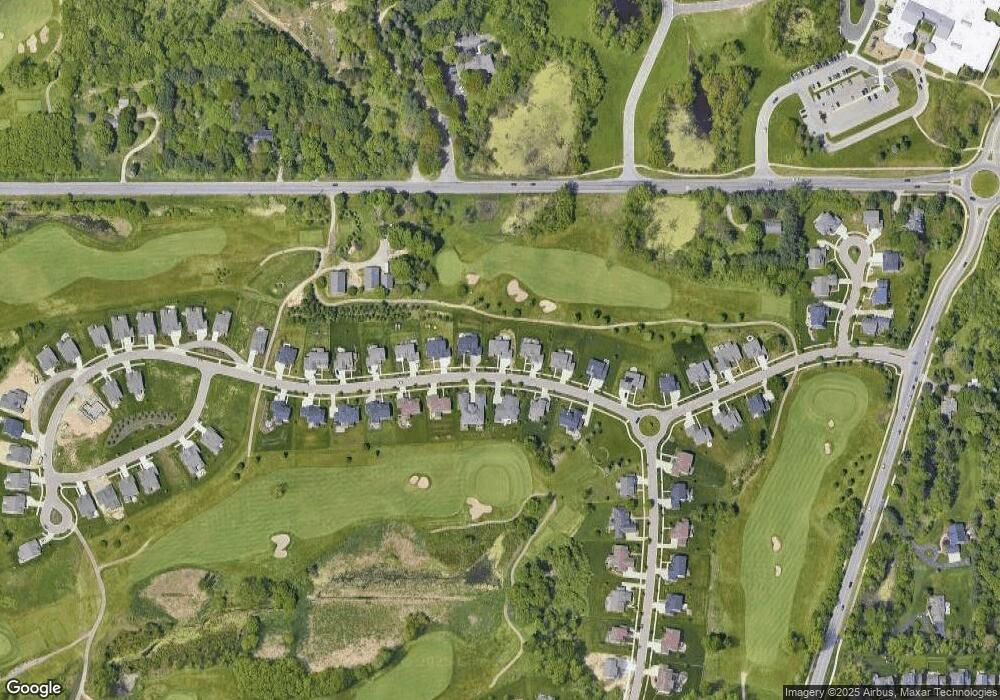
Map
Nearby Homes
- 2811 Carnoustie Dr
- 2726 Kittansett Dr
- 2452 Turning Leaf Ln
- 4051 Highland Terrace Unit 46
- 3735 Crane Cir
- 3738 Crane Cir
- 3729 Crane Cir
- 2431 Graystone Dr
- 3732 Crane Cir
- 3720 Crane Cir
- 2354 Sower Blvd
- 2302 Fieldstone Dr
- 2409 Hulett Rd
- 2184 Belding Ct
- 2926 Mount Hope Rd Unit 105
- 2561 Mount Hope Rd
- 2353 Hulett Rd
- 2150 Heritage Ave
- 2283 Hulett Rd
- 2083 Fox Hollow Dr
- 2726 Carnoustie Dr Unit 33
- 2726 Calnoustie Dr Unit 33
- 2734 Carnoustie Dr
- 2714 Carnoustie Dr
- 2742 Carnoustie Dr
- 2723 Carnoustie Dr
- 2729 Carnoustie Dr Unit 20
- 2737 Carnoustie Dr
- 2708 Carnoustie Dr
- 2750 Carnoustie Dr
- 2745 Carnoustie Dr
- 2758 Carnoustie Dr
- 2702 Carnoustie Dr
- 2751 Carnoustie Dr
- 2766 Carnoustie Dr
- 2636 Carnoustie Dr
- 2636 Carnoustie Dr Unit 38
- 2759 Carnoustie Dr