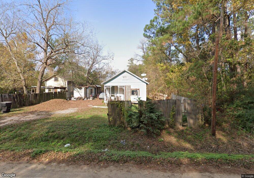
2726 Mansfield St Houston, TX 77091
Acres Homes NeighborhoodEstimated Value: $182,413 - $309,000
3
Beds
1
Bath
1,360
Sq Ft
$161/Sq Ft
Est. Value
About This Home
This home is located at 2726 Mansfield St, Houston, TX 77091 and is currently estimated at $218,603, approximately $160 per square foot. 2726 Mansfield St is a home located in Harris County with nearby schools including Edward a Vines EC/Pre-K/K School, Harris Elementary School, and Hoffman Middle School.
Ownership History
Date
Name
Owned For
Owner Type
Purchase Details
Closed on
Mar 7, 2008
Sold by
Castillo Nora and Perez Felipe
Bought by
Padilla Maria Zita and Elias Miguel Angel
Current Estimated Value
Home Financials for this Owner
Home Financials are based on the most recent Mortgage that was taken out on this home.
Original Mortgage
$26,000
Interest Rate
5.47%
Mortgage Type
Seller Take Back
Create a Home Valuation Report for This Property
The Home Valuation Report is an in-depth analysis detailing your home's value as well as a comparison with similar homes in the area
Home Values in the Area
Average Home Value in this Area
Purchase History
| Date | Buyer | Sale Price | Title Company |
|---|---|---|---|
| Padilla Maria Zita | -- | Texas American Title Company |
Source: Public Records
Mortgage History
| Date | Status | Borrower | Loan Amount |
|---|---|---|---|
| Closed | Padilla Maria Zita | $26,000 |
Source: Public Records
Tax History Compared to Growth
Tax History
| Year | Tax Paid | Tax Assessment Tax Assessment Total Assessment is a certain percentage of the fair market value that is determined by local assessors to be the total taxable value of land and additions on the property. | Land | Improvement |
|---|---|---|---|---|
| 2025 | $3,966 | $182,096 | $80,651 | $101,445 |
| 2024 | $3,966 | $174,737 | $80,651 | $94,086 |
| 2023 | $3,966 | $169,337 | $74,785 | $94,552 |
| 2022 | $2,769 | $115,438 | $55,867 | $59,571 |
| 2021 | $2,491 | $99,158 | $44,694 | $54,464 |
| 2020 | $2,112 | $80,004 | $27,934 | $52,070 |
| 2019 | $1,811 | $65,437 | $27,934 | $37,503 |
| 2018 | $779 | $54,282 | $18,995 | $35,287 |
| 2017 | $1,440 | $54,282 | $18,995 | $35,287 |
| 2016 | $1,244 | $46,911 | $16,760 | $30,151 |
| 2015 | $705 | $46,911 | $16,760 | $30,151 |
| 2014 | $705 | $26,478 | $10,615 | $15,863 |
Source: Public Records
Map
Nearby Homes
- 0 Rollins St
- 2631 Mansfield St
- 5923 Easter St
- 2100 De Soto St
- 1 De Soto St
- 1933 De Soto St
- 2732 De Soto St
- 5823 Outer Banks St
- 5819 Outer Banks St
- 5815 Outer Banks St
- 5811 Outer Banks St
- 2632 Paul Quinn
- 6217 Nuben St
- 6210 Rolland St
- 6004 Balbo St
- 6216 Carver Rd
- 2519 Garapan St
- 2507 Garapan St
- 2511 Garapan St
- 3216 Mansfield St Unit 5903
- 2726 Mansfield St
- 0 Mansfield Rd Unit 2391045
- 0 Mansfield Rd Unit 34422294
- 0 Mansfield Rd Unit 75036704
- 0 Mansfield Rd Unit 46444345
- 0 Mansfield Rd Unit 3956234
- 0 Mansfield Rd Unit 5175500
- 0 Mansfield Rd Unit 12015855
- 2802 Mansfield St
- 2702 Mansfield St
- 2729 Mansfield St
- 0 N Mansfield Rd Unit 75761747
- 2806 Mansfield St
- 2806 Mansfield St Unit 5
- 2701 Mansfield St
- 2830 Mansfield St
- 2700 Mansfield Rd
- 2808 1/2 Mansfield St
- 2810 Mansfield St
- 2811 Mansfield St