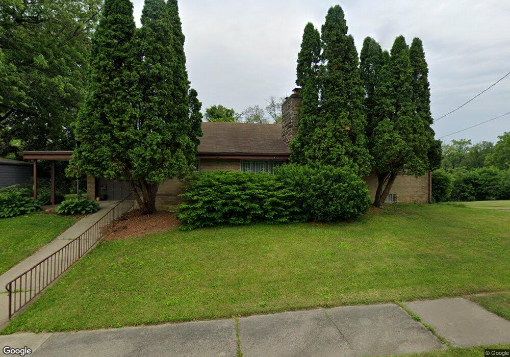
2727 Coventry Ct Flint, MI 48503
Glendale NeighborhoodEstimated Value: $65,000 - $125,771
3
Beds
1
Bath
1,293
Sq Ft
$77/Sq Ft
Est. Value
About This Home
This home is located at 2727 Coventry Ct, Flint, MI 48503 and is currently estimated at $98,943, approximately $76 per square foot. 2727 Coventry Ct is a home located in Genesee County with nearby schools including Durant-Tuuri-Mott Elementary School, St. Paul Lutheran School, and St John Vianney Catholic School.
Ownership History
Date
Name
Owned For
Owner Type
Purchase Details
Closed on
Jun 23, 2005
Sold by
The Claude A & Opal B Harty Revocable Jo
Bought by
Edwards Mark A and Edwards Kim M
Current Estimated Value
Create a Home Valuation Report for This Property
The Home Valuation Report is an in-depth analysis detailing your home's value as well as a comparison with similar homes in the area
Home Values in the Area
Average Home Value in this Area
Purchase History
| Date | Buyer | Sale Price | Title Company |
|---|---|---|---|
| Edwards Mark A | $92,900 | Sargents Title Company |
Source: Public Records
Tax History
| Year | Tax Paid | Tax Assessment Tax Assessment Total Assessment is a certain percentage of the fair market value that is determined by local assessors to be the total taxable value of land and additions on the property. | Land | Improvement |
|---|---|---|---|---|
| 2025 | $1,864 | $62,000 | $0 | $0 |
| 2024 | $1,658 | $50,400 | $0 | $0 |
| 2023 | $1,611 | $41,100 | $0 | $0 |
| 2022 | $0 | $37,900 | $0 | $0 |
| 2021 | $1,695 | $32,700 | $0 | $0 |
| 2020 | $1,498 | $34,100 | $0 | $0 |
| 2019 | $1,440 | $25,500 | $0 | $0 |
| 2018 | $1,636 | $28,200 | $0 | $0 |
| 2017 | $1,581 | $0 | $0 | $0 |
| 2016 | $1,569 | $0 | $0 | $0 |
| 2015 | -- | $0 | $0 | $0 |
| 2014 | -- | $0 | $0 | $0 |
| 2012 | -- | $32,300 | $0 | $0 |
Source: Public Records
Map
Nearby Homes
- 2663 W Court St
- 932 Bradley Ave
- 911 Hughes Ave
- 3405 Sherwood Dr
- 3320 Pencombe Place
- 320 Sheffield Ave
- 314 Sheffield Ave
- 3302 Van Buren Ave
- 3517 Norwood Dr
- 916 Mann Ave
- 2464 Gibson St
- 2437 Zimmerman St
- 2805 Reynolds St
- 3617 Sherwood Dr
- 960 Mann Ave
- 0000 Beecher Rd
- 1017 Stocker Ave
- 3709 Brentwood Dr
- 2509 Corunna Rd
- 1114 Clancy Ave
- 2721 Coventry Ct
- 2718 Mansfield Ave
- 2722 Mansfield Ave
- 2714 Mansfield Ave
- 2730 Coventry Ct
- 2715 Coventry Ct
- 3117 Brentwood Dr
- 3202 Brentwood Dr
- 2722 Coventry Ct
- 3201 Brentwood Dr
- 2718 Coventry Ct
- 3109 Brentwood Dr
- 2702 Mansfield Ave
- 3110 Norwood Dr
- 3116 Norwood Dr
- 3205 Brentwood Dr
- 3212 Brentwood Dr
- 2707 Coventry Ct
- 2714 Coventry Ct
- 3120 Norwood Dr
Your Personal Tour Guide
Ask me questions while you tour the home.