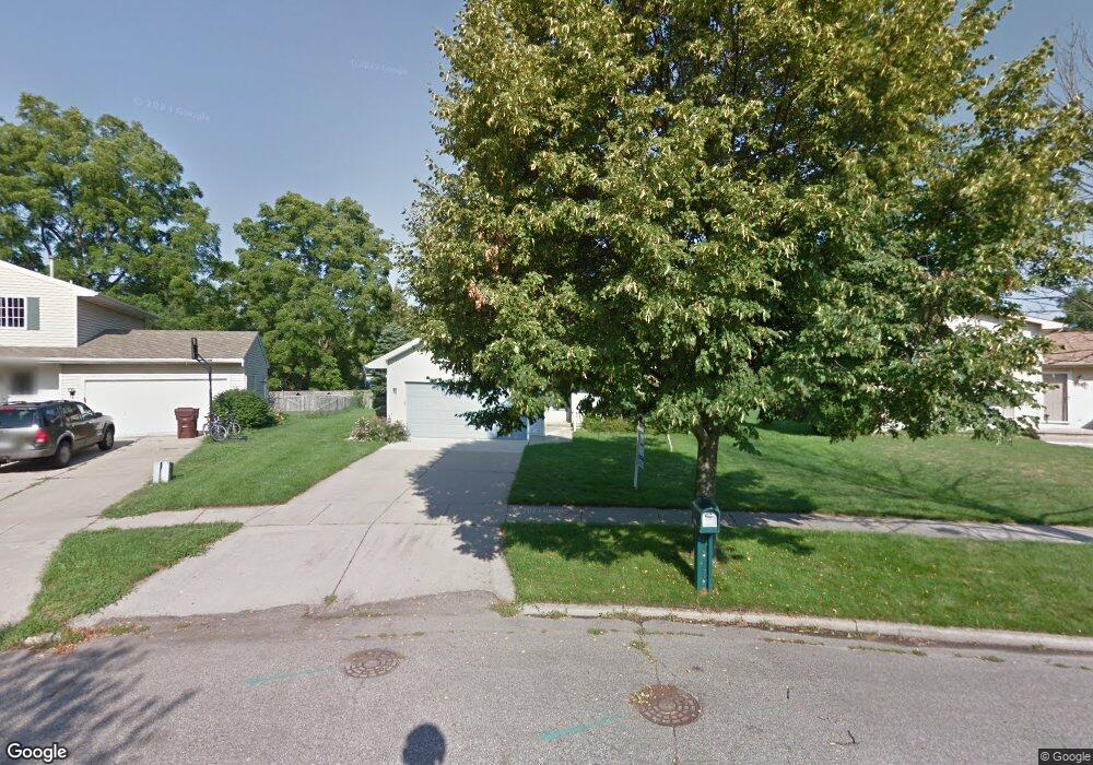
2727 Gatsby Ct Lansing, MI 48906
Northwestside NeighborhoodEstimated Value: $241,494 - $295,000
3
Beds
2
Baths
1,400
Sq Ft
$188/Sq Ft
Est. Value
About This Home
This home is located at 2727 Gatsby Ct, Lansing, MI 48906 and is currently estimated at $263,624, approximately $188 per square foot. 2727 Gatsby Ct is a home located in Ingham County with nearby schools including Cumberland Elementary School, Pattengill Academy, and J.W. Sexton High School.
Ownership History
Date
Name
Owned For
Owner Type
Purchase Details
Closed on
Nov 17, 2011
Sold by
Thelen Therese M and Thelen Raymond W
Bought by
Wriska Charles D and Wriska Lisa A
Current Estimated Value
Home Financials for this Owner
Home Financials are based on the most recent Mortgage that was taken out on this home.
Original Mortgage
$109,250
Outstanding Balance
$74,318
Interest Rate
3.97%
Mortgage Type
New Conventional
Estimated Equity
$189,306
Create a Home Valuation Report for This Property
The Home Valuation Report is an in-depth analysis detailing your home's value as well as a comparison with similar homes in the area
Home Values in the Area
Average Home Value in this Area
Purchase History
| Date | Buyer | Sale Price | Title Company |
|---|---|---|---|
| Wriska Charles D | $115,000 | Tri County Title Agency Llc |
Source: Public Records
Mortgage History
| Date | Status | Borrower | Loan Amount |
|---|---|---|---|
| Open | Wriska Charles D | $109,250 |
Source: Public Records
Tax History Compared to Growth
Tax History
| Year | Tax Paid | Tax Assessment Tax Assessment Total Assessment is a certain percentage of the fair market value that is determined by local assessors to be the total taxable value of land and additions on the property. | Land | Improvement |
|---|---|---|---|---|
| 2025 | $6,046 | $113,400 | $16,700 | $96,700 |
| 2024 | $51 | $114,300 | $16,700 | $97,600 |
| 2023 | $5,685 | $100,400 | $16,700 | $83,700 |
| 2022 | $4,964 | $80,200 | $12,400 | $67,800 |
| 2021 | $4,848 | $79,700 | $10,500 | $69,200 |
| 2020 | $4,815 | $80,600 | $10,500 | $70,100 |
| 2019 | $4,659 | $75,600 | $10,500 | $65,100 |
| 2018 | $4,412 | $70,200 | $10,500 | $59,700 |
| 2017 | $4,249 | $70,200 | $10,500 | $59,700 |
| 2016 | $4,080 | $60,700 | $10,500 | $50,200 |
| 2015 | $4,080 | $57,800 | $20,933 | $36,867 |
| 2014 | $4,080 | $55,400 | $25,120 | $30,280 |
Source: Public Records
Map
Nearby Homes
- 2519 Byrnes Rd
- 2400 Leon Ave
- 4221 N Grand River Ave
- 2300 Byrnes Rd
- 2524 Newport Dr
- 4005 N Grand River Ave
- 2316 Barstow Rd
- 2601 Newport Dr
- 2206 Kuerbitz Dr
- 2123 Cogswell Dr
- 3500 Colchester Rd
- 2220 Delta River Dr
- 3230 Sheffer Ave
- 2241 Cumberland Rd
- 2111 Delta River Dr
- 3733 Colchester Rd
- 1900 Kaplan St
- 5250 N Grand River Ave
- 1805 Boynton Dr
- 3021 N Grand River Ave
- 2721 Gatsby Ct
- 2801 Gatsby Ct
- 2808 Northwest Ave
- 2715 Gatsby Ct
- 2716 Northwest Ave
- 2807 Gatsby Ct
- 2812 Northwest Ave
- 2800 Northwest Ave
- 2810 Gatsby Ct
- 2707 Gatsby Ct
- 3005 Lafayette Ave
- 2923 Lafayette Ave
- 2817 Gatsby Ct
- 3009 Lafayette Ave
- 2710 Northwest Ave
- 2919 Lafayette Ave
- 2820 Gatsby Ct
- 2712 Gatsby Ct
- 2913 Lafayette Ave