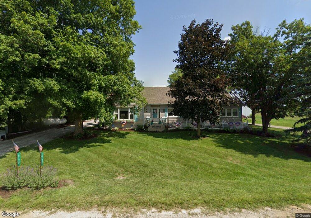
2728 Lawrence Hwy Charlotte, MI 48813
Estimated Value: $250,000 - $330,000
3
Beds
1
Bath
2,232
Sq Ft
$134/Sq Ft
Est. Value
About This Home
This home is located at 2728 Lawrence Hwy, Charlotte, MI 48813 and is currently estimated at $299,539, approximately $134 per square foot. 2728 Lawrence Hwy is a home with nearby schools including Washington Elementary School, Charlotte Upper Elementary School, and Charlotte Middle School.
Ownership History
Date
Name
Owned For
Owner Type
Purchase Details
Closed on
Aug 15, 2017
Sold by
The Bruce F Griffith & Janet L Griffifth
Bought by
Golding Sherrie and Golding Shad
Current Estimated Value
Home Financials for this Owner
Home Financials are based on the most recent Mortgage that was taken out on this home.
Original Mortgage
$116,850
Outstanding Balance
$97,502
Interest Rate
3.96%
Mortgage Type
New Conventional
Estimated Equity
$202,037
Purchase Details
Closed on
Jun 25, 2013
Sold by
Griffith Bruce F
Bought by
Griffith Bruce F and Griffith Janet L
Create a Home Valuation Report for This Property
The Home Valuation Report is an in-depth analysis detailing your home's value as well as a comparison with similar homes in the area
Home Values in the Area
Average Home Value in this Area
Purchase History
| Date | Buyer | Sale Price | Title Company |
|---|---|---|---|
| Golding Sherrie | $123,000 | None Available | |
| Griffith Bruce F | -- | None Available |
Source: Public Records
Mortgage History
| Date | Status | Borrower | Loan Amount |
|---|---|---|---|
| Open | Golding Sherrie | $116,850 |
Source: Public Records
Tax History Compared to Growth
Tax History
| Year | Tax Paid | Tax Assessment Tax Assessment Total Assessment is a certain percentage of the fair market value that is determined by local assessors to be the total taxable value of land and additions on the property. | Land | Improvement |
|---|---|---|---|---|
| 2025 | $3,324 | $150,960 | $0 | $0 |
| 2024 | $1,218 | $141,880 | $0 | $0 |
| 2023 | $1,160 | $120,120 | $0 | $0 |
| 2022 | $2,927 | $114,000 | $0 | $0 |
| 2021 | $2,838 | $108,960 | $0 | $0 |
| 2020 | $2,742 | $102,600 | $0 | $0 |
| 2019 | $2,526 | $89,300 | $0 | $0 |
| 2018 | $2,167 | $73,273 | $0 | $0 |
Source: Public Records
Map
Nearby Homes
- 1272 W Lawrence Hwy
- 525 N Wheaton Rd
- Vl Montels Parcel D Way
- 0 Montels Parcel H Way
- 827 Walnut St
- 674 Beech Hwy
- 4755 Carlisle Hwy
- 738 W Shepherd St
- 717 High St
- 2402 N Stine Rd
- Vl W Kinsel Hwy
- 854 S Ainger Rd
- 922 High St
- 113 S Clinton St
- 308 S Sheldon St
- 206 W Harris St
- 315 W Henry St
- 509 W 3rd St
- 0 Pinebluff Dr Parcel O Unit 258041
- 138 Canterbury Dr
- 2833 Lawrence Hwy
- 2833 Lawrence Hwy
- 2908 Lawrence Hwy
- 2582 Lawrence Hwy
- 2911 Lawrence Hwy
- 2562 Lawrence Hwy
- 2559 Lawrence Hwy
- 2546 Lawrence Hwy
- 51 S Stine Rd
- 2950 Lawrence Hwy
- 2945 Lawrence Hwy
- 2945 W Lawrence Hwy
- 149 S Stine Rd
- 2528 Lawrence Hwy
- 40 S Stine Rd
- 59 N Stine Rd
- 115 N Stine Rd
- 89 N Stine Rd
- 125 N Stine Rd