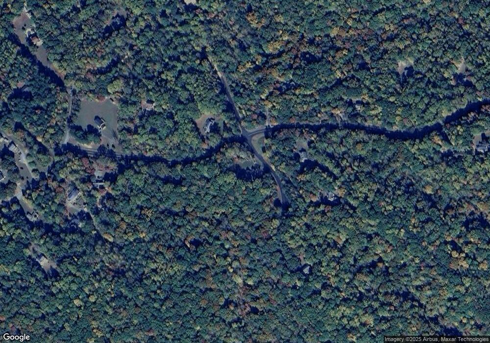
27281 Porter Dr Mechanicsville, MD 20659
Estimated Value: $596,969 - $664,000
--
Bed
1
Bath
2,693
Sq Ft
$236/Sq Ft
Est. Value
About This Home
This home is located at 27281 Porter Dr, Mechanicsville, MD 20659 and is currently estimated at $635,242, approximately $235 per square foot. 27281 Porter Dr is a home with nearby schools including Oakville Elementary School, Leonardtown Middle School, and Chopticon High School.
Ownership History
Date
Name
Owned For
Owner Type
Purchase Details
Closed on
Aug 5, 2020
Sold by
Moffatt Ronald E and Hoback Kristin L
Bought by
Russell Christopher W and Russell Megan M
Current Estimated Value
Home Financials for this Owner
Home Financials are based on the most recent Mortgage that was taken out on this home.
Original Mortgage
$64,000
Outstanding Balance
$56,877
Interest Rate
3.1%
Mortgage Type
New Conventional
Estimated Equity
$578,365
Purchase Details
Closed on
Jun 12, 1986
Sold by
St Marys Land Dev Corp
Bought by
Moffatt Ronald E and Moffatt Charlotte S
Create a Home Valuation Report for This Property
The Home Valuation Report is an in-depth analysis detailing your home's value as well as a comparison with similar homes in the area
Home Values in the Area
Average Home Value in this Area
Purchase History
| Date | Buyer | Sale Price | Title Company |
|---|---|---|---|
| Russell Christopher W | $80,000 | Park Place T&E Llc | |
| Moffatt Ronald E | $21,500 | -- |
Source: Public Records
Mortgage History
| Date | Status | Borrower | Loan Amount |
|---|---|---|---|
| Open | Russell Christopher W | $64,000 |
Source: Public Records
Tax History Compared to Growth
Tax History
| Year | Tax Paid | Tax Assessment Tax Assessment Total Assessment is a certain percentage of the fair market value that is determined by local assessors to be the total taxable value of land and additions on the property. | Land | Improvement |
|---|---|---|---|---|
| 2025 | $5,358 | $538,400 | $125,100 | $413,300 |
| 2024 | $5,358 | $507,667 | $0 | $0 |
| 2023 | $5,186 | $476,933 | $0 | $0 |
| 2022 | $4,807 | $446,200 | $125,100 | $321,100 |
| 2021 | $0 | $98,433 | $0 | $0 |
| 2020 | $991 | $96,767 | $0 | $0 |
| 2019 | $936 | $95,100 | $95,100 | $0 |
| 2018 | $991 | $95,100 | $95,100 | $0 |
| 2017 | $995 | $95,100 | $0 | $0 |
| 2016 | -- | $95,100 | $0 | $0 |
| 2015 | $1,041 | $95,100 | $0 | $0 |
| 2014 | $1,041 | $95,100 | $0 | $0 |
Source: Public Records
Map
Nearby Homes
- 0 Cat Creek Rd Unit MDSM2026434
- 27710 Queentree Rd
- 27273 Holly Ln
- 0 Holly Ln Unit MDSM2023572
- 27086 Holly Ln
- 26914 Bartlett St
- 42173 Ridge Rd
- 26569 Reed Ct
- 42264 Ridge Rd
- 27068 Cape Saint Marys Dr
- 26660 Three Notch Rd
- 26350 Three Notch Rd
- 26366 Mar A Lee Ct
- 41170 Glenwood Place
- 26430 Loveville Rd
- 40760 King Dr
- 26181 S Sandgates Rd
- 40775 Kennedy Ct
- 26079 S Sandgates Rd
- 41010 New Market Turner Rd
- 27257 Porter Dr
- 27270 Porter Dr
- 41501 Queens Landing Rd
- 27292 Porter Dr
- 41520 Queens Landing Rd
- 41604 Queens Landing Rd
- 41455 Queens Landing Rd
- 27280 Queentree Rd
- 41681 Queens Landing Rd
- 41558 Queens Landing Rd
- 41695 Queens Landing Rd
- 41490 Queens Landing Rd
- 27274 Queentree Rd
- 41460 Queens Landing Rd
- 41644 Queens Landing Rd
- 27202 Queentree Rd
- 41690 Queens Landing Rd
- 27252 Queentree Rd
- 24262 Porter Dr
- 27275 Queentree Rd
