2729 Croquet Cir High Point, NC 27262
Highlights
- New Construction
- Wooded Lot
- Porch
- Friendship Elementary School Rated A-
- Transitional Architecture
- 2 Car Attached Garage
About This Home
New Pennfield townhome under construction! Featuring the "Dogwood" plan. Cabinets and shelving in the great room, granite tops in kitchen & baths. Islan and custom cabinetry in kitchen. Wonderful open pad flowing plan with sunroom, deck, 3 bedrooms, 3 baths, double garage and patio. Unfinished basement and much more. Measurement taken from proposed plan. The home is engineered for a second floor if desired.
Townhouse Details
Home Type
- Townhome
Est. Annual Taxes
- $725
Year Built
- New Construction
Lot Details
- 6,534 Sq Ft Lot
- Street terminates at a dead end
- Sloped Lot
- Sprinkler System
- Wooded Lot
HOA Fees
- $290 Monthly HOA Fees
Parking
- 2 Car Attached Garage
- Driveway
Home Design
- Home to be built
- Transitional Architecture
- Brick Exterior Construction
- Vinyl Siding
- Stone
Interior Spaces
- 2,677 Sq Ft Home
- Property has 1 Level
- Ceiling Fan
- Insulated Windows
- Insulated Doors
- Great Room with Fireplace
- Permanent Attic Stairs
- Dryer Hookup
- Unfinished Basement
Kitchen
- Built-In Range
- Dishwasher
Flooring
- Carpet
- Laminate
- Tile
Bedrooms and Bathrooms
- 3 Bedrooms
- 3 Full Bathrooms
Outdoor Features
- Porch
Schools
- Ledford Middle School
- Ledford High School
Utilities
- Forced Air Heating and Cooling System
- Heating System Uses Natural Gas
- Tankless Water Heater
- Gas Water Heater
Community Details
- Lambeth Management Association, Phone Number (336) 288-4944
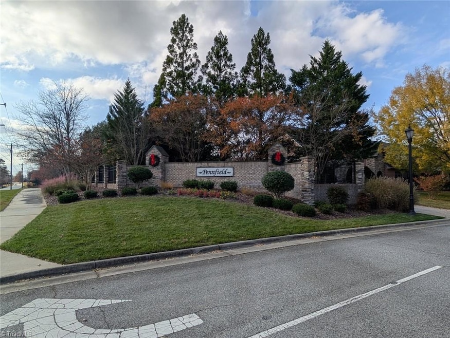
- Pennfield Subdivision
Listing and Financial Details
- Assessor Parcel Number 01019B0000051000
Map
Home Values in the Area
Average Home Value in this Area
Tax History
| Year | Tax Paid | Tax Assessment Tax Assessment Total Assessment is a certain percentage of the fair market value that is determined by local assessors to be the total taxable value of land and additions on the property. | Land | Improvement |
|---|---|---|---|---|
| 2025 | $725 | $62,000 | $0 | $0 |
| 2024 | $725 | $62,000 | $0 | $0 |
| 2023 | $707 | $62,000 | $0 | $0 |
| 2022 | $707 | $62,000 | $0 | $0 |
| 2021 | $725 | $62,000 | $0 | $0 |
| 2020 | $585 | $50,000 | $0 | $0 |
| 2019 | $594 | $50,000 | $0 | $0 |
| 2018 | $594 | $50,000 | $0 | $0 |
| 2017 | $594 | $50,000 | $0 | $0 |
| 2016 | $594 | $50,000 | $0 | $0 |
| 2015 | $595 | $50,000 | $0 | $0 |
| 2014 | $722 | $60,000 | $0 | $0 |
Purchase History
| Date | Type | Sale Price | Title Company |
|---|---|---|---|
| Warranty Deed | $20,000 | None Listed On Document | |
| Warranty Deed | $343,500 | None Available |
Mortgage History
| Date | Status | Loan Amount | Loan Type |
|---|---|---|---|
| Previous Owner | $343,032 | Purchase Money Mortgage |
Source: Triad MLS
MLS Number: 1202422
APN: 01-019-B-000-0051-0-0-0
Disclaimer: Certain information contained herein is derived from information provided by parties other than Homes.com. All information provided is deemed reliable, but is not guaranteed to be accurate and should be independently verified.
![]() Copyright 2025 Triad MLS, Inc. All rights reserved. IDX information is provided exclusively for personal, non-commercial use, and may not be used for any purpose other than to identify prospective properties consumers may be interested in purchasing. Information is deemed reliable but not guaranteed. This site will be monitored for ‘scraping’ and any use of search facilities of data on the site other than by potential buyers/sellers is prohibited. All Sale data is for informational purposes only and is not an indication of a market analysis or appraisal. Properties marked with the Triad MLS, Inc. icon are provided courtesy of the Triad MLS, Inc.’s, Internet Data Exchange Database.
Copyright 2025 Triad MLS, Inc. All rights reserved. IDX information is provided exclusively for personal, non-commercial use, and may not be used for any purpose other than to identify prospective properties consumers may be interested in purchasing. Information is deemed reliable but not guaranteed. This site will be monitored for ‘scraping’ and any use of search facilities of data on the site other than by potential buyers/sellers is prohibited. All Sale data is for informational purposes only and is not an indication of a market analysis or appraisal. Properties marked with the Triad MLS, Inc. icon are provided courtesy of the Triad MLS, Inc.’s, Internet Data Exchange Database.
- 2731 Croquet Cir
- 2801 Swan Lake Dr
- 2809 Churchill Ct
- 1706 Windsor Dr
- 4099 Stallion St
- Columbia Plan at Canter Creek
- Bailey Plan at Canter Creek
- Cotswold 3 Plan at Canter Creek
- Southport Plan at Canter Creek
- Seagrove Plan at Canter Creek
- 4095 Stallion St Unit Lot 19
- Richmond Plan at Canter Creek
- Somerset 3 Plan at Canter Creek
- 4106 Stallion St
- 4099 Stallion St Unit Lot 18
- 4095 Stallion St
- 4090 Stallion St
- 4098 Stallion St Unit Lot 76
- 4106 Stallion St Unit Lot 78
- 4094 Stallion St Unit lot 75
- 2231 Shadow Valley Rd
- 1410 Fernwood Dr
- 706 Westchester Dr
- 2470 Shadow Valley Rd
- 2524 Ingleside Dr
- 6073 Birkdale Dr
- 1281 Old Plank Rd
- 2711 Ingleside Dr
- 2017 Priya St
- 606 3 Oaks Dr
- 2013 Lancey Dr
- 177 Hartley Dr
- 101 Oxford Place Unit 14
- 6352 Hedgewood Ln
- 849 Hedgepath Terrace
- 749 Spinning Wheel Point
- 408 W Parkway Ave Unit A
- 737 Spinning Wheel Point
- 3710 Streamside Dr
- 6434 Hedgewood Ln
