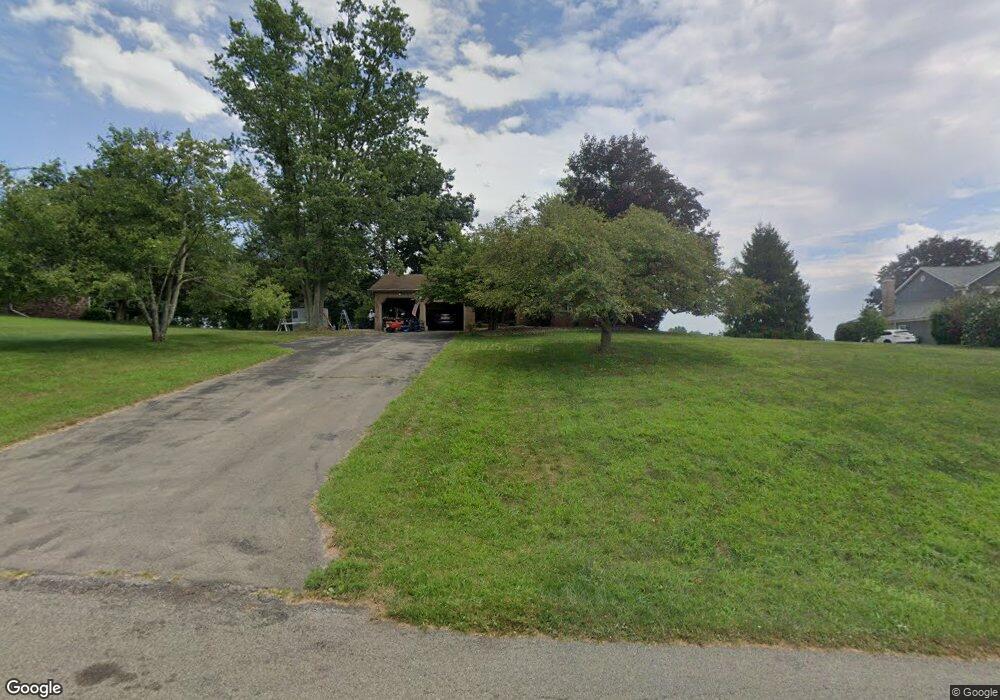
273 Forsythe Rd Mars, PA 16046
Adams Township NeighborhoodEstimated Value: $430,000 - $571,000
4
Beds
3
Baths
2,019
Sq Ft
$253/Sq Ft
Est. Value
About This Home
This home is located at 273 Forsythe Rd, Mars, PA 16046 and is currently estimated at $510,628, approximately $252 per square foot. 273 Forsythe Rd is a home located in Butler County with nearby schools including Mars Area Primary Center, Mars Area Elementary School, and Mars Area Centennial School.
Ownership History
Date
Name
Owned For
Owner Type
Purchase Details
Closed on
Jun 12, 2019
Sold by
Lecates Roy M
Bought by
Douglass Daniel F and Douglass Karen J
Current Estimated Value
Home Financials for this Owner
Home Financials are based on the most recent Mortgage that was taken out on this home.
Original Mortgage
$262,997
Outstanding Balance
$231,239
Interest Rate
4.1%
Mortgage Type
New Conventional
Estimated Equity
$279,389
Purchase Details
Closed on
Mar 24, 2010
Sold by
Orchard Jr Gilbert R
Bought by
Lecates Roy M
Home Financials for this Owner
Home Financials are based on the most recent Mortgage that was taken out on this home.
Original Mortgage
$221,250
Interest Rate
5.02%
Mortgage Type
New Conventional
Create a Home Valuation Report for This Property
The Home Valuation Report is an in-depth analysis detailing your home's value as well as a comparison with similar homes in the area
Home Values in the Area
Average Home Value in this Area
Purchase History
| Date | Buyer | Sale Price | Title Company |
|---|---|---|---|
| Douglass Daniel F | $301,797 | American General Svcs Corp | |
| Lecates Roy M | $295,000 | -- |
Source: Public Records
Mortgage History
| Date | Status | Borrower | Loan Amount |
|---|---|---|---|
| Open | Douglass Daniel F | $262,997 | |
| Previous Owner | Lecates Roy M | $221,250 |
Source: Public Records
Tax History Compared to Growth
Tax History
| Year | Tax Paid | Tax Assessment Tax Assessment Total Assessment is a certain percentage of the fair market value that is determined by local assessors to be the total taxable value of land and additions on the property. | Land | Improvement |
|---|---|---|---|---|
| 2025 | $3,918 | $27,910 | $1,590 | $26,320 |
| 2024 | $3,821 | $27,910 | $1,590 | $26,320 |
| 2023 | $3,705 | $27,910 | $1,590 | $26,320 |
| 2022 | $3,705 | $27,910 | $1,590 | $26,320 |
| 2021 | $3,705 | $26,820 | $0 | $0 |
| 2020 | $3,560 | $26,820 | $1,590 | $25,230 |
| 2019 | $3,560 | $26,820 | $1,590 | $25,230 |
| 2018 | $3,497 | $26,820 | $1,590 | $25,230 |
| 2017 | $3,497 | $26,820 | $1,590 | $25,230 |
| 2016 | $926 | $26,820 | $1,590 | $25,230 |
| 2015 | $544 | $26,820 | $1,590 | $25,230 |
| 2014 | $544 | $26,820 | $1,590 | $25,230 |
Source: Public Records
Map
Nearby Homes
- 103 Allen Dr
- 145 Brighton Ln
- 6031 Ruby Way
- 6024 Ruby Way
- 207 Windham Ln
- 130 Brighton Ln
- 8020 Chief Way
- 122 Brighton Ln
- Wexford Plan at Amherst Village - Townhomes
- 100 Wickerham Dr
- 222 Myoma Rd
- 114 Granite Ridge Cir
- 292 Myoma Rd
- 218 Myoma Rd
- Columbia w/ Finished Basement Plan at Amherst Village - Single Family Homes
- Lehigh w/ Finished Basement Plan at Amherst Village - Single Family Homes
- Hudson w/ Finished Basement Plan at Amherst Village - Single Family Homes
- Allegheny w/ Finished Basement Plan at Amherst Village - Single Family Homes
- York w/ Finished Basement Plan at Amherst Village - Single Family Homes
- Palladio Ranch w/ Finished Basement Plan at Amherst Village - Single Family Homes