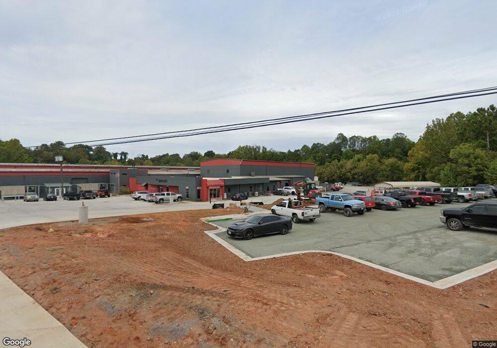
273 Francis Ave Monroe, VA 24574
Estimated Value: $120,000
Studio
--
Bath
70,422
Sq Ft
$2/Sq Ft
Est. Value
About This Home
This home is located at 273 Francis Ave, Monroe, VA 24574 and is currently priced at $120,000, approximately $1 per square foot. 273 Francis Ave is a home located in Amherst County with nearby schools including Amherst Elementary School, Amherst Middle School, and Amherst County High School.
Ownership History
Date
Name
Owned For
Owner Type
Purchase Details
Closed on
Sep 2, 2010
Sold by
Lynchburg Steel Company Llc
Bought by
Anderson Enterprises Llc
Current Estimated Value
Home Financials for this Owner
Home Financials are based on the most recent Mortgage that was taken out on this home.
Original Mortgage
$620,000
Outstanding Balance
$401,270
Interest Rate
4.36%
Mortgage Type
Commercial
Create a Home Valuation Report for This Property
The Home Valuation Report is an in-depth analysis detailing your home's value as well as a comparison with similar homes in the area
Purchase History
| Date | Buyer | Sale Price | Title Company |
|---|---|---|---|
| Anderson Enterprises Llc | $1,500,000 | None Available |
Source: Public Records
Mortgage History
| Date | Status | Borrower | Loan Amount |
|---|---|---|---|
| Open | Anderson Enterprises Llc | $620,000 | |
| Closed | Anderson Enterprises Llc | $775,000 |
Source: Public Records
Tax History
| Year | Tax Paid | Tax Assessment Tax Assessment Total Assessment is a certain percentage of the fair market value that is determined by local assessors to be the total taxable value of land and additions on the property. | Land | Improvement |
|---|---|---|---|---|
| 2026 | $15,523 | $2,544,700 | $309,800 | $2,234,900 |
| 2025 | $13,959 | $2,288,400 | $258,100 | $2,030,300 |
| 2024 | $13,959 | $2,288,400 | $258,100 | $2,030,300 |
| 2023 | $13,959 | $2,288,400 | $258,100 | $2,030,300 |
| 2022 | $13,959 | $2,288,400 | $258,100 | $2,030,300 |
| 2021 | $13,959 | $2,288,400 | $258,100 | $2,030,300 |
| 2020 | $13,959 | $2,288,400 | $258,100 | $2,030,300 |
| 2019 | $11,985 | $1,964,800 | $258,100 | $1,706,700 |
| 2018 | $11,985 | $1,964,800 | $258,100 | $1,706,700 |
| 2017 | $11,935 | $1,956,500 | $249,800 | $1,706,700 |
| 2016 | $11,935 | $1,956,500 | $249,800 | $1,706,700 |
| 2015 | $10,956 | $1,956,500 | $249,800 | $1,706,700 |
| 2014 | $10,956 | $1,956,500 | $249,800 | $1,706,700 |
Source: Public Records
Map
Nearby Homes
- 126 Rothwood Rd
- 123 Lynchburg Ave
- 157 Old Country Rd
- 135 Old Country Rd
- 0 Rothwood Rd
- 124-138 Cedar Gate Rd
- 119 Oakview Dr
- 109 Cedar Gate Rd
- 0 S Amherst Hwy Unit 336267
- 1 Lot Blue Sky Ct
- 1358 S Coolwell Rd
- 893 Cedar Gate Rd
- 0 Crawford's Hill Place
- 71 Patrick Ct
- 505 Royal Gardens Ct
- 116 Winridge Dr
- 143 Shannon Dr
- 150 Oak Grove Dr
- 327 Dixie Airport Rd
- 216 Burford Farm Rd
- 277 Francis Ave
- 117 Monroe St
- 119 Monroe St
- 589 S Five Forks Rd
- 133 Coapman Ave
- 2925 S Amherst Hwy
- 161 Monroe St
- 125 Coapman Ave
- 2927 S Amherst Hwy
- 171 Magnolia Ln
- 117 Coapman Ave
- 105 Coapman Ave
- 123 Spencer St
- 157 Magnolia Ln
- 118 Coapman Ave
- 147 Magnolia Ln
- 109 Spencer St
- 116 Coapman Ave
- 167 Harrison Ave
- 133 Magnolia Ln
Your Personal Tour Guide
Ask me questions while you tour the home.