273 Frank Christian Rd Dahlonega, GA 30533
Estimated Value: $314,000 - $440,000
--
Bed
3
Baths
1,870
Sq Ft
$196/Sq Ft
Est. Value
About This Home
This home is located at 273 Frank Christian Rd, Dahlonega, GA 30533 and is currently estimated at $366,816, approximately $196 per square foot. 273 Frank Christian Rd is a home located in Lumpkin County with nearby schools including Lumpkin County High School.
Ownership History
Date
Name
Owned For
Owner Type
Purchase Details
Closed on
Jan 31, 2017
Sold by
Glass Shwana B
Bought by
Reynolds Gregory Doyal
Current Estimated Value
Home Financials for this Owner
Home Financials are based on the most recent Mortgage that was taken out on this home.
Original Mortgage
$126,172
Outstanding Balance
$103,486
Interest Rate
3.87%
Mortgage Type
FHA
Estimated Equity
$263,330
Purchase Details
Closed on
Jul 6, 2004
Sold by
Gentry John H
Bought by
Blong Shawana B and Glass Robin W
Create a Home Valuation Report for This Property
The Home Valuation Report is an in-depth analysis detailing your home's value as well as a comparison with similar homes in the area
Home Values in the Area
Average Home Value in this Area
Purchase History
| Date | Buyer | Sale Price | Title Company |
|---|---|---|---|
| Reynolds Gregory Doyal | $126,500 | -- | |
| Blong Shawana B | $117,000 | -- |
Source: Public Records
Mortgage History
| Date | Status | Borrower | Loan Amount |
|---|---|---|---|
| Open | Reynolds Gregory Doyal | $126,172 |
Source: Public Records
Tax History Compared to Growth
Tax History
| Year | Tax Paid | Tax Assessment Tax Assessment Total Assessment is a certain percentage of the fair market value that is determined by local assessors to be the total taxable value of land and additions on the property. | Land | Improvement |
|---|---|---|---|---|
| 2024 | $2,019 | $88,311 | $9,104 | $79,207 |
| 2023 | $1,464 | $81,789 | $8,509 | $73,280 |
| 2022 | $1,702 | $70,742 | $7,096 | $63,646 |
| 2021 | $1,449 | $58,588 | $7,096 | $51,492 |
| 2020 | $1,440 | $56,581 | $6,796 | $49,785 |
| 2019 | $1,453 | $56,581 | $6,796 | $49,785 |
| 2018 | $1,438 | $50,688 | $6,796 | $43,892 |
| 2017 | $1,218 | $44,115 | $12,000 | $32,115 |
| 2016 | $1,159 | $40,770 | $12,000 | $28,770 |
| 2015 | $1,050 | $40,770 | $12,000 | $28,770 |
| 2014 | $1,050 | $41,820 | $12,000 | $29,820 |
| 2013 | -- | $42,870 | $12,000 | $30,870 |
Source: Public Records
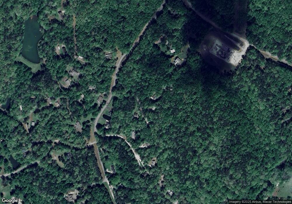
Map
Nearby Homes
- 61 Hubler Rd
- 73 Hubler Rd
- 64 Hubler Rd
- 100 Hubler Rd
- 239 Frank Christian Rd
- 303 Frank Christian Rd
- 82 Gentry Hollow
- 240 Frank Christian Rd
- 327 Frank Christian Rd
- N Gentry Hollow Unit 194
- 0 Gentry Hollow Unit 8097864
- 0 Gentry Hollow Unit 8350491
- 0 Gentry Hollow Unit 8520935
- 0 Gentry Hollow Unit 8729557
- 0 Gentry Hollow
- 2145 Highway 52 W
- 312 Frank Christian Rd
- 84 Gentry Hollow
- 538 Gentry Cir
- 204 Frank Christian Rd