Estimated Value: $514,327 - $617,000
3
Beds
2
Baths
1,752
Sq Ft
$320/Sq Ft
Est. Value
About This Home
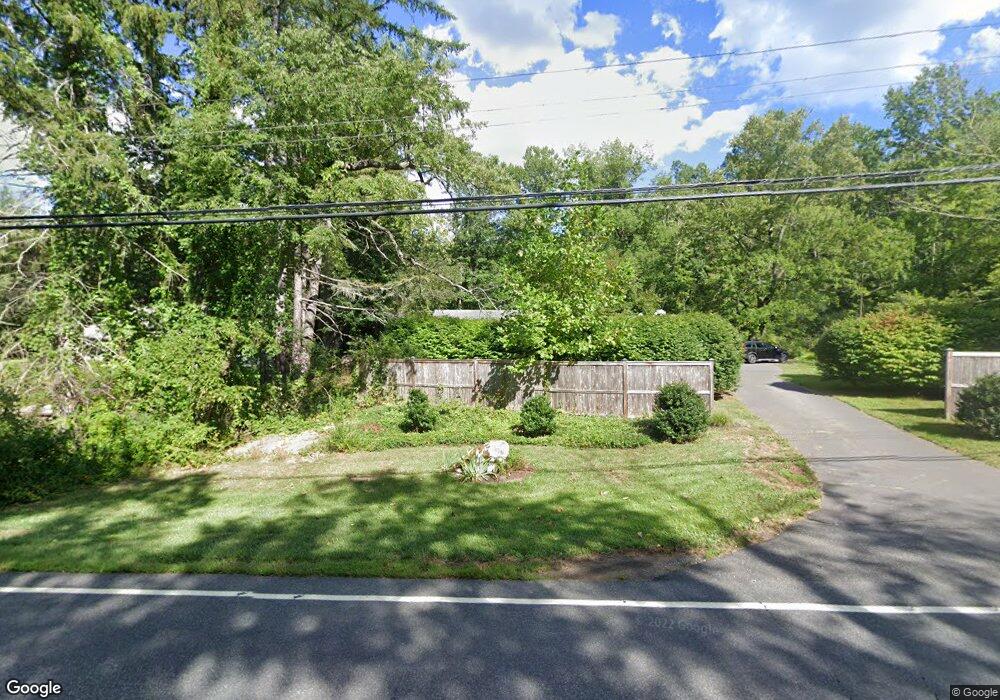
This home is located at 273 Kent Rd, Kent, CT 06757 and is currently estimated at $560,082, approximately $319 per square foot. 273 Kent Rd is a home located in Litchfield County with nearby schools including Kent Center School, Housatonic Valley Regional High School, and South Kent School.
Ownership History
Date
Name
Owned For
Owner Type
Purchase Details
Closed on
Oct 12, 2018
Sold by
Robb Danil J and Robb Shertlla
Bought by
Robb Danil J and Robb Shertlla
Current Estimated Value
Purchase Details
Closed on
Nov 1, 1984
Bought by
Robb Daniel J and Robb Sheryll A
Create a Home Valuation Report for This Property
The Home Valuation Report is an in-depth analysis detailing your home's value as well as a comparison with similar homes in the area
Home Values in the Area
Average Home Value in this Area
Purchase History
| Date | Buyer | Sale Price | Title Company |
|---|---|---|---|
| Robb Danil J | -- | -- | |
| Robb Daniel J | -- | -- |
Source: Public Records
Mortgage History
| Date | Status | Borrower | Loan Amount |
|---|---|---|---|
| Previous Owner | Robb Daniel J | $97,500 | |
| Previous Owner | Robb Daniel J | $89,000 | |
| Previous Owner | Robb Daniel J | $28,500 | |
| Previous Owner | Robb Daniel J | $80,000 |
Source: Public Records
Tax History Compared to Growth
Tax History
| Year | Tax Paid | Tax Assessment Tax Assessment Total Assessment is a certain percentage of the fair market value that is determined by local assessors to be the total taxable value of land and additions on the property. | Land | Improvement |
|---|---|---|---|---|
| 2025 | $5,253 | $311,400 | $79,100 | $232,300 |
| 2024 | $4,855 | $311,400 | $79,100 | $232,300 |
| 2023 | $3,861 | $205,800 | $86,100 | $119,700 |
| 2022 | $3,738 | $201,300 | $86,100 | $115,200 |
| 2021 | $4,229 | $201,300 | $86,100 | $115,200 |
| 2020 | $3,746 | $201,300 | $86,100 | $115,200 |
| 2019 | $4,229 | $201,300 | $86,100 | $115,200 |
| 2018 | $4,172 | $224,200 | $107,800 | $116,400 |
| 2017 | $4,172 | $224,200 | $107,800 | $116,400 |
| 2016 | $4,110 | $224,200 | $107,800 | $116,400 |
| 2015 | $3,943 | $220,800 | $107,800 | $113,000 |
| 2014 | $3,760 | $220,800 | $107,800 | $113,000 |
Source: Public Records
Map
Nearby Homes
- 0 Spooner Hill Rd Unit 24077524
- 14 SE Mountain Rd
- 50 Lake Ellis Rd
- 132 S Kent Rd
- 97 Lake Ellis Rd
- 73 Lake Ellis Rd
- 228 Dog Tail Corners Rd
- 73 Long River Rd
- 42 Long River Rd
- 152 S Kent Rd
- 60 Long River Rd
- LOT 30 Long River Rd
- 00 Camps Flat Rd
- 26 Nicole Ln
- 696 Kent Rd
- 103 Geer Mountain Rd
- 685 Kent Rd
- 1 Hoyt Rd
- 360 Old State Route 22
- 20 Hemlock Ln