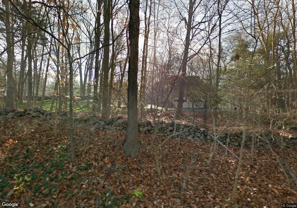
273 Longmeadow Rd Fairfield, CT 06824
Greenfield Hill NeighborhoodEstimated Value: $983,461 - $1,443,000
3
Beds
4
Baths
2,052
Sq Ft
$615/Sq Ft
Est. Value
About This Home
This home is located at 273 Longmeadow Rd, Fairfield, CT 06824 and is currently estimated at $1,262,865, approximately $615 per square foot. 273 Longmeadow Rd is a home located in Fairfield County with nearby schools including Burr Elementary School, Tomlinson Middle School, and Fairfield Warde High School.
Ownership History
Date
Name
Owned For
Owner Type
Purchase Details
Closed on
Jan 13, 2005
Sold by
Flemma Patricia L
Bought by
Masanotti Peter L
Current Estimated Value
Home Financials for this Owner
Home Financials are based on the most recent Mortgage that was taken out on this home.
Original Mortgage
$500,000
Interest Rate
5.81%
Mortgage Type
Purchase Money Mortgage
Purchase Details
Closed on
Jul 2, 2002
Sold by
Montgomery Wright J
Bought by
Flemma Patricia L
Create a Home Valuation Report for This Property
The Home Valuation Report is an in-depth analysis detailing your home's value as well as a comparison with similar homes in the area
Home Values in the Area
Average Home Value in this Area
Purchase History
| Date | Buyer | Sale Price | Title Company |
|---|---|---|---|
| Masanotti Peter L | $898,500 | -- | |
| Masanotti Peter L | $898,500 | -- | |
| Flemma Patricia L | $545,000 | -- | |
| Flemma Patricia L | $545,000 | -- |
Source: Public Records
Mortgage History
| Date | Status | Borrower | Loan Amount |
|---|---|---|---|
| Open | Flemma Patricia L | $465,000 | |
| Closed | Flemma Patricia L | $500,000 | |
| Previous Owner | Flemma Patricia L | $400,000 |
Source: Public Records
Tax History
| Year | Tax Paid | Tax Assessment Tax Assessment Total Assessment is a certain percentage of the fair market value that is determined by local assessors to be the total taxable value of land and additions on the property. | Land | Improvement |
|---|---|---|---|---|
| 2025 | $11,528 | $406,070 | $264,880 | $141,190 |
| 2024 | $11,329 | $406,070 | $264,880 | $141,190 |
| 2023 | $11,171 | $406,070 | $264,880 | $141,190 |
| 2022 | $11,061 | $406,070 | $264,880 | $141,190 |
| 2021 | $10,956 | $406,070 | $264,880 | $141,190 |
| 2020 | $10,629 | $396,760 | $256,200 | $140,560 |
| 2019 | $10,629 | $396,760 | $256,200 | $140,560 |
| 2018 | $10,459 | $396,760 | $256,200 | $140,560 |
| 2017 | $10,244 | $396,760 | $256,200 | $140,560 |
| 2016 | $10,098 | $396,760 | $256,200 | $140,560 |
| 2015 | $10,259 | $413,840 | $284,200 | $129,640 |
| 2014 | $10,098 | $413,840 | $284,200 | $129,640 |
Source: Public Records
Map
Nearby Homes
- 200 Long Meadow Rd
- 180 Catamount Rd
- 22 Brett Rd
- 4800 Congress St
- 158 Coventry Ln
- 11 Judges Hollow Rd
- 1375 Westport Turnpike
- 140 Mile Common Rd
- 85-95 Old Easton Turnpike
- 88 Merry Meet Cir
- 312 Towne House Rd
- 212 Fence Row Dr
- 3674 Congress St
- 14 Codfish Ln
- 1 Greenlea Ln
- 1380 Old Academy Rd
- 319 Bayberry Ln
- 2177 Cross Hwy
- 10 Pheasant Hill Rd
- 9 Greenbrier Rd
- 259 Longmeadow Rd
- 271 Longmeadow Rd
- 279 Westlea Rd
- 3100 Redding Rd
- 269 Westlea Rd
- 350 Longmeadow Rd
- 3175 Redding Rd
- 3247 Redding Rd
- 3115 Redding Rd
- 340 Longmeadow Rd
- 3085 Redding Rd
- 230 Longmeadow Rd
- 267 Westlea Rd
- 200 Longmeadow Rd
- 3060 Redding Rd
- 197 Longmeadow Rd
- 197 Eastlea Rd
- 290 Longmeadow Rd
- 265 Westlea Rd
- 3325 Redding Rd
Your Personal Tour Guide
Ask me questions while you tour the home.