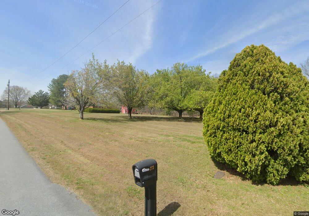
273 Mcbride Rd Rockmart, GA 30153
Estimated Value: $246,000
Studio
1
Bath
--
Sq Ft
2,116,145
Sq Ft Lot
About This Home
This home is located at 273 Mcbride Rd, Rockmart, GA 30153 and is currently estimated at $246,000. 273 Mcbride Rd is a home located in Polk County with nearby schools including Rockmart Middle School.
Ownership History
Date
Name
Owned For
Owner Type
Purchase Details
Closed on
Apr 12, 2010
Sold by
Smith Phyllis S
Bought by
Smith Joshua Allan
Current Estimated Value
Purchase Details
Closed on
Feb 19, 2010
Sold by
Gibel Jeremy Taylor
Bought by
Smith Phyllis S
Purchase Details
Closed on
May 15, 2009
Sold by
Smith Joshua Allan
Bought by
Gibel Jeremy Taylor
Purchase Details
Closed on
Dec 17, 2007
Sold by
Not Provided
Bought by
Smith Phyllis S and Smith James C Shepard
Purchase Details
Closed on
Apr 7, 1961
Sold by
Oconnell D E
Bought by
Sheppard James I
Purchase Details
Closed on
Jan 20, 1956
Bought by
Oconnell D E
Create a Home Valuation Report for This Property
The Home Valuation Report is an in-depth analysis detailing your home's value as well as a comparison with similar homes in the area
Purchase History
| Date | Buyer | Sale Price | Title Company |
|---|---|---|---|
| Smith Joshua Allan | -- | -- | |
| Smith Phyllis S | -- | -- | |
| Gibel Jeremy Taylor | -- | -- | |
| Smith Joshua Allan | -- | -- | |
| Smith Phyllis S | -- | -- | |
| Gibel Jeremy Taylor | -- | -- | |
| Smith Joshua Allan | -- | -- | |
| Smith Phyllis S | -- | -- | |
| Smith Phyllis S | -- | -- | |
| Smith Phyllis S | -- | -- | |
| Sheppard James I | -- | -- | |
| Oconnell D E | -- | -- |
Source: Public Records
Tax History
| Year | Tax Paid | Tax Assessment Tax Assessment Total Assessment is a certain percentage of the fair market value that is determined by local assessors to be the total taxable value of land and additions on the property. | Land | Improvement |
|---|---|---|---|---|
| 2025 | $388 | $68,372 | $68,372 | $0 |
| 2024 | $350 | $68,372 | $68,372 | $0 |
| 2023 | $386 | $68,372 | $68,372 | $0 |
| 2022 | $375 | $59,616 | $59,616 | $0 |
| 2021 | $369 | $59,616 | $59,616 | $0 |
| 2020 | $359 | $59,616 | $59,616 | $0 |
| 2019 | $389 | $59,616 | $59,616 | $0 |
| 2018 | $388 | $59,616 | $59,616 | $0 |
| 2017 | $372 | $59,616 | $59,616 | $0 |
| 2016 | $361 | $42,902 | $42,902 | $0 |
| 2015 | $352 | $42,902 | $42,902 | $0 |
| 2014 | $365 | $45,219 | $44,830 | $389 |
Source: Public Records
Map
Nearby Homes
- 957 Bethlehem Rd
- 907 Stringer Rd
- 394 Knight Rd
- 49 Bethlehem Rd
- 0 Bethlehem Rd Unit 7730467
- 0 Bethlehem Rd Unit 10705308
- 0 Everett Mtn Rd
- 65 Wheeler Rd
- 184 Morgan Ln
- 0 Tolbert Town Rd Unit 10640593
- 0 Tolbert Town Rd Unit 7678739
- 2512 Tolbert Town Rd
- 3566 Rockmart Hwy
- 247 Grady Rd
- 101 Sunset Loop
- 600 Grady Rd
- Lot 10 Sunset Loop
- 0 Hightower Falls Rd Unit 7746466
- 0 Hightower Falls Rd Unit 7746481
- 0 Hightower Falls Rd Unit 7746485
Your Personal Tour Guide
Ask me questions while you tour the home.