273 N Airport Way Way Stuart Island, WA 98250
Estimated Value: $568,007 - $877,000
2
Beds
1
Bath
1,310
Sq Ft
$520/Sq Ft
Est. Value
About This Home
This home is located at 273 N Airport Way Way, Stuart Island, WA 98250 and is currently estimated at $681,252, approximately $520 per square foot. 273 N Airport Way Way is a home located in San Juan County with nearby schools including Friday Harbor Elementary School, Friday Harbor Middle School, and Friday Harbor High School.
Ownership History
Date
Name
Owned For
Owner Type
Purchase Details
Closed on
Sep 18, 2018
Sold by
Wsuf Properties Llc
Bought by
Thompson Reanne and Thompson Britt
Current Estimated Value
Purchase Details
Closed on
Apr 17, 2018
Sold by
Nutter David J and Nutter Christine Rae
Bought by
Wsuf Properties Llc
Purchase Details
Closed on
Aug 12, 2009
Sold by
Nutter David J and Nutter Living Trust
Bought by
Nutter David J and Nutter Christie Rae
Create a Home Valuation Report for This Property
The Home Valuation Report is an in-depth analysis detailing your home's value as well as a comparison with similar homes in the area
Home Values in the Area
Average Home Value in this Area
Purchase History
| Date | Buyer | Sale Price | Title Company |
|---|---|---|---|
| Thompson Reanne | $124,820 | Chicago Title | |
| Wsuf Properties Llc | -- | Chicago Title | |
| Nutter David J | -- | None Available |
Source: Public Records
Tax History Compared to Growth
Tax History
| Year | Tax Paid | Tax Assessment Tax Assessment Total Assessment is a certain percentage of the fair market value that is determined by local assessors to be the total taxable value of land and additions on the property. | Land | Improvement |
|---|---|---|---|---|
| 2024 | $2,495 | $471,890 | $193,640 | $278,250 |
| 2023 | $2,495 | $474,960 | $193,640 | $281,320 |
| 2022 | $2,382 | $445,350 | $203,830 | $241,520 |
| 2021 | $1,592 | $358,630 | $135,880 | $222,750 |
| 2020 | $1,553 | $253,210 | $135,880 | $117,330 |
| 2019 | $1,327 | $243,580 | $135,880 | $107,700 |
| 2018 | $1,491 | $284,420 | $210,150 | $74,270 |
| 2017 | $1,312 | $219,370 | $135,880 | $83,490 |
| 2016 | $1,206 | $208,740 | $143,030 | $65,710 |
| 2015 | $1,206 | $212,050 | $143,030 | $69,020 |
| 2014 | $1,206 | $219,810 | $152,960 | $66,850 |
| 2012 | $1,206 | $195,590 | $111,520 | $84,070 |
Source: Public Records
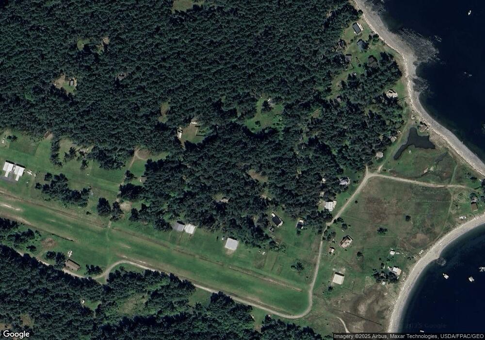
Map
Nearby Homes
- 35 N Airport Way
- 567 Marine Ln
- 177 Vista Place
- 142 Hideaway Ln
- 244 Davison Head Dr
- 477 Davison Head Dr
- 0 Afterglow Dr Unit NWM1912159
- 0 Spieden View Ln
- 309 Afterglow Dr
- 30 Smugglers Rowe
- 300 Wildflower Ln
- 258 Armadale Rd Unit 1
- 98 Armadale Rd Unit 209
- 98 Armadale Rd Unit 215
- 101 Ada's Alley
- 128 White Point Rd
- 457 White Point Rd
- 1378 San Juan Dr
- 16 Driftwood Dr
- 1316 San Juan Dr
- 273 N Airport Way
- 92 Airway Park
- 936 Marine Ln
- 258 N Airport Way
- 205 N Airport Way
- 63 Stuart Island Airway Park
- 332 N Airport Way
- 14 Stuart Island Airway Park
- 1020 Marine Ln
- 936 Stuart Island E
- 176 N Airport Way
- 8 Stuart Island Airway Park
- 25 Stuart Island Park Tie Down
- 1037 Marine Ln
- 155 Chandler Rd
- 0 xxx Corral Rd
- 0 Corral Rd Unit NWM1791800
- 0 Corral Rd
- 911 Marine Ln
- 863 Marine Ln