273 Snowridge Ln Port Angeles, WA 98362
Estimated Value: $574,585 - $716,000
1
Bed
2
Baths
1,271
Sq Ft
$520/Sq Ft
Est. Value
About This Home
This home is located at 273 Snowridge Ln, Port Angeles, WA 98362 and is currently estimated at $661,528, approximately $520 per square foot. 273 Snowridge Ln is a home located in Clallam County with nearby schools including Roosevelt Elementary School, Stevens Middle School, and Port Angeles High School.
Ownership History
Date
Name
Owned For
Owner Type
Purchase Details
Closed on
Jan 30, 2018
Sold by
Shotwell Precast Co
Bought by
Fridley Neal and Fridley Kathryn
Current Estimated Value
Home Financials for this Owner
Home Financials are based on the most recent Mortgage that was taken out on this home.
Original Mortgage
$585,000
Outstanding Balance
$497,418
Interest Rate
4.15%
Estimated Equity
$164,110
Purchase Details
Closed on
Aug 30, 1989
Sold by
Shotwell Precast Corporation
Bought by
Fridley Neal and Fridley Kathryn
Create a Home Valuation Report for This Property
The Home Valuation Report is an in-depth analysis detailing your home's value as well as a comparison with similar homes in the area
Home Values in the Area
Average Home Value in this Area
Purchase History
| Date | Buyer | Sale Price | Title Company |
|---|---|---|---|
| Fridley Neal | -- | -- | |
| Fridley Neal | -- | None Available |
Source: Public Records
Mortgage History
| Date | Status | Borrower | Loan Amount |
|---|---|---|---|
| Open | Fridley Neal | $585,000 | |
| Closed | Fridley Neal | -- |
Source: Public Records
Tax History Compared to Growth
Tax History
| Year | Tax Paid | Tax Assessment Tax Assessment Total Assessment is a certain percentage of the fair market value that is determined by local assessors to be the total taxable value of land and additions on the property. | Land | Improvement |
|---|---|---|---|---|
| 2021 | $1,194 | $347,693 | $115,100 | $232,593 |
| 2020 | $1,178 | $315,711 | $93,936 | $221,775 |
| 2018 | $1,633 | $297,557 | $93,936 | $203,621 |
| 2017 | $2,751 | $253,537 | $93,936 | $159,601 |
| 2016 | $2,751 | $254,561 | $93,936 | $160,625 |
| 2015 | $2,751 | $248,063 | $93,936 | $154,127 |
| 2013 | $2,751 | $228,389 | $93,936 | $134,453 |
| 2012 | $2,751 | $263,703 | $112,723 | $150,980 |
Source: Public Records
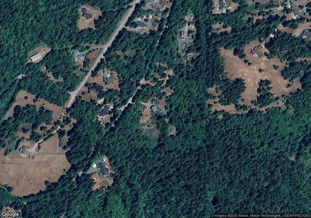
Map
Nearby Homes
- 9999 Mt Pleasant Rd
- 11 Lot Maletti Hill Rd
- Lot 11 Maletti Hill Rd
- 9999 Ripplebrook Dr
- 9999 Ripplebrook Dr Unit 9999 Runnamuck Lane
- 0 Uphill Dr
- 0 Glass Rd
- 0 Lot 40 Township Line Rd
- 1065 Henry Boyd Rd
- 0 Xx Township Line Rd
- 0 Harrington Rd
- 0 NKA Deer Park Rd
- 596 Watershed Rd
- 1404 Ripplebrook Dr
- 2102 Mount Pleasant Rd
- 42 S Windflower Ln
- 92+ Acres Headwaters Ln Unit O'Brien Road
- NKA Deer Park Rd
- NKA Phillips Pkwy
- NKA Uphill Dr
- 282 Snowridge Ln
- 5023 Mount Pleasant Rd
- 145 Snowridge Ln
- 413 Snowridge Ln
- 4963 Mount Pleasant Rd
- 5014 Mount Pleasant Rd
- 4923 Mount Pleasant Rd
- 9999 Lot 8 Black Bear Trail
- 4984 Mount Pleasant Rd
- 96 Wild Orchid Ln
- 100 Wild Orchid Ln
- 9999 Mount Pleasant Rd
- 5148 Mount Pleasant Rd
- 9999 Wild Orchid Ln
- 0 Wild Orchid Ln Unit 802559
- 0 Wild Orchid Ln Unit NWM226611
- 322 Wild Orchid Ln
- 234 Wild Orchid Ln
- 5572 Mount Pleasant Rd
- 999 Wild Orchid Ln