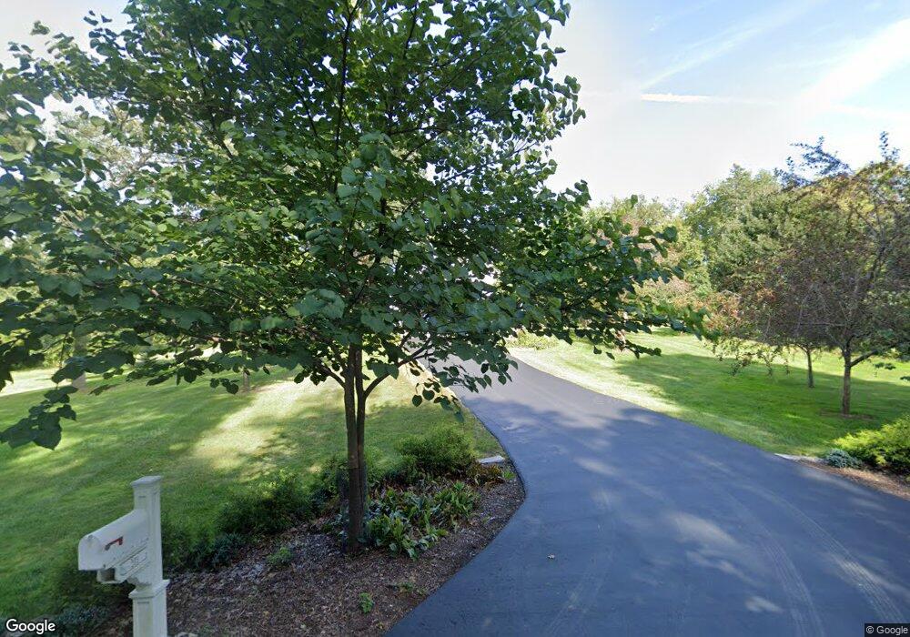
273 Woodland Dr North Barrington, IL 60010
Estimated Value: $501,000 - $673,000
--
Bed
2
Baths
2,065
Sq Ft
$273/Sq Ft
Est. Value
About This Home
This home is located at 273 Woodland Dr, North Barrington, IL 60010 and is currently estimated at $563,463, approximately $272 per square foot. 273 Woodland Dr is a home located in Lake County with nearby schools including North Barrington Elementary School, Barrington Mdle School- Prairie Cmps, and Barrington High School.
Ownership History
Date
Name
Owned For
Owner Type
Purchase Details
Closed on
Sep 3, 2013
Sold by
Ford Peg J
Bought by
The Peg J Ford Living Trust
Current Estimated Value
Purchase Details
Closed on
Mar 20, 2007
Sold by
Rock Philip A and Rock Julia S
Bought by
Ford Peg J
Purchase Details
Closed on
Feb 7, 2003
Sold by
Rock Philip A and Rock Julia S
Bought by
Rock Philip A and Rock Julia S
Create a Home Valuation Report for This Property
The Home Valuation Report is an in-depth analysis detailing your home's value as well as a comparison with similar homes in the area
Home Values in the Area
Average Home Value in this Area
Purchase History
| Date | Buyer | Sale Price | Title Company |
|---|---|---|---|
| The Peg J Ford Living Trust | -- | None Available | |
| Ford Peg J | $410,000 | None Available | |
| Rock Philip A | -- | -- |
Source: Public Records
Tax History Compared to Growth
Tax History
| Year | Tax Paid | Tax Assessment Tax Assessment Total Assessment is a certain percentage of the fair market value that is determined by local assessors to be the total taxable value of land and additions on the property. | Land | Improvement |
|---|---|---|---|---|
| 2024 | $7,960 | $133,781 | $41,344 | $92,437 |
| 2023 | $9,009 | $126,807 | $39,189 | $87,618 |
| 2022 | $9,009 | $136,421 | $44,335 | $92,086 |
| 2021 | $8,892 | $134,101 | $43,581 | $90,520 |
| 2020 | $8,648 | $133,686 | $43,446 | $90,240 |
| 2019 | $8,285 | $130,159 | $42,300 | $87,859 |
| 2018 | $8,888 | $143,076 | $50,330 | $92,746 |
| 2017 | $8,766 | $140,202 | $49,319 | $90,883 |
| 2016 | $8,679 | $134,914 | $47,459 | $87,455 |
| 2015 | $8,128 | $126,537 | $44,512 | $82,025 |
| 2014 | $8,419 | $118,289 | $48,188 | $70,101 |
| 2012 | $8,161 | $120,322 | $49,016 | $71,306 |
Source: Public Records
Map
Nearby Homes
- 600 Eton Dr
- 78 Foxwood Ln Unit M169
- 59 Thornhill Ln Unit K176
- 68 Thornhill Ln
- 25 Shoreline Rd Unit B
- 220 Thornhill Ct Unit D
- 240 Oxford Rd
- 208 Biltmore Dr
- 24334 N Grandview Dr
- 209 Shoreline Rd Unit B
- 47 S Wynstone Dr
- 294 Mallard Point Unit A
- 455 Eton Dr
- 321 Shoreline Rd Unit D
- 535 Woodview Rd
- 404 N Shoreline Rd Unit 298
- 39 Deverell Dr
- 70 Bexley Ct
- 557 Signal Hill Rd
- 660 Old Barn Rd Unit F-24
- 267 Woodland Dr
- 281 Woodland Dr Unit 2
- 566 Brookside Rd
- 569 Brookside Rd Unit 2
- 278 Woodland Dr
- 568 Eton Dr Unit 2
- 263 Woodland Dr
- 584 Brookside Rd Unit 2
- 583 Brookside Rd Unit 2
- 591 Glen Cir
- 558 Eton Dr
- 289 Woodland Dr
- 587 Brookside Rd
- 283 Wooded Ln Unit 2
- 283 Wooded Ln
- 288 Woodland Dr
- 584 Eton Dr
- 255 Woodland Dr Unit 2
- 255 Woodland Dr
- 591 Brookside Rd Unit 2
