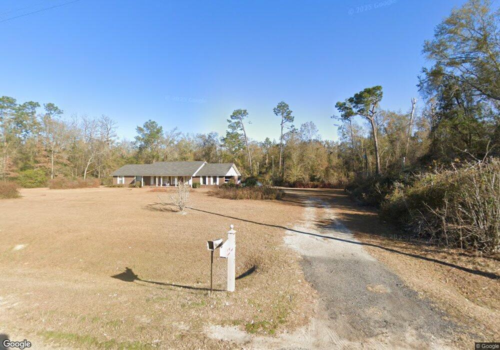
2730 Dothan Rd Bainbridge, GA 39817
Estimated Value: $212,000 - $488,998
--
Bed
1
Bath
1,756
Sq Ft
$200/Sq Ft
Est. Value
About This Home
This home is located at 2730 Dothan Rd, Bainbridge, GA 39817 and is currently estimated at $350,499, approximately $199 per square foot. 2730 Dothan Rd is a home with nearby schools including Bainbridge High School.
Ownership History
Date
Name
Owned For
Owner Type
Purchase Details
Closed on
Mar 31, 2021
Sold by
Blanchard Sue
Bought by
Blanchard William Henry and Walsh Andy Kaye
Current Estimated Value
Purchase Details
Closed on
Mar 24, 2010
Sold by
Turner Angela and Estate Of Dale Blanchard
Bought by
Blanchard Sue Yvonne and Blanchard William Henry
Create a Home Valuation Report for This Property
The Home Valuation Report is an in-depth analysis detailing your home's value as well as a comparison with similar homes in the area
Home Values in the Area
Average Home Value in this Area
Purchase History
| Date | Buyer | Sale Price | Title Company |
|---|---|---|---|
| Blanchard William Henry | -- | -- | |
| Blanchard Sue Yvonne | -- | -- | |
| Blanchard Sue Yvonne | $95,000 | -- |
Source: Public Records
Tax History Compared to Growth
Tax History
| Year | Tax Paid | Tax Assessment Tax Assessment Total Assessment is a certain percentage of the fair market value that is determined by local assessors to be the total taxable value of land and additions on the property. | Land | Improvement |
|---|---|---|---|---|
| 2024 | $4,183 | $138,910 | $84,566 | $54,344 |
| 2023 | $4,183 | $138,910 | $84,566 | $54,344 |
| 2022 | $4,004 | $137,588 | $84,566 | $53,022 |
| 2021 | $3,467 | $116,954 | $67,680 | $49,274 |
| 2020 | $3,246 | $110,882 | $67,680 | $43,202 |
| 2019 | $3,311 | $109,010 | $67,680 | $41,330 |
| 2018 | $3,185 | $106,408 | $67,680 | $38,728 |
| 2017 | $3,339 | $106,408 | $67,680 | $38,728 |
| 2016 | $3,135 | $106,950 | $68,222 | $38,728 |
| 2015 | $3,177 | $106,950 | $68,222 | $38,728 |
| 2014 | $2,757 | $106,950 | $68,222 | $38,728 |
| 2013 | -- | $131,585 | $92,856 | $38,728 |
Source: Public Records
Map
Nearby Homes
- 125 John Sam Rd
- 433 Bennett Rentz Rd
- 237 Beaver Cir
- 3327 Dothan Rd
- Brinson Airbase Rd
- 850 Zorn Rd
- 000 Georgia 253
- 1603 Plantation Rd
- TBD LOT 99 & 10 Seminole Ridge S D
- 00 Dothan Rd
- Lot Griffin St
- 1302 Talmadge St
- 000 Conger Dr
- 160 Manhole Rd
- 2400 Airport Rd Unit 6
- 2400 Airport Rd
- 112 River Oaks Dr
- 604 Martin St
- LOT 9 BL Mountainview Way
- Lots Lott 19 & 20
- 2744 Dothan Rd
- 2752 Dothan Rd
- 2756 Dothan Rd
- 2703 Dothan Rd
- 2764 Dothan Rd
- 2692 Dothan Rd
- 2774 Dothan Rd
- 2780 Dothan Rd
- 2788 Dothan Rd
- 2786 Dothan Rd
- 2798 Dothan Rd
- 2821 Dothan Rd
- 160 Cooler Rd
- 144 Cooler Rd
- 162 Cooler Rd
- 172 Cooler Rd
- 172 Cooler Rd
- 146 Cooler Rd
- 469 & 43 John Sam Rd & Dothan Rd
- 194 John Sam Rd