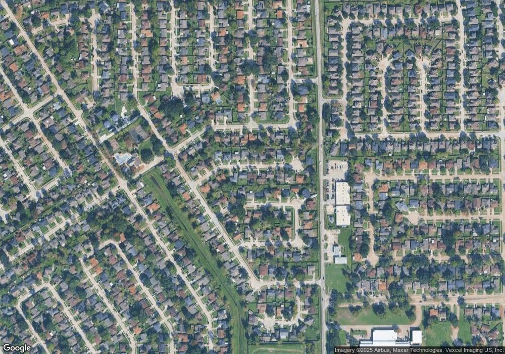
2730 Flintrock Cir Houston, TX 77067
Northside NeighborhoodEstimated Value: $204,180 - $224,000
3
Beds
2
Baths
1,530
Sq Ft
$142/Sq Ft
Est. Value
About This Home
This home is located at 2730 Flintrock Cir, Houston, TX 77067 and is currently estimated at $217,545, approximately $142 per square foot. 2730 Flintrock Cir is a home located in Harris County with nearby schools including Joan Link Elementary School, Stelle Claughton Middle School, and Westfield High School.
Ownership History
Date
Name
Owned For
Owner Type
Purchase Details
Closed on
Oct 31, 2019
Sold by
Gordon Mark W
Bought by
Gordon Mark W and Gordon Barbara
Current Estimated Value
Purchase Details
Closed on
Mar 25, 1994
Sold by
Merrill Terri Lee and Hood Terri Lee
Bought by
Gordon Mark W
Home Financials for this Owner
Home Financials are based on the most recent Mortgage that was taken out on this home.
Original Mortgage
$49,650
Interest Rate
7.71%
Mortgage Type
Seller Take Back
Create a Home Valuation Report for This Property
The Home Valuation Report is an in-depth analysis detailing your home's value as well as a comparison with similar homes in the area
Home Values in the Area
Average Home Value in this Area
Purchase History
| Date | Buyer | Sale Price | Title Company |
|---|---|---|---|
| Gordon Mark W | -- | None Available | |
| Gordon Mark W | -- | -- |
Source: Public Records
Mortgage History
| Date | Status | Borrower | Loan Amount |
|---|---|---|---|
| Closed | Gordon Mark W | $49,650 |
Source: Public Records
Tax History Compared to Growth
Tax History
| Year | Tax Paid | Tax Assessment Tax Assessment Total Assessment is a certain percentage of the fair market value that is determined by local assessors to be the total taxable value of land and additions on the property. | Land | Improvement |
|---|---|---|---|---|
| 2025 | $760 | $197,844 | $36,662 | $161,182 |
| 2024 | $760 | $200,714 | $36,662 | $164,052 |
| 2023 | $760 | $201,641 | $36,662 | $164,979 |
| 2022 | $836 | $182,893 | $17,699 | $165,194 |
| 2021 | $3,848 | $146,865 | $17,699 | $129,166 |
| 2020 | $4,278 | $143,588 | $17,699 | $125,889 |
| 2019 | $3,577 | $140,306 | $10,746 | $129,560 |
| 2018 | $2,424 | $122,697 | $10,746 | $111,951 |
| 2017 | $2,979 | $109,866 | $10,746 | $99,120 |
| 2016 | $2,708 | $109,866 | $10,746 | $99,120 |
| 2015 | $1,941 | $99,876 | $10,746 | $89,130 |
| 2014 | $1,941 | $85,732 | $10,746 | $74,986 |
Source: Public Records
Map
Nearby Homes
- 2754 Flintrock Cir
- 2743 Flintrock Cir
- 2719 Flintrock Cir
- 11907 Medicine Bow Cir
- 12034 Ballardvale Ln
- 11807 Steamboat Springs Dr
- 11707 Steamboat Springs Dr
- 11950 Elk Springs Dr
- 2623 Forge Creek Rd
- 2539 S Camden Pkwy
- 2519 Foxville Dr
- 11811 Spruce Mountain Dr
- 11815 Spruce Mountain Dr
- 12011 Monument Valley Dr
- 11818 Guadalupe River Dr
- 11834 Guadalupe River Dr
- 11983 Steamboat Springs Dr
- 11835 Guadalupe River Dr
- 12222 Cobbs Creek Rd
- 11822 Winter Park St
- 2726 Flintrock Cir
- 2734 Flintrock Cir
- 2719 Kings Canyon Ct
- 2723 Kings Canyon Ct
- 2722 Flintrock Cir
- 2738 Flintrock Cir
- 2715 Kings Canyon Ct
- 2727 Kings Canyon Ct
- 2731 Flintrock Cir
- 2727 Flintrock Cir
- 2711 Kings Canyon Ct
- 2735 Flintrock Cir
- 2723 Flintrock Cir
- 2742 Flintrock Cir
- 2714 Flintrock Cir
- 2731 Kings Canyon Ct
- 2739 Flintrock Cir
- 2707 Kings Canyon Ct
- 2735 Kings Canyon Ct
- 2746 Flintrock Cir
