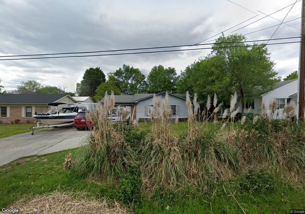
2730 Ingram Rd High Point, NC 27263
Greater High Point NeighborhoodEstimated Value: $190,602 - $264,000
3
Beds
2
Baths
1,268
Sq Ft
$174/Sq Ft
Est. Value
About This Home
This home is located at 2730 Ingram Rd, High Point, NC 27263 and is currently estimated at $220,651, approximately $174 per square foot. 2730 Ingram Rd is a home located in Guilford County with nearby schools including Allen Jay Elementary School, Southern Guilford Middle, and Southern Guilford High School.
Ownership History
Date
Name
Owned For
Owner Type
Purchase Details
Closed on
Mar 20, 2017
Bought by
Flinchum Max M
Current Estimated Value
Purchase Details
Closed on
Apr 28, 1994
Bought by
Flinchum Max M
Create a Home Valuation Report for This Property
The Home Valuation Report is an in-depth analysis detailing your home's value as well as a comparison with similar homes in the area
Home Values in the Area
Average Home Value in this Area
Purchase History
| Date | Buyer | Sale Price | Title Company |
|---|---|---|---|
| Flinchum Max M | -- | -- | |
| Flinchum Max M | $60,300 | -- |
Source: Public Records
Tax History Compared to Growth
Tax History
| Year | Tax Paid | Tax Assessment Tax Assessment Total Assessment is a certain percentage of the fair market value that is determined by local assessors to be the total taxable value of land and additions on the property. | Land | Improvement |
|---|---|---|---|---|
| 2025 | $1,439 | $104,400 | $20,000 | $84,400 |
| 2024 | $1,439 | $104,400 | $20,000 | $84,400 |
| 2023 | $1,439 | $104,400 | $20,000 | $84,400 |
| 2022 | $1,407 | $104,400 | $20,000 | $84,400 |
| 2021 | $1,057 | $76,700 | $17,000 | $59,700 |
| 2020 | $1,057 | $76,700 | $17,000 | $59,700 |
| 2019 | $1,057 | $76,700 | $0 | $0 |
| 2018 | $1,052 | $76,700 | $0 | $0 |
| 2017 | $1,052 | $76,700 | $0 | $0 |
| 2016 | $1,243 | $88,600 | $0 | $0 |
| 2015 | $1,249 | $88,600 | $0 | $0 |
| 2014 | $1,271 | $88,600 | $0 | $0 |
Source: Public Records
Map
Nearby Homes
- 1103 Pegram Ave
- 2716 Allen Jay Rd
- 2616 Ingram Rd
- 2708 Ernest St
- 1846 Sechrest Cir
- 914 Nance Ave
- 706 E Fairfield Rd
- 600 E Fairfield Rd
- 926 Norton St
- 921 Norton St
- 825 Hopewell St
- 2719 Granville St
- 510 Aldridge Rd
- 1640 Kersey Valley Rd
- 10844 N Main St
- 10812, 10822, 10828 N Main St
- 607 Martha Place
- 302 Brittany Way
- 3813 Salisbury St
- 327 Wynnewood Dr
- 2732 Ingram Rd
- 2728 Ingram Rd
- 1213 E Fairfield Rd
- 2726 Ingram Rd
- 2727 Ingram Rd
- 1301 E Fairfield Rd
- 2724 Ingram Rd
- 1209 E Fairfield Rd
- 2722 Ingram Rd
- 2725 Ingram Rd
- 2723 Ingram Rd
- 1212 E Fairfield Rd
- 2720 Ingram Rd
- 3600 Akers Ct
- 1210 E Fairfield Rd
- 2721 Ingram Rd
- 1205 E Fairfield Rd
- 2718 Ingram Rd
- 2719 Ingram Rd
- 3602 Akers Ct