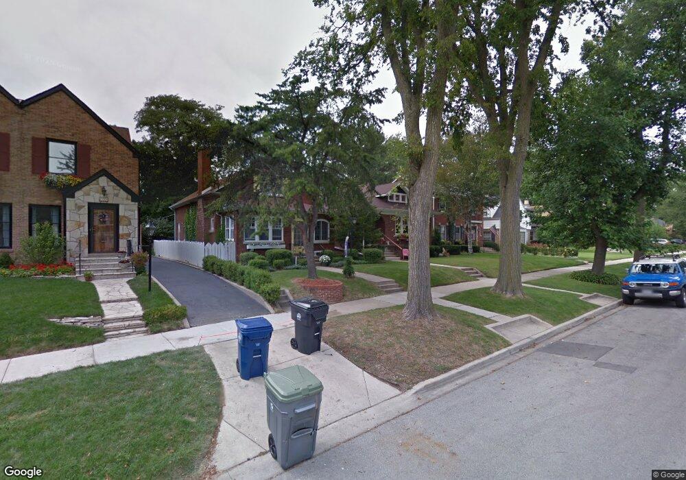
2730 Lawndale Ave Evanston, IL 60201
Central Street NeighborhoodEstimated Value: $588,000 - $816,000
3
Beds
1
Bath
1,411
Sq Ft
$490/Sq Ft
Est. Value
About This Home
This home is located at 2730 Lawndale Ave, Evanston, IL 60201 and is currently estimated at $691,174, approximately $489 per square foot. 2730 Lawndale Ave is a home located in Cook County with nearby schools including Willard Elementary School, Haven Middle School, and Evanston Township High School.
Ownership History
Date
Name
Owned For
Owner Type
Purchase Details
Closed on
Aug 18, 2014
Sold by
Walden Charles H and Plunkett Patricia J
Bought by
Walden Charles and Plunkett Patricia J
Current Estimated Value
Purchase Details
Closed on
Nov 21, 1996
Sold by
Sabin Nettie F and Ozarowski Stanley B
Bought by
Walden Charles and Plunkett Patricia
Home Financials for this Owner
Home Financials are based on the most recent Mortgage that was taken out on this home.
Original Mortgage
$50,000
Interest Rate
7.94%
Create a Home Valuation Report for This Property
The Home Valuation Report is an in-depth analysis detailing your home's value as well as a comparison with similar homes in the area
Home Values in the Area
Average Home Value in this Area
Purchase History
| Date | Buyer | Sale Price | Title Company |
|---|---|---|---|
| Walden Charles | -- | None Available | |
| Walden Charles | $205,000 | -- |
Source: Public Records
Mortgage History
| Date | Status | Borrower | Loan Amount |
|---|---|---|---|
| Closed | Walden Charles | $50,000 |
Source: Public Records
Tax History Compared to Growth
Tax History
| Year | Tax Paid | Tax Assessment Tax Assessment Total Assessment is a certain percentage of the fair market value that is determined by local assessors to be the total taxable value of land and additions on the property. | Land | Improvement |
|---|---|---|---|---|
| 2024 | $9,294 | $43,605 | $11,574 | $32,031 |
| 2023 | $8,874 | $44,361 | $11,574 | $32,787 |
| 2022 | $8,874 | $44,361 | $11,574 | $32,787 |
| 2021 | $8,143 | $36,680 | $7,548 | $29,132 |
| 2020 | $8,142 | $36,680 | $7,548 | $29,132 |
| 2019 | $7,926 | $40,000 | $7,548 | $32,452 |
| 2018 | $7,625 | $34,016 | $6,290 | $27,726 |
| 2017 | $7,726 | $35,033 | $6,290 | $28,743 |
| 2016 | $7,989 | $35,850 | $6,290 | $29,560 |
| 2015 | $7,626 | $32,939 | $5,283 | $27,656 |
| 2014 | $8,066 | $32,939 | $5,283 | $27,656 |
| 2013 | $8,282 | $34,547 | $5,283 | $29,264 |
Source: Public Records
Map
Nearby Homes
- 146 Sterling Ln
- 115 16th St
- 3233 Central St
- 2539 Marcy Ave
- 1517 Gregory Ave
- 2705 Lincolnwood Dr
- 2518 Ridgeway Ave
- 2131 Parkview Ct
- 1531 Wilmette Ave
- 2040 Central Ave
- 2719 Princeton Ave
- 2730 Central St Unit 3A
- 2951 Colfax St
- 2726 Central St Unit 3D
- 1320 Maple Ave
- 2720 Central St Unit 4C
- 1303 Maple Ave
- 1249 Maple Ave
- 2601 Central St Unit 303
- 9833 Keystone Ave
- 2726 Lawndale Ave
- 2732 Lawndale Ave
- 2724 Lawndale Ave
- 2734 Lawndale Ave
- 3111 Thayer St
- 2720 Lawndale Ave
- 2738 Lawndale Ave
- 3115 Thayer St
- 3121 Thayer St
- 2729 Lawndale Ave
- 2737 Lawndale Ave
- 2725 Lawndale Ave
- 2746 Lawndale Ave
- 3125 Thayer St
- 2723 Lawndale Ave
- 3110 Thayer St
- 3100 Thayer St
- 2719 Lawndale Ave
- 2745 Lawndale Ave
- 2733 Lawndale Ave