2730 S 700 E Whitestown, IN 46075
Estimated Value: $334,230 - $356,000
3
Beds
2
Baths
2,144
Sq Ft
$160/Sq Ft
Est. Value
About This Home
This home is located at 2730 S 700 E, Whitestown, IN 46075 and is currently estimated at $342,808, approximately $159 per square foot. 2730 S 700 E is a home located in Boone County with nearby schools including Perry Worth Elementary School, Lebanon Middle School, and Lebanon Senior High School.
Ownership History
Date
Name
Owned For
Owner Type
Purchase Details
Closed on
Feb 23, 2007
Sold by
Zarse Charles K and Zarse Ken C
Bought by
Myer Scott C
Current Estimated Value
Home Financials for this Owner
Home Financials are based on the most recent Mortgage that was taken out on this home.
Original Mortgage
$140,000
Outstanding Balance
$84,967
Interest Rate
6.4%
Mortgage Type
New Conventional
Estimated Equity
$257,841
Create a Home Valuation Report for This Property
The Home Valuation Report is an in-depth analysis detailing your home's value as well as a comparison with similar homes in the area
Home Values in the Area
Average Home Value in this Area
Purchase History
| Date | Buyer | Sale Price | Title Company |
|---|---|---|---|
| Myer Scott C | -- | -- |
Source: Public Records
Mortgage History
| Date | Status | Borrower | Loan Amount |
|---|---|---|---|
| Open | Myer Scott C | $140,000 |
Source: Public Records
Tax History Compared to Growth
Tax History
| Year | Tax Paid | Tax Assessment Tax Assessment Total Assessment is a certain percentage of the fair market value that is determined by local assessors to be the total taxable value of land and additions on the property. | Land | Improvement |
|---|---|---|---|---|
| 2025 | $1,425 | $197,000 | $35,700 | $161,300 |
| 2024 | $1,425 | $187,900 | $35,700 | $152,200 |
| 2023 | $1,308 | $179,800 | $35,700 | $144,100 |
| 2022 | $1,273 | $165,100 | $35,700 | $129,400 |
| 2021 | $1,101 | $144,300 | $35,700 | $108,600 |
| 2020 | $1,024 | $138,300 | $35,700 | $102,600 |
| 2019 | $882 | $133,600 | $35,700 | $97,900 |
| 2018 | $937 | $128,800 | $35,700 | $93,100 |
| 2017 | $903 | $128,000 | $35,700 | $92,300 |
| 2016 | $864 | $120,400 | $35,700 | $84,700 |
| 2014 | $679 | $108,000 | $36,300 | $71,700 |
| 2013 | $664 | $108,000 | $36,300 | $71,700 |
Source: Public Records
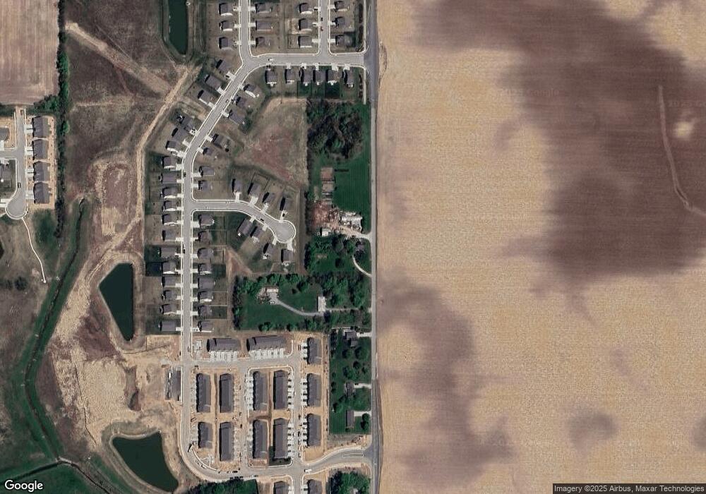
Map
Nearby Homes
- 2646 Grassy Branch Dr
- Convington Plan at Jackson Run - The District
- Quincy Plan at Jackson Run - The District
- Woodburn Plan at Jackson Run - The District
- Monroe Plan at Jackson Run - The District
- Osgood Plan at Jackson Run - The District
- Hanover Plan at Jackson Run - The District
- New Haven Plan at Jackson Run - The District
- 7187 Fowler Dr
- 2413 Stony Creek Dr
- 6695 Sugar Creek Ln
- 2234 Walnut Fork Dr
- 2399 Holiday Creek Dr
- 2252 Stony Creek Dr
- 7 Harrison Ave
- 2 Harrison St
- 2329 Holiday Creek Dr
- 2549 Plano Dr
- Grand Bahama Plan at Jackson Run
- Cedar Plan at Jackson Run
- 6932 Wolf Creek Ct
- 6931 Wolf Creek Ct
- 6914 Wolf Creek Ct
- 2770 S 700 E
- 6909 Wolf Creek Ct
- 6893 Wolf Creek Ct
- 6886 Wolf Creek Ct
- 2792 S 700 E
- 6981 Grassy Branch Dr
- 6967 Grassy Branch Dr
- 2705 Grassy Br Dr
- 6943 Grassy Branch Dr
- 2619 Grassy Branch Dr
- 2322 Dixon Creek Dr
- 6937 Grassy Branch Dr
- 2789 Grassy Branch Dr
- 2585 Grassy Branch Dr
- 2663 Grassy Branch Dr
- 2731 Grassy Branch Dr
- 2597 Grassy Branch Dr