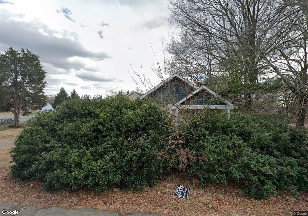
2730 Waughtown St Winston Salem, NC 27107
Broadbay Heights-Stewart Gardens NeighborhoodEstimated Value: $165,000 - $210,000
4
Beds
2
Baths
2,600
Sq Ft
$71/Sq Ft
Est. Value
About This Home
This home is located at 2730 Waughtown St, Winston Salem, NC 27107 and is currently estimated at $183,350, approximately $70 per square foot. 2730 Waughtown St is a home located in Forsyth County with nearby schools including Hall-Woodward Elementary School, Philo-Hill Magnet Academy, and R.B. Glenn High School.
Ownership History
Date
Name
Owned For
Owner Type
Purchase Details
Closed on
Dec 8, 2022
Sold by
Talbert Brenda W
Bought by
Morales Pastrana Silfida and Morales Divorced Silfida
Current Estimated Value
Purchase Details
Closed on
Oct 8, 1998
Sold by
Brendle C J and Brendle Joann S
Bought by
Talbert Bobby D and Talbert Brenda W
Purchase Details
Closed on
Aug 27, 1998
Sold by
Brendle Wanda S
Bought by
Brendle C J and Brendle Joann S
Create a Home Valuation Report for This Property
The Home Valuation Report is an in-depth analysis detailing your home's value as well as a comparison with similar homes in the area
Home Values in the Area
Average Home Value in this Area
Purchase History
| Date | Buyer | Sale Price | Title Company |
|---|---|---|---|
| Morales Pastrana Silfida | $130,000 | None Listed On Document | |
| Talbert Bobby D | $55,500 | -- | |
| Brendle C J | $28,000 | -- |
Source: Public Records
Tax History Compared to Growth
Tax History
| Year | Tax Paid | Tax Assessment Tax Assessment Total Assessment is a certain percentage of the fair market value that is determined by local assessors to be the total taxable value of land and additions on the property. | Land | Improvement |
|---|---|---|---|---|
| 2025 | $1,514 | $130,600 | $78,700 | $51,900 |
| 2024 | $1,445 | $107,900 | $73,500 | $34,400 |
| 2023 | $1,445 | $107,900 | $73,500 | $34,400 |
| 2022 | $1,418 | $107,900 | $73,500 | $34,400 |
| 2021 | $1,392 | $107,900 | $73,500 | $34,400 |
| 2020 | $1,509 | $109,300 | $75,600 | $33,700 |
| 2019 | $1,520 | $109,300 | $75,600 | $33,700 |
| 2018 | $1,444 | $109,300 | $75,600 | $33,700 |
| 2016 | $1,462 | $111,123 | $75,582 | $35,541 |
| 2015 | $1,440 | $111,123 | $75,582 | $35,541 |
| 2014 | $1,396 | $111,123 | $75,582 | $35,541 |
Source: Public Records
Map
Nearby Homes
- 2709 Reid St
- 2643 Reid St
- 2830 Frank St
- 2329 Cole Rd
- 1950 Butler St
- 0 Green Point Rd
- 2922 Poinsetta Dr
- 2723 Reynolds Park Rd
- 2919 Susan Ln
- 0 Hubert Ct
- 137 Vogler Dr
- 1036 Glenmont Rd
- 1629 Rockford St
- 3514 Landis St SE
- 3520 Landis St SE
- 3532 Landis St SE
- 1424 Belleauwood St
- 3538 Landis St SE
- 3544 Landis St SE
- 0 Reynolds Park Rd
- 2736 Waughtown St
- 2214 Cole Rd
- 2731 Waughtown St
- 2727 Waughtown St
- 2735 Waughtown St
- 2725 Waughtown St
- 2226 Cole Rd
- 2710 Waughtown St
- 2714 Waughtown St
- 2713 Waughtown St
- 2205 Cole Rd
- 2804 Waughtown St
- 2707 Waughtown St
- 2215 Cole Rd
- 2808 Waughtown St
- 2110 Cole Rd
- 2726 Reid St
- 2730 Reid St
- 2223 Cole Rd
- 2718 Reid St