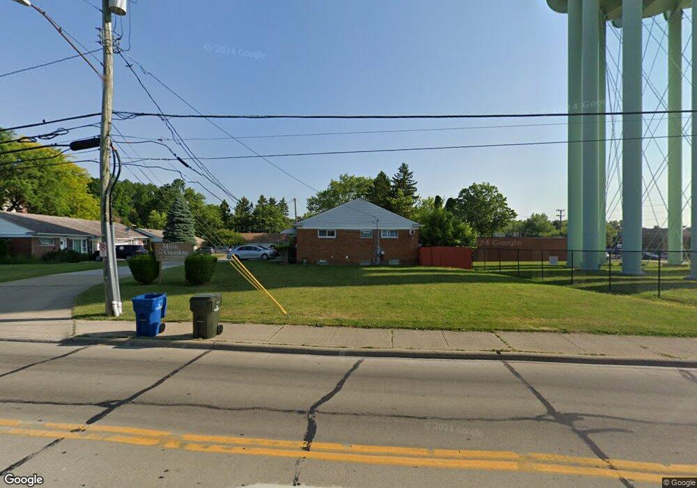
27302 Mill Rd Unit B North Olmsted, OH 44070
Estimated Value: $86,000 - $217,000
2
Beds
1
Bath
888
Sq Ft
$136/Sq Ft
Est. Value
About This Home
This home is located at 27302 Mill Rd Unit B, North Olmsted, OH 44070 and is currently estimated at $120,839, approximately $136 per square foot. 27302 Mill Rd Unit B is a home located in Cuyahoga County with nearby schools including Pine Intermediate School, Chestnut Intermediate Elementary School, and North Olmsted Middle School.
Ownership History
Date
Name
Owned For
Owner Type
Purchase Details
Closed on
Jun 20, 2001
Sold by
Pulito Peter
Bought by
King Robert C
Current Estimated Value
Home Financials for this Owner
Home Financials are based on the most recent Mortgage that was taken out on this home.
Original Mortgage
$88,500
Outstanding Balance
$33,638
Interest Rate
7.11%
Estimated Equity
$87,202
Purchase Details
Closed on
Nov 1, 1990
Sold by
Lynn Virgil H and Lynn M
Bought by
Pulito Peter
Purchase Details
Closed on
Jan 1, 1978
Bought by
Lynn Virgil H and Lynn M
Create a Home Valuation Report for This Property
The Home Valuation Report is an in-depth analysis detailing your home's value as well as a comparison with similar homes in the area
Home Values in the Area
Average Home Value in this Area
Purchase History
| Date | Buyer | Sale Price | Title Company |
|---|---|---|---|
| King Robert C | $88,500 | Chicago Title Insurance Comp | |
| Pulito Peter | $59,000 | -- | |
| Lynn Virgil H | -- | -- |
Source: Public Records
Mortgage History
| Date | Status | Borrower | Loan Amount |
|---|---|---|---|
| Open | King Robert C | $88,500 |
Source: Public Records
Tax History Compared to Growth
Tax History
| Year | Tax Paid | Tax Assessment Tax Assessment Total Assessment is a certain percentage of the fair market value that is determined by local assessors to be the total taxable value of land and additions on the property. | Land | Improvement |
|---|---|---|---|---|
| 2024 | $1,557 | $22,715 | $2,275 | $20,440 |
| 2023 | $1,293 | $15,830 | $1,580 | $14,250 |
| 2022 | $1,286 | $15,820 | $1,580 | $14,250 |
| 2021 | $1,164 | $15,820 | $1,580 | $14,250 |
| 2020 | $1,134 | $13,650 | $1,370 | $12,290 |
| 2019 | $1,103 | $39,000 | $3,900 | $35,100 |
| 2018 | $1,186 | $13,650 | $1,370 | $12,290 |
| 2017 | $1,274 | $14,320 | $1,440 | $12,880 |
| 2016 | $1,263 | $14,320 | $1,440 | $12,880 |
| 2015 | $1,460 | $14,320 | $1,440 | $12,880 |
| 2014 | $1,460 | $16,460 | $1,650 | $14,810 |
Source: Public Records
Map
Nearby Homes
- 26726 Leenders Ln
- 27693 Butternut Ridge
- 4553 Porter Rd
- 26902 Butternut Ridge Rd
- 27504 Cottonwood Trail
- 5248 W Park Dr
- 4429 Canterbury Rd
- 26646 Sweetbriar Dr
- 4345 Martin Dr
- 5032 Devon Dr
- 5399 Berkshire Dr
- 274 Vista Cir Unit B
- 25735 Lorain Rd Unit 218
- 25735 Lorain Rd Unit 121
- 31 Vista Cir Unit A
- 4958 Hampton Dr
- 385 Vista Cir
- 26910 Sudbury Dr
- 5943 Porter Rd
- 8 Golf View Ln
- 27302 Mill Rd Unit 1B
- 27304 Mill Rd
- 27320 Mill Rd
- 27318 Mill Rd Unit 5B
- 27318 Mill Rd Unit B
- 27308 Mill Rd
- 27306 Mill Rd
- 27306 Mill Rd Unit B
- 27314 Mill Rd
- 27316 Mill Rd
- 27314 Mill Rd Unit B
- 4864 Dover Center Rd
- 27312 Mill Rd Unit 3A
- 27310 Mill Rd
- 27312 Mill Rd Unit A
- 4862 Dover Center Rd
- 27420 Mill Rd
- 4858 Dover Center Rd
- 4961 Dover Center Rd
- 4859 Dover Center Rd